Pilgrimsleden, etapp genom Arvika kommun
Pilegrimsrute
- Fylke: Värmlands län
- 6698.61 km fra deg
Detaljer om stien
- Lengde 56.0 km
- Tid 14 h
- Vanskelighetsgrad Grønn - enkel
Handlinger
Beskrivelse
Pilgrimsleden Västra Värmland, starting in Västergötland, goes via Lurö and continues across Värmlandsnäs through Säffle, Arvika and Eda municipalities to the Norwegian border. On the Norwegian side it continues towards Trondheim, former Nidaros.
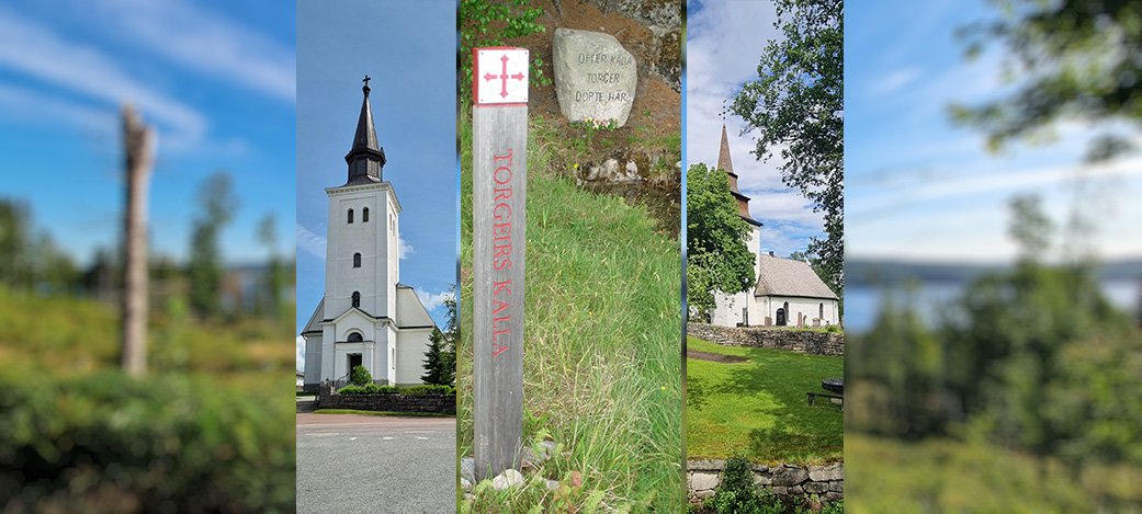
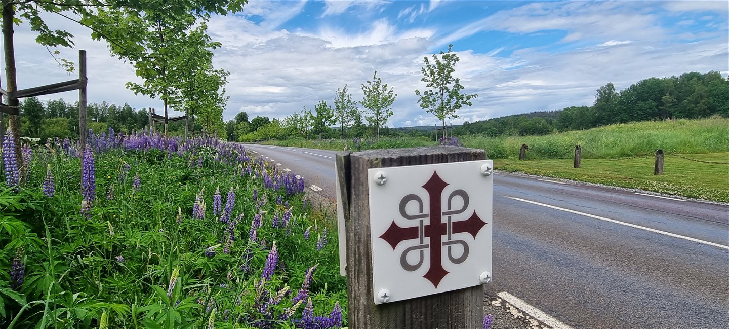
Throughout Arvika municipality, the St Olof's (St Olav's) Cross on wooden posts will guide you all the way from Stömne in the South, at the Säffle border, up to Krokebol in the North East, by the Eda border. The markings are the same as for other Pilgrim's Trails in Sweden and Norway.
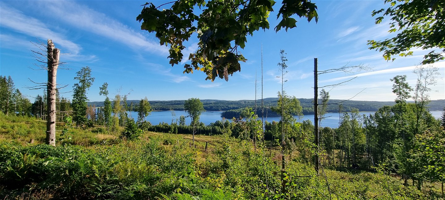
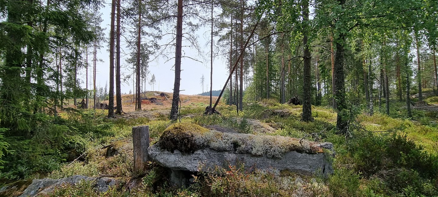
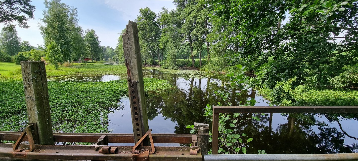
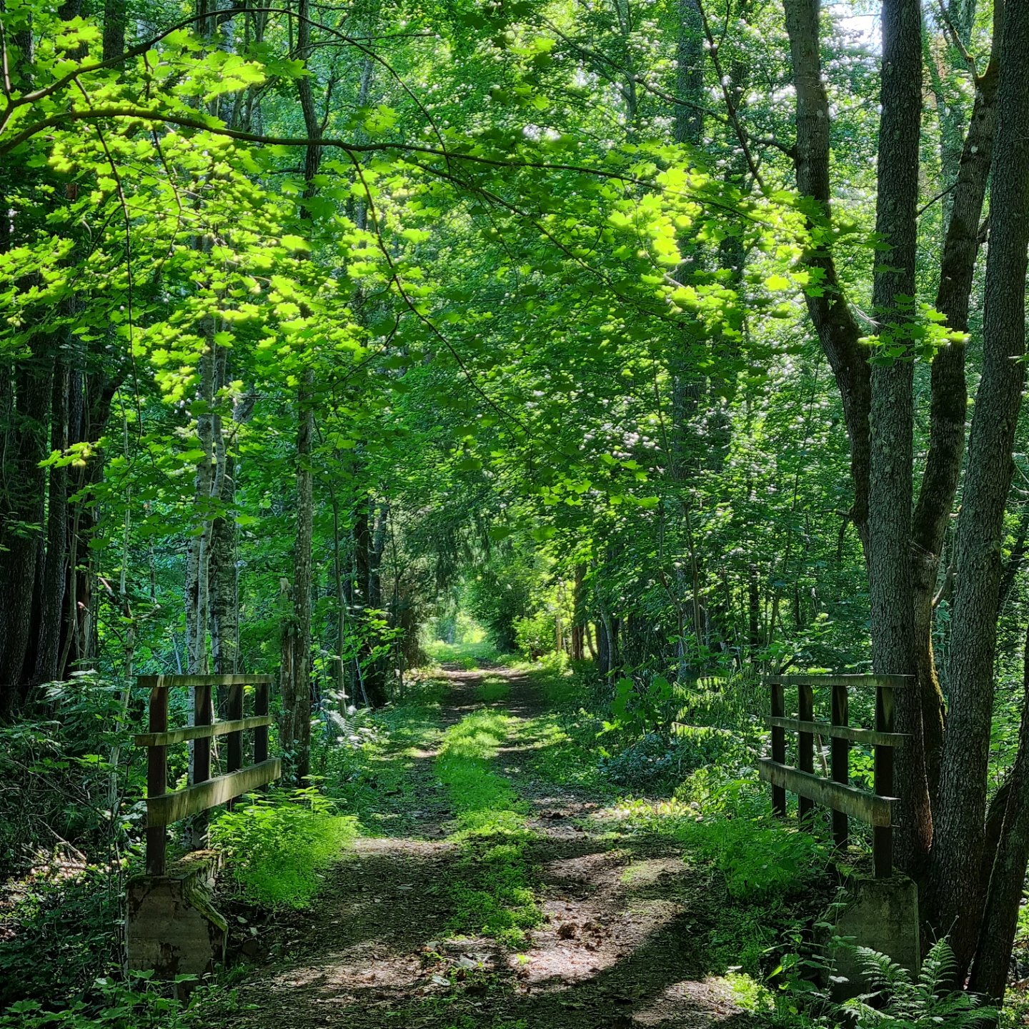
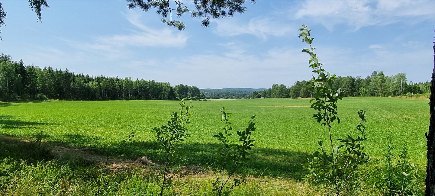
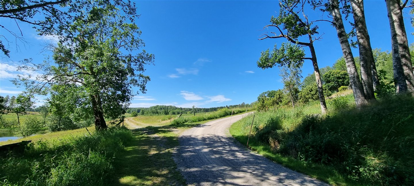
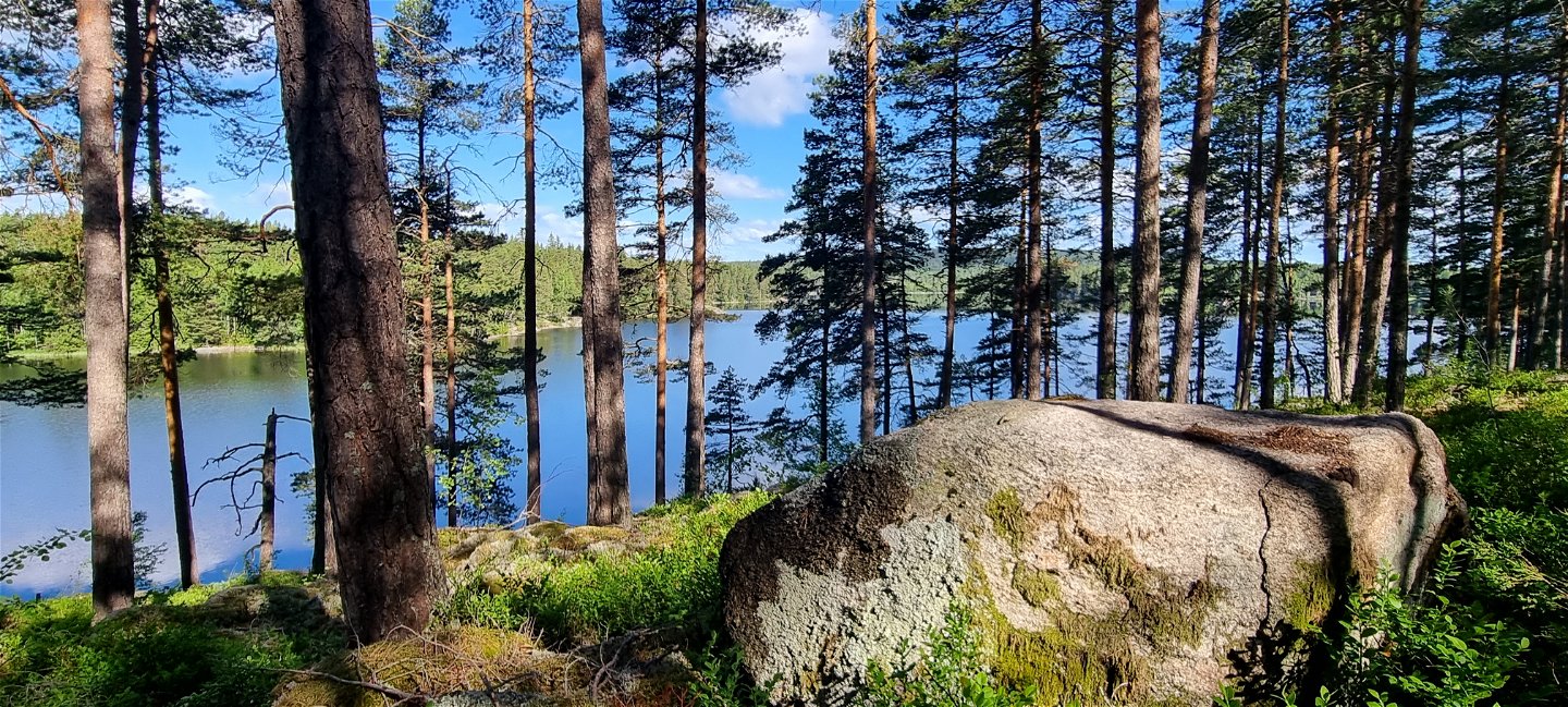
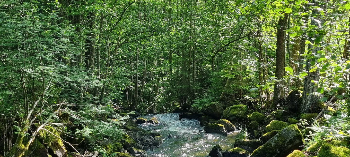
The trail mainly goes through easy terrain, but some stretches follow common roads to connect the 56 km through Arvika. You will experience all sorts of surroundings - meadows, farm land, small villages, gravel roads, asphalt roads, forest roads, forest paths, historic and cultural landmarks.
To read more or download information and maps of the Pilgrimsleden Västra Värmland from Lurö to the Norwegian border, please visit: www.svenskakyrkan.se/arvika
To find out more about pilgrim life and trails in Sweden, please visit: www.pilgrimisverige.se
Aktiviteter og fasiliteter
-
Fotturer
-
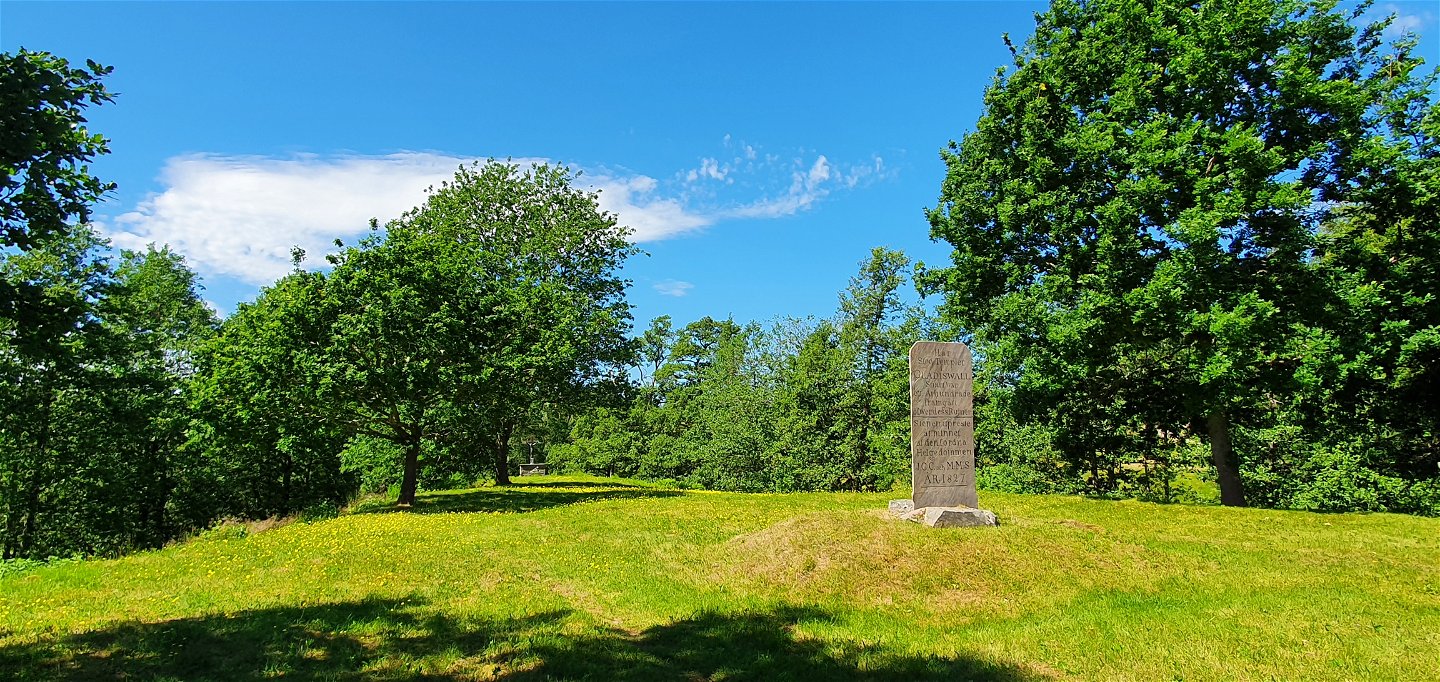
Gammelt monument/kulturminne
-
Pilegrimsrute
Underlag
The trail passes through all types of terrain - meadows, farmland, small communities, gravel roads, asphalt roads, forest roads, forest paths and past cultural and historical landmarks. Often the surface is old marsh roads with grass in the middle, but also shingle-covered logging roads, forest trails and asphalt or gravel roads for car traffic.
Bakker
Mostly flat and easy to walk, but along some forest areas the climb can be a little steeper, for example Majsaklätten in Sölje.
Kommunikasjon
According to the pilgrim tradition, the direction of the trail is from south to north, finally reaching Nidaros/Trondheim.
Part towards Säffle municipality , long 12,782 / lat 59,406 The trail crosses the municipal boundary along a small gravel road, next to Torrgårdshöjden. The nearest public and spacious parking lot is about 2 km north of the section at Stömne nature reserve. You can also take bus 103 Arvika-Stömne. For timetables see Värmlandstrafik (varmlandstrafik.se).
If you choose to go in a southerly direction from the part towards Eda municipality, the coordinates of the starting point in Krokebol are long 12,326 / lat 59,699. Bus line 104 Arvika-Koppom-Årjäng runs past Krokebol. For timetables see the link above.
Kontakt
Adresse
Besöksadress:
Visit Arvika
Arvika Turistcenter
Storgatan 22
671 31 Arvika
www.visitarvika.se
E-postadresse
Visit Arvika
Logotype for organisasjonen

Vær oppmerksom på at noen av disse tekstene er automatisk oversatt.
Spørsmål og svar
Still et spørsmål til andre brukere av Naturkartan.


