
-
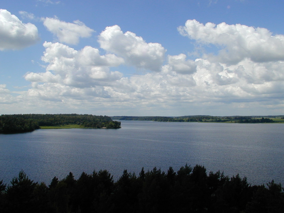
Utsikt över Mälaren -
-
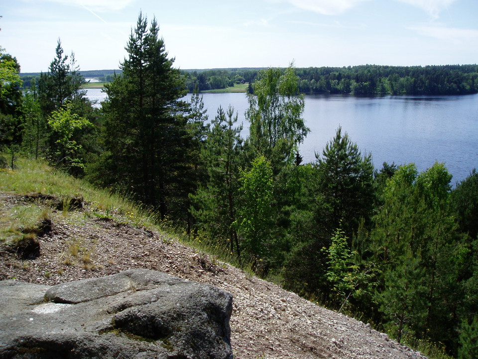
Utsikt från Uppsalaåsen
Arnöhuvud
- Naturreservat
- Parkering i nærheten
- Fylke: Uppsala län
Handlinger
Beskrivelse
High up on Uppsalaåsen we stand and look out over the waters of Lake Mälaren. The sun has just disappeared behind a cloud, and the wind is freshening and ruffling our hair. Surely there is a sea eagle hovering over the bay? In fact, there are many birds in the surrounding bays and we have a wonderful view from the ridge.
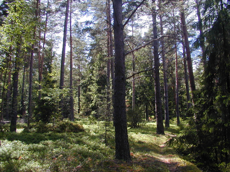
At Arnöhuvud, the Uppsala ridge rises a full 45 m above sea level. The slopes down to the water are steep and covered with coniferous forest. In the Bronze Age, Arnöhuvud was an island from which there was a good view of the waterway towards Uppsala. Traces of the people of that time can be seen today in the form of several large stone cairns.
From the parking lot you can choose between two trails. One, 650 m long, goes through a forest with many deciduous trees, down towards the water and Reveludden. If you follow the other path, after about 1.3 km you will reach the top of Arnö huvud. Feel free to bring a coffee and stay for a while.
Services: Information boards, trails, parking
Administrator: County Administrative Board in Uppsala County
Aktiviteter og fasiliteter
- Naturreservat
Tilgjengelighet
- Parkering i nærheten
Veibeskrivelse
The Arnöhuvud nature reserve is located on the Skoh Peninsula.
By car: It is not easy to find the reserve so it is recommended that you bring a map. From road 263, turn off onto Skohalvön towards Skokloster. 2.5 km before you reach Skokloster Castle, turn left. Here is a road sign "Arnöhuvud nature reserve 3 km". Soon you turn left again and drive past Bagarbo. Then left once more towards Lillåker. Continue until you reach the reserve's parking lot.
Kontakt
E-postadresse
Länsstyrelsen i Uppsala län
Jeg har vært her 26



Jeg ønsker å dra hit 60


Spørsmål og svar
Still et spørsmål til andre brukere av Naturkartan.
Omtaler
1 anmeldelse
- 5 :
- 4 :
- 3 :
- 2 :
- 1 :
Brukernes bilder
Ingen brukerbilder ennå. Bli den første til å dele!
