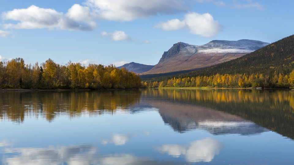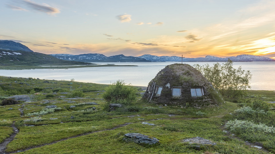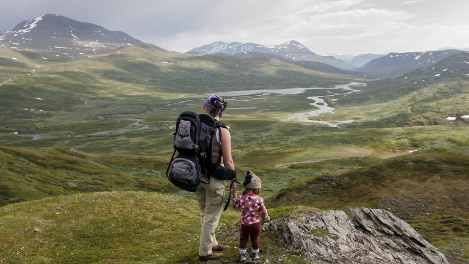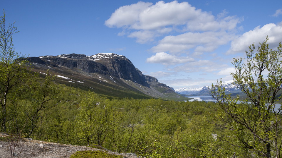
Beste turstier i Jokkmokk

Jokkmokk

Naturkarten samler de turstiene i Jokkmokk som er mest populære blant våre brukere.

Bilder

Kart

39 Beste turstier i Jokkmokk

Fotturer

Vandringsled BD62 mellan Saltoluokta och Sitojaure

  • Kommune: Jokkmokk
  • 6418.17 km fra deg
  • 19.0 km

From Saltoluokta Mountain Station the trail rises steeply through pine forest. There are several parallel paths and paths that branch off. It is easy to take the wrong path, so pay attention to the trail markings, which consist of signposts and orange colou…
Fotturer

Kungsleden, Vandringsled BD65 mellan Aktse och Pårtestugan

  • Kommune: Jokkmokk
  • 6413.90 km fra deg
  • 23.0 km

The stretch is long, demanding and varied, and you are walking in Sarek National Park practically the whole time. The stage includes a boat transport, and hiking both on bare mountain and in virgin coniferous forest. From the Aktse Cabin, a 1 km plankway le…

Fotturer

Vandringsled BD63 mellan Sitojaure och Aktse

  • Kommune: Jokkmokk
  • 6422.08 km fra deg
  • 11.5 km

The stage begins with boat transport across the lakes Gasskájaure and Gåbddåjávrre. You can pre-book boat transport with Sitojaure båttransport, +46 (0)73-079 96 03, +46 (0)70-277 66 88. If hiking from the south, please call to book your boat shuttle when y…

Fotturer

Vandringsled BD66 mellan Pårtestugan och Kvickjokk

  • Kommune: Jokkmokk
  • 6409.59 km fra deg
  • 17.0 km

You hike through montane forest for the whole stretch. The trail is mostly easy to walk and gradually descends towards Kvikkjokk. There are rockier sections at the beginning of the hike, and for a few kilometres after the trail leaves Lake Stuor Dáhta. This…

Fotturer

Vandringsled BD77 mellan Kvikkjokk och Västerfjäll

  • Kommune: Jokkmokk
  • 6407.13 km fra deg
  • 34.0 km

South of Kvikkjokk the King’s Trail is not as well frequented. Nor is there the same system of overnight cabins as further north, so a tent must be carried for tours over several days. However, the trail does pass some cabins and several small settlements o…

Fotturer

Lilla stigslingan, Muttosbálges/Muttosleden

  • Kommune: Jokkmokk
  • 6510.63 km fra deg
  • 24.0 km

The trail passes the waterfall Muddusagahtjaldak/Muttosfallet and the deep ravine Måskosgårsså. Easy walk. The trail is maintained by Laponiatjuottjudus.

Fotturer

Vandringsled BD71 från Tarrekaise via Njunjes till Kvikkjokk

  • Kommune: Jokkmokk
  • 6391.29 km fra deg
  • 22.0 km

Tarrekaise-Njunjes, 7 km This is a short, strenuous stretch regardless of the direction travelled. The surface is rocky and becomes muddy in the rain. The hike begins in dense, verdant mountain birch forest. Tall vascular plants grow here – Alpine Blue Sow-…

Fotturer

Vandringsled BD61 mellan Pietsaure och Saltoluokta

  • Kommune: Jokkmokk
  • 6414.44 km fra deg
  • 6.0 km

The trail starts at the Sámi settlement on the east shore of Lake Bietsávrre. A distinct trail leads from the settlement to Saltoluokta mountain station. Enjoy the view of Lake Láŋas and Lulep Gierkav mountain on your way down. The trail joins the King’s Tr…

Fotturer

Padjelantaleden, Vandringsled BD57 mellan Kutjaure och Laddejåkkstugan

  • Kommune: Jokkmokk
  • 6349.82 km fra deg
  • 17.0 km

You begin the hike by crossing Sieberjåhkå stream via a suspension bridge. Once across the bridge you are in Padjelanta/Bádjelannda National Park. The trail continues over brush-covered mountain moor on the vast Skäjdda plateau. Species growing here include…

Fotturer

Stora stigslingan, Muttosbálges/Muddusleden

  • Kommune: Jokkmokk
  • 6509.26 km fra deg
  • 45.0 km

The trail passes the waterfall Muddusagahtjaldak/Muttosfallet, Muttosluoppal, Manson, Nammavárre and the ravine Måskosgårsså, totally 45 km. Easy walk. The trail is maintained by Laponiatjuottjudus.

Fotturer

Vandringsled BD64 mellan Aktse och Sitoälvsbron

  • Kommune: Jokkmokk
  • 6422.41 km fra deg
  • 6.0 km

Flat and easily-hiked trail. There are plankways over wet parts and bridges across the biggest streams. There are not many good tent pitches along the trail, but at the stream from Tjårek there is a little campsite. You can also pitch a tent at the Aktse ca…

Beste turstier i Jokkmokk

Naturkarten samler de turstiene i Jokkmokk som er mest populære blant våre brukere.

Naturkartan

Åpne dette i appen