Aneby

Beste turstier i Aneby

Naturkarten samler de turstiene i Aneby som er mest populære blant våre brukere.

Kart

19 Beste turstier i Aneby

Fotturer

Viredabanan

  • Kommune: Aneby
  • 6743.83 km fra deg
  • 4.6 km

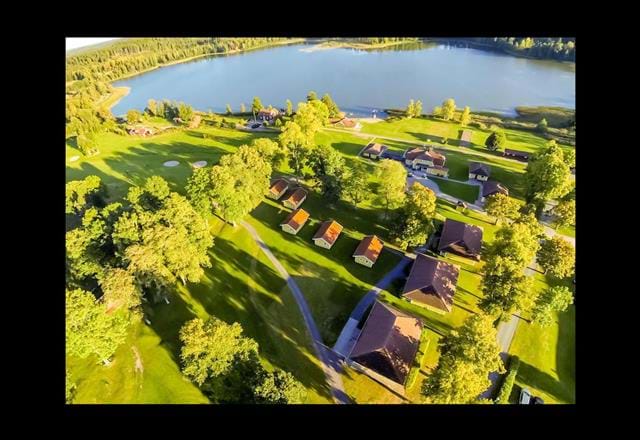
The Wiredaholm trail is a pleasant circular trail that partly follows an old embankment and partly runs through the Wiredaholm golf course. The loop is ideal for a short walk, but also has a connection to Stages A1 and A2 on Anebyleden. The trail is easy to…
Fotturer

Avstickare Pinte Udde (badplats)

  • Kommune: Aneby
  • 6766.78 km fra deg
  • 0.2 km

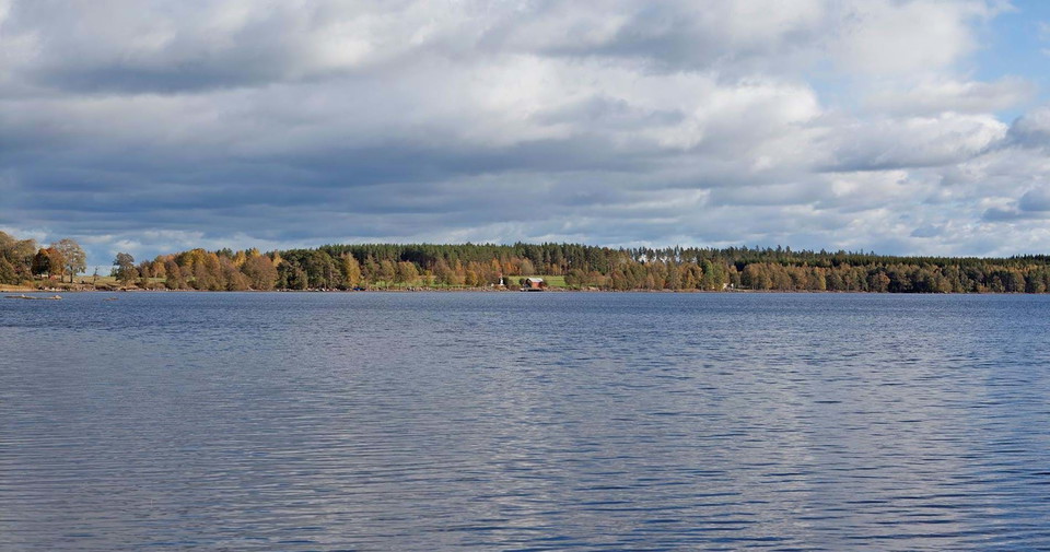
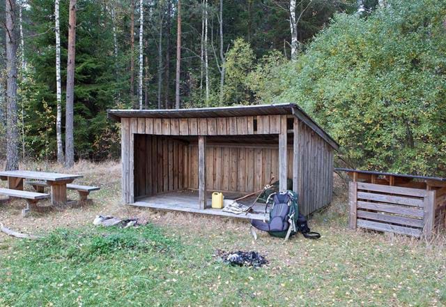
Detour of 150 m (one-way) to a bathing place on Pinte udde at Assjön. See sign by the road.

Fotturer

Anslutning Aneby Resecentrum - A2/A3

  • Kommune: Aneby
  • 6757.52 km fra deg
  • 2.1 km

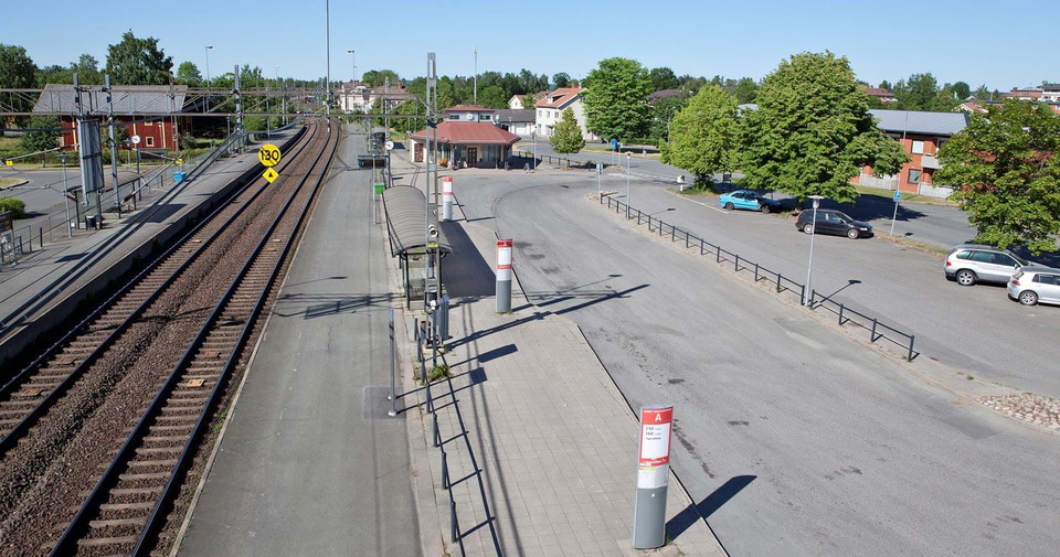
A detour of 2.1 km (one way) connects Smålandsleden to train and bus connections at Aneby Resecentrum. Most of the route is part of the Stalpet-Målsannaleden trail, which is marked in orange. Aneby Resecentrum (train, bus, parking) and Stalpet (parking).

Fotturer

Avstickare Noen (badplats)

  • Kommune: Aneby
  • 6747.96 km fra deg
  • 2.2 km

A marked detour of 2.2 km (one-way) to a Noen bathing place at Lake Noen. There is also a simple rest area at the bathing area.

Fotturer

Avstickare Stjärneborg (gravpyramid)

  • Kommune: Aneby
  • 6753.49 km fra deg
  • 1.0 km

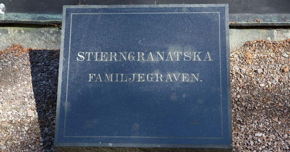
An unmarked detour of about 1.0 km (one-way) to the burial pyramid at Stjärneborg. The detour also passes a parking lot where there is a rest area, toilets and a museum.

Fotturer

Avstickare Ralingsås (vatten)

  • Kommune: Aneby
  • 6756.24 km fra deg
  • 0.7 km

An unmarked detour of about 700 m (one way) to a water tap at Ralingsåsgårdens camping.

Fotturer

Anebyleden etapp A2 Vireda - Stalpet - En del av Smålandsleden

  • Kommune: Aneby
  • 6743.86 km fra deg
  • 22.9 km
  • 350
  • Vanskelighetsgrad: Blå

Stage A2 starts at the A1/A2 connecting trail to Wiredaholm and northwards stage A1 goes towards Örserum and Holavedsleden while A2 continues towards Aneby and the Stalpet waterfall to stage A3 and further east. The hike goes along narrow country roads with…

Fotturer

Anebyleden etapp A3 Stalpet - Gransnäs - En del av Smålandsleden

  • Kommune: Aneby
  • 6757.86 km fra deg
  • 19.1 km
  • 290
  • Vanskelighetsgrad: Blå

When you hike Anebyleden east along stage A3 and on towards the south-eastern tip of Västra Lägern, it is 41 km to the municipal border and Höglandsleden. The nature reserve at Lake Hyllingen is an important nesting and resting place for migratory birds. T…

Fotturer

Anebyleden etapp A4 Gransnäs - Västra Lägern - En del av Smålandsleden

  • Kommune: Aneby
  • 6766.77 km fra deg
  • 21.6 km
  • 325
  • Vanskelighetsgrad: Blå

At the start of the stage in Gransnäs is Assjön, a nature-protected spring lake with very clear and clean water. At the lake is the Gransnäs course and campground and at Pinte udde there is a swimming area. In Krister's kingdom there is a soldier's cottage…

Fotturer

Anslutning Wiredaholm - A1/A2

  • Kommune: Aneby
  • 6743.93 km fra deg
  • 3.7 km

Anslutningsled mellan Wiredaholm säteri och etapp A1/A2. Här kan du parkera, äta lunch och spela golf. Finns möjlighet att fylla på vatten och tillgång till toalett.

Beste turstier i Aneby

Naturkarten samler de turstiene i Aneby som er mest populære blant våre brukere.

Naturkartan

Åpne dette i appen