Beste turstier i Gnosjö

Gnosjö

Naturkarten samler de turstiene i Gnosjö som er mest populære blant våre brukere.

Bilder

Kart

24 Beste turstier i Gnosjö

Fotturer

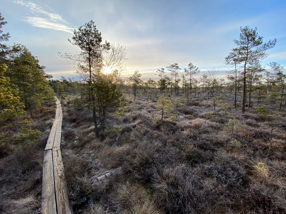
Kävsjön runt

  • Kommune: Gnosjö
  • 6740.22 km fra deg
  • 12.0 km

You can start your hike from four different entrances: the ‘Naturrum’, (nature information centre), Kävsjö, Svänö and Östra Rockne. If you start at the ‘Naturrum’, a paper is guide available for the entire route, which you will find in the box at the car pa…
Fotturer

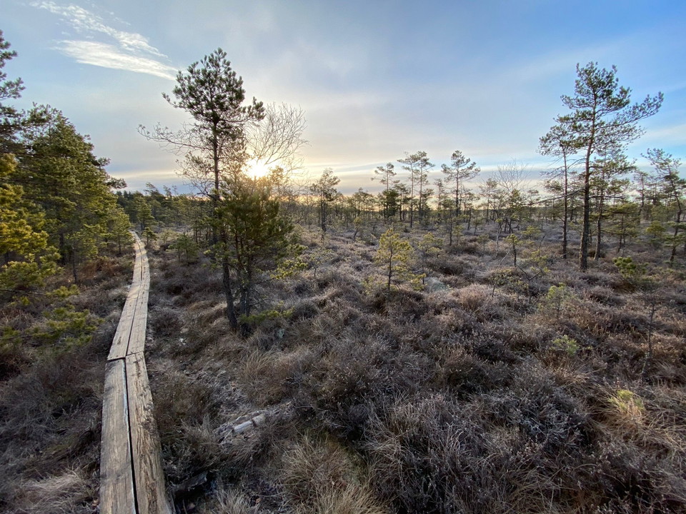
Vandring, Kävsjön runt

  • Kommune: Gnosjö
  • 6740.22 km fra deg
  • 12.0 km
  • 3 t

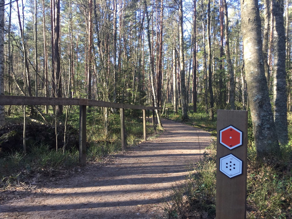
The trail is marked in red. You can start the hike at four different entry points: Naturum, Kävsjö, Svänö, and Östra Rockne. If you start at Naturum, there is a paper guide for the entire route. It is located in a box by the parking lot. The paper guide is…

Fotturer

Lilla Lövö runt

  • Kommune: Gnosjö
  • 6741.29 km fra deg
  • 6.2 km
  • Vanskelighetsgrad: Grønn

The trail starts at the footbridge over the railway at Kittlakull. First you will hike through the old peat extraction area. Then you cross the large ditch and come out onto the truly unspoilt Högmossen. The walk is about 1.5 km on a raised plank, and here…

Fotturer

Svartgölsleden

  • Kommune: Gnosjö
  • 6743.42 km fra deg
  • 3.6 km

Svartgölsleden går från parkeringen Östra Rockne till Svartgölen, en mossesjö, där det finns en plattform med rastplats. Leden är 3,6 km lång fram och tillbaka. Leden är tillgänglighetsanpassad och kan vandras med barnvagn och rullstol. Leden följer först r…

Fotturer

Lilla Lövö runt

  • Kommune: Gnosjö
  • 6741.29 km fra deg
  • 5.3 km

Leden startar vid gångbron över järnvägen vid Kittlakull. Det är först vandring genom det gamla torvtäktsområdet. Därefter korsar man det stora diket och kommer ut på den riktiga orörda högmossen. Det är vandring på plankor cirka 1,5 km och här är det ödema…

Fotturer

Ledsystem Moskogen-Rydet-Bullrahål

  • Kommune: Gnosjö
  • 6732.47 km fra deg
  • 6.7 km

Hiking trail system with three interconnected trails. The trails are marked with orange markings on the trees. The visitor can choose the route by walking on at the various junctions. Moskogsleden is 2 km with Rydetleden it becomes 4 km and over Bullrahålsl…

Fotturer

Lindestubbeleden

  • Kommune: Gnosjö
  • 6732.01 km fra deg
  • 5.1 km
  • Vanskelighetsgrad: Rød

Lindestubbeleden is a nature trail that runs along forest paths in the landscape north of Skärvån. It is about 5.3 km long and runs in hilly terrain. When you are at the top, you have a fantastic view. The trail is signposted and starts from the outskirts o…

Fotturer

Hälsans stig - Gnosjö

  • Kommune: Gnosjö
  • 6727.89 km fra deg
  • 6.1 km

Take the opportunity to visit Tölltorp's industrial museum with guided tours.

Fotturer

Kävsjölänken etapp K1 Store Mosse - Töllstorp - En del av Smålandsleden

  • Kommune: Gnosjö
  • 6729.05 km fra deg
  • 18.1 km
  • 4 t 40 min
  • Vanskelighetsgrad: Blå

Kävsjölänken is about 19 kilometers long. The trail runs between Töllstorp recreation area and Kävsjö church. The trail is moderately difficult, it starts in fairly hilly terrain, but ends on flat ground if you start in Gnosjö. Once you arrive in Kävjsö, yo…

Fotturer

Järnbärarleden etapp J2 Töllstorp - Kärringabacka - En del av Smålandsleden

  • Kommune: Gnosjö
  • 6724.63 km fra deg
  • 9.1 km
  • 2 t 20 min
  • Vanskelighetsgrad: Blå

The Järnbärarleden trail between Kärringsbacka and Töllstorp in Gnosjö offers a scenic and varied hike through the forests and countryside of Västra Småland. The stage is about 10 km long and follows orange markings that lead you through an environment char…

Fotturer

Järnbärarleden etapp J1 Hestra - Kärringabacka - En del av Smålandsleden

  • Kommune: Gnosjö
  • 6716.56 km fra deg
  • 12.2 km
  • 3 t
  • Vanskelighetsgrad: Blå

This stretch of the Järnbärarleden trail takes you from Kärringsbacka to the well-known Isaberg outdoor area. The hike goes through classic Småland forest with quiet paths, moss-covered rocks and nature that changes from dense spruce forest to more open are…

Fotturer

Wibecksleden

  • Kommune: Gnosjö
  • 6741.39 km fra deg
  • 2.6 km

1.6 kilometers round trip, the hike takes about 0.5 hours there and back. Marked with white trail paint. The trail starts at the nature center and is adapted for the visually impaired and it is possible to bring strollers and wheelchairs on the trail. There…

Beste turstier i Gnosjö

Naturkarten samler de turstiene i Gnosjö som er mest populære blant våre brukere.

Naturkartan

Åpne dette i appen