Regnöleden
- Kommune: Gnosjö
- 6738.61 km fra deg
- 0.4 km
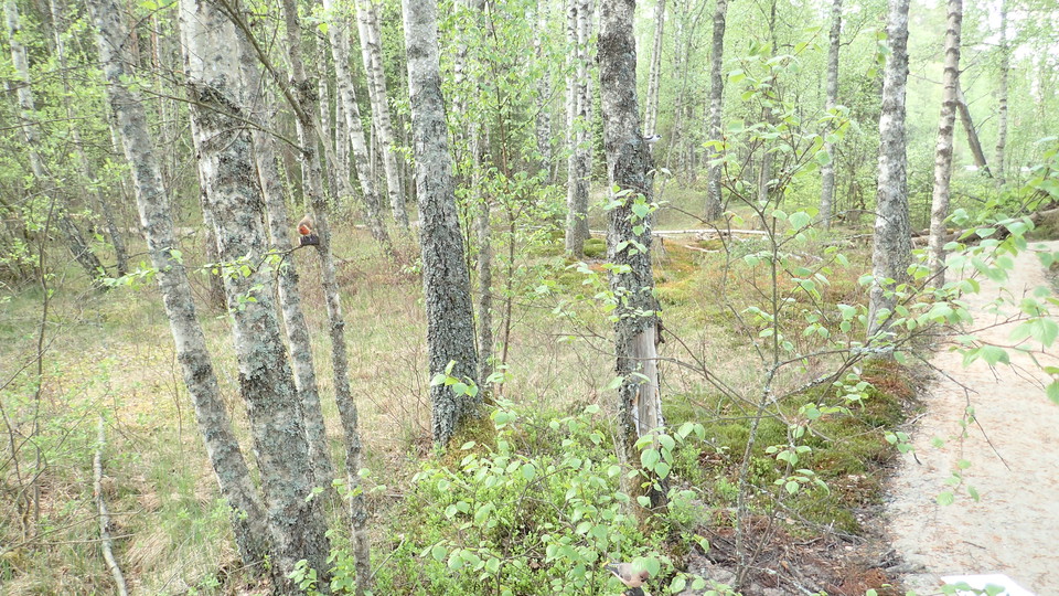
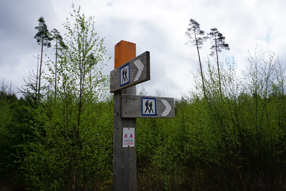
Regnöleden, short hiking trail from High Chapparal. Trail marking : Red
Gnosjö
Naturkarten samler de turstiene i Gnosjö som er mest populære blant våre brukere.
Regnöleden, short hiking trail from High Chapparal. Trail marking : Red
Bicycle and hiking trail from Kävsjö to the nature center. Red
Bike trail Värnamo - naturum Store Mosse Green, Red
Välkomna till skogstrollens stig och ta del av vår saga. Hjälp till att hitta det bortsprungna trollet Gnarp bland vättar, smådjur, fåglar, fjärilar, blommor och lavar. Stigen är 500 meter lång och finns i anslutning till naturum. Längs med stigen finns det…
Hiking trail system with three interconnected trails. The trails are marked with orange markings on the trees. The visitor can choose the route by walking on at the various junctions. Moskogsleden is 2 km with Rydetleden it becomes 4 km and over Bullrahålsl…
Lindestubbeleden is a nature trail that runs along forest paths in the landscape north of Skärvån. It is about 5.3 km long and runs in hilly terrain. When you are at the top, you have a fantastic view. The trail is signposted and starts from the outskirts o…
A detour of 1.2 km (one way) towards Gnosjö STF Hostel. The detour is marked in orange and passes Töllstorp Industrial Museum.
An unmarked detour of about 200 m (one way) between the main road and the stop "Kävsjö".
Stage HÖ23 of the Höglandsleden trail stretches between Åsafors and Kärringsbacka and offers a scenic hike through Småland's varied landscape. The trail passes through dense forests, open meadows and along rippling streams, providing a rich experience of th…
This stretch of the Järnbärarleden trail takes you from Kärringsbacka to the well-known Isaberg outdoor area. The hike goes through classic Småland forest with quiet paths, moss-covered rocks and nature that changes from dense spruce forest to more open are…
The Järnbärarleden trail between Kärringsbacka and Töllstorp in Gnosjö offers a scenic and varied hike through the forests and countryside of Västra Småland. The stage is about 10 km long and follows orange markings that lead you through an environment char…
Kävsjölänken is about 19 kilometers long. The trail runs between Töllstorp recreation area and Kävsjö church. The trail is moderately difficult, it starts in fairly hilly terrain, but ends on flat ground if you start in Gnosjö. Once you arrive in Kävjsö, yo…
Lake Töllstorpa around Yellow/White
Naturkarten samler de turstiene i Gnosjö som er mest populære blant våre brukere.