Led Bergs klätt
- Kommune: Arvika
- 6543.21 km fra deg
- 0.4 km
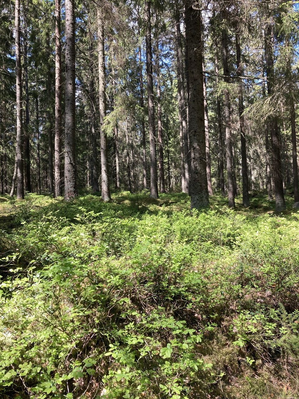
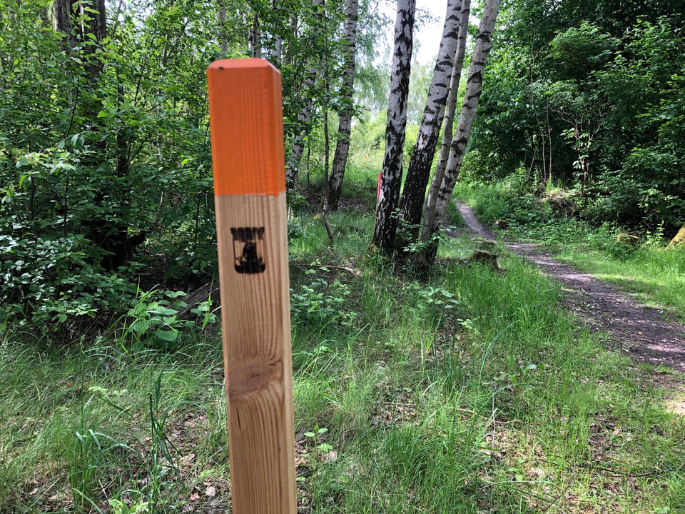
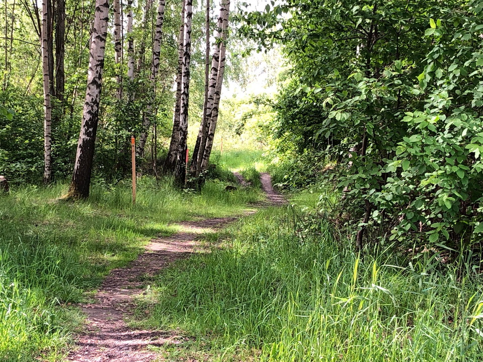
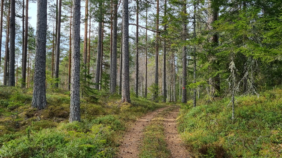
This trail goes to an ancient site a little way up the slope, a rock cist.

Värmlands län
Naturkartan samlar de rundslingorna för vandring i Värmlands län som är populärast bland våra användare.
This trail goes to an ancient site a little way up the slope, a rock cist.
Nature reserve with 88 ha and dominated by coniferous forest. Close to Glava Glasbruk and Glaskogen Nature Reserve. There is a circular hiking trail of 5,6 km through the area. The starting point is a few hundred meters north of Glava Glasbruk, up the hill.…
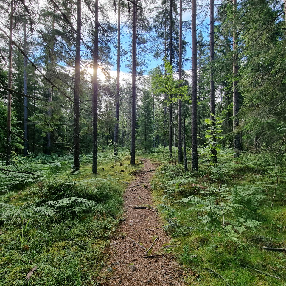
On the east side of the creek, the trail goes along an old carriage way (gravel surface) and is a fairly easy walk. On the west side the trail follows a path through pine forest, which is more demanding as the terrain is hilly, winding and slopes down towa…
Directions: From Highway 61 to Byamossarna and the ducal couple's trail: Exit from Highway 61 towards Mangskog at the height of Edane, the sign says Mangskog 10km. Drive about 9 kilometres and then turn left at the sign "Treskog 21". Drive about 5.5 km and…
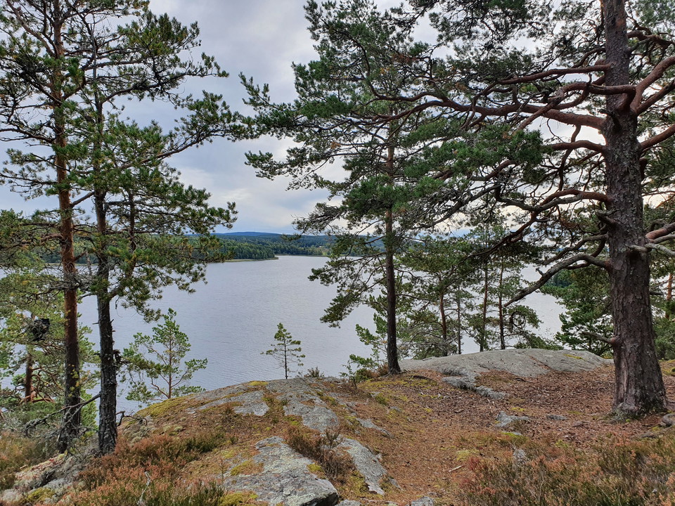
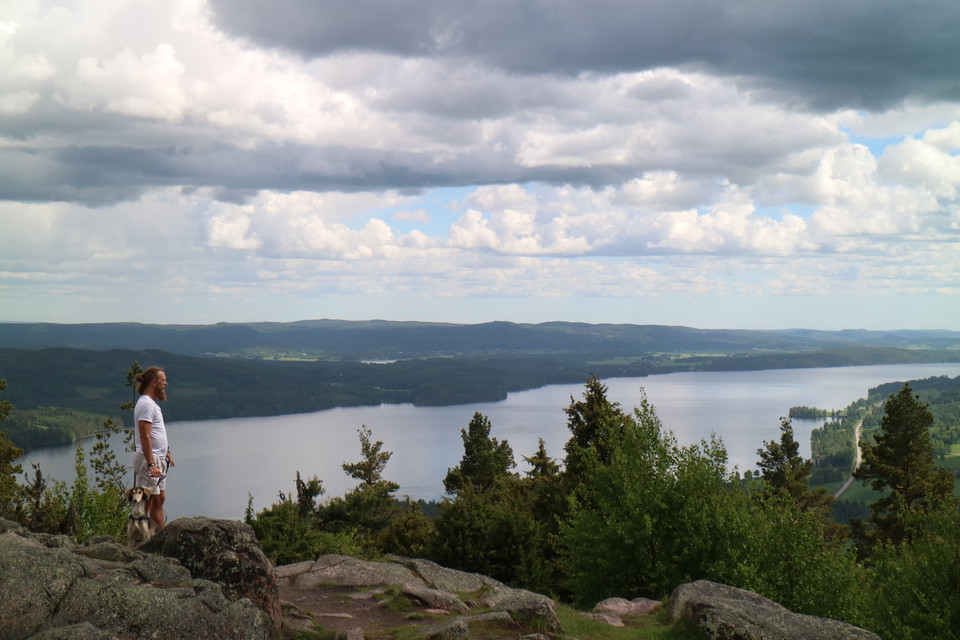
This loop goes over the highest peak of Klättten and the ancient remains found there. At present, the northern part of the loop is closed due to the risk of falling trees. Therefore, you have to take the same way down again after the visit to the mountain.
Description in English...
Start at Kristinehamn's guest harbor and walk along the water to Kristinehamn Herrgårdscamping. There is lovely nature here with deciduous trees such as willow, birch, alder and hedge. The beach forest between Kristinehamn Arena and Kristinehamn Herrgårdsca…
This trail runs between the campsite, Kristinehamns Herrgårdscamping, and the guest marina. Parts of the trail follows the lakeside, and it is easy to continue onto the waterfront walkway along Vålösundet toward the Picasso sculpture.
Summary In Mangskog there are many paths of Finn tradition. Two of them are orange marked hiking trails, Finnleden Västra and Finnleden Östra that meet up north in Bjurbäcken and run parallel for a bit. Finnleden Västra is a circular trail of 15 km with par…
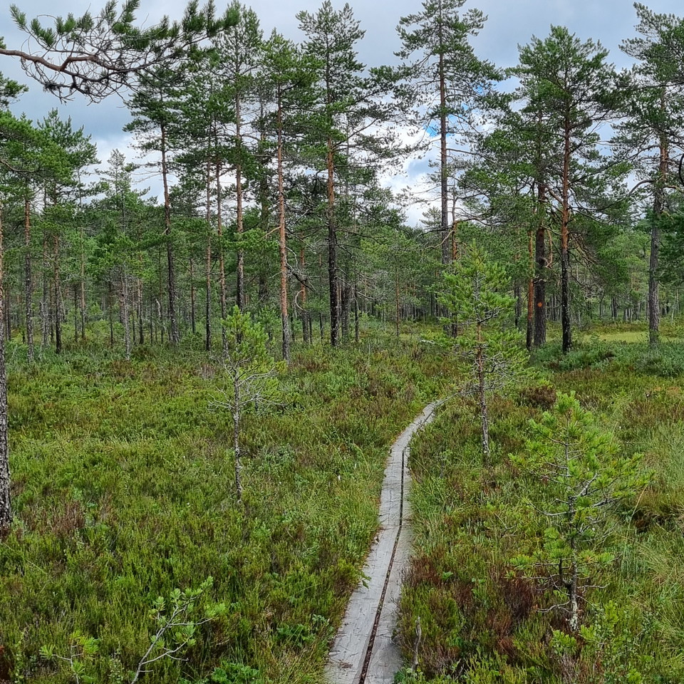
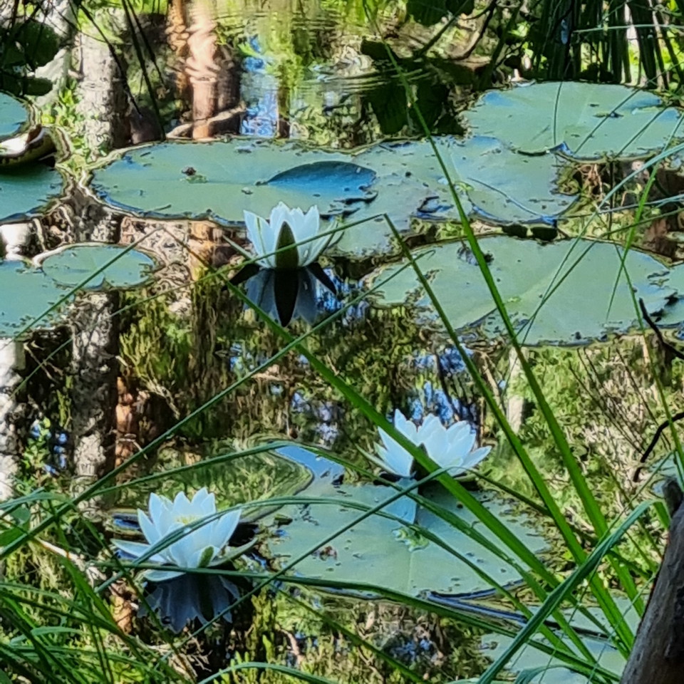
A circular hiking trail of 11 km starting at Jössestugan, Rackstad. A varied, scenic trail through mixed coniferous forests, stretches of old pines, over hilltops and along streams, a mire and a lake where white water lilies bloom in June-July. The climb ac…
A hiking trail of 7 km with start and finish at Jössestugan, Rackstad. The trail goes across the heights Svarttjärnshöjden, Djupdalshöjden and Gallberget with nice views. The forest is mixed, stretching through pine and spruce populations but also some juni…
A 5 km circular hiking trail which starts at the Jösse Cabin (Jössestugan) in Rackstad. The trail passes through coniferous forests, partly old pine forest, and along streams and a tarn. The climb to the top of Gallberget has some steep parts, but is overal…
Vandringsleden börjar och slutar på Värmlandsgården. En del föjller grusvägar, men största delen föjler smala skogsstigar. Leden är skiftande och i södra delen går man upp till 'Snarkullen'. På toppen har man en fantastisk utsikt över sjöar och skogar. På s…
Follow the shore of Lake Vänern Cycle along the shore of Lake Vänern to the world's tallest Picasso sculpture! You start at Kristinehamns Gästhamn and Ställplats and from here you cycle the nice bike path out towards the archipelago and the Picasso sculptur…
**This route takes you along the glittering Fryken Lakes, over dramatic heights and through a cultural landscape that has inspired writers for generations. Perfect as an intensive day trip or an enjoyable two-day trip with a twist. (Here you can choose to r…
Naturkartan samlar de rundslingorna för vandring i Värmlands län som är populärast bland våra användare.