Bästa rundslingorna för vandring i Dalarnas län

Dalarnas län

Naturkartan samlar de rundslingorna för vandring i Dalarnas län som är populärast bland våra användare.

Bilder

Kart

40 Bästa rundslingorna för vandring i Dalarnas län

Sirkulær slynge

Vattnets väg: Puttbo-Kråkmyran-Källslätten

  • Kommune: Falun
  • 6639.88 km fra deg
  • 12.1 km

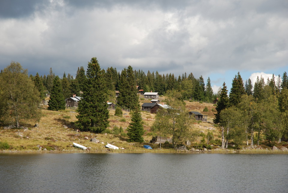
This 12-kilometer round trip is part of the three-mile-long trail system "Vattnets väg till gruvan" west of Falun. The loop is a perfect day trip that offers both beautiful nature and a lot of cultural history. A hike here is a good way to gain insight into…

Sirkulær slynge

14 Abborrtjärn Runt - Familjeled, en del av Etapp 14 & 22 | Bruksleden

  • Kommune: Smedjebacken
  • 6687.77 km fra deg
  • 3.0 km
  • 45 min
  • Vanskelighetsgrad: Grønn

Stora Abborrtjärn runt is an easy hike for the whole family. The loop goes around the lake and is an excellent walk while waiting for the big fish (rainbow trout, char, trout) to bite. There is the opportunity to grill if you bring your own firewood. Of cou…

Sirkulær slynge

Turförslag Nysjön-Kurberget (2 dagar)

  • Kommune: Falun
  • 6641.44 km fra deg
  • 32.3 km

This is a two-day tour proposal with start and finish in Nysjöns fäbod. You can camp somewhere along the way or spend the night in the resting hut in Kurberget's shed. The tour describes the hike in counterclockwise turns, but it is of course equally possib…

Sirkulær slynge

Källviksstigen

  • 1.5 km

Källviksstigen är en orangemarkerad rundslinga i Källviksskogens naturreservat. Slingan är 1,5 kilometer lång och går främst på naturstig. Du passerar både Stora och Lilla grillplatsen samt Solstolen där du kan slå sig ner för en stunds avkoppling.

Sirkulær slynge

Markerad rundslinga i Hälsingbergsskogen

  • 1.3 km

Rundslingan i reservatet är 1,3 kilometer lång och går främst på naturstigar. I norra delen följer den motionsspåret en bit. Markeringen består av orange färg.

Fotturer

Malingsbo-Klotenleden

  • Kommune: Smedjebacken
  • 45.0 km
  • Vanskelighetsgrad: Blå

Hike in Malingsbo-Kloten with large forests, lakes, ponds and streams with elements of the area's cultural history, especially in the mining and forestry industry. The trail passes the villages of Malingsbo, Kloten, Nyfors, Björsjö and Källan and at times f…

Fotturer

Tre toppar vandringsled, Rättvik

  • Kommune: Rättvik
  • 6610.46 km fra deg
  • 7.5 km
  • 4 h
  • Vanskelighetsgrad: Rød

The trail stretches along the ridge above Rättvik's slalom slope and passes the viewpoints at Hedsåsberget, Lerdalsberget and Hökolsberget. There are magnificent views of, among other things, Siljan, Ljugaren, Rättvik's community and several Rättvik village…

Fotturer

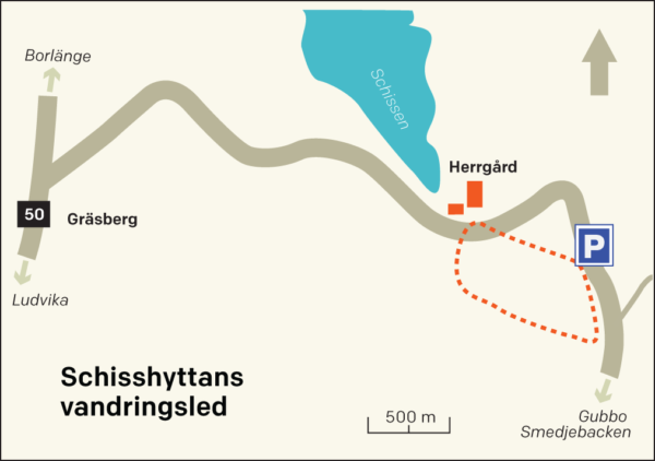
Schisshyttans vandringsled

  • Kommune: Smedjebacken
  • 6652.33 km fra deg
  • 4.0 km
  • Vanskelighetsgrad: Blå

Nice cultural trail to walk on your own. The trail follows Schisshyttebäcken and shows remains of the area's iron processing from the mid-17th century when the first blast furnace was built, until 1922 when the last smelter was closed. Most of the buildings…

Fotturer

Konnsjöleden

  • Kommune: Avesta
  • 6695.85 km fra deg
  • 4.0 km
  • 1 h
  • Vanskelighetsgrad: Grønn

Konnsjöleden is a 4 km long trail between Konnsjön and Bensåsen, right in the border area between Avesta and Hedemora municipalities. After a few kilometers of hiking, you will find the popular destination Erkers-Fars ort or Morfars ort, an approximately 80…

Fotturer

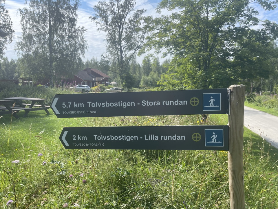
Tolvsbostigen - Stora Rundan

  • Kommune: Smedjebacken
  • 6673.36 km fra deg
  • 5.7 km
  • Vanskelighetsgrad: Blå

Hike in Tolvsbo with large forests, lakes, streams and cultural monuments. The hiking trail Tolvsbostigen - Stora rundan goes on cozy paths and old roads past Tolvsbo old cabin and Svarttjärn. At Svarttjärn there is a beautiful place to take a break. Along…

Fotturer

Stollbergs gruvområde vandringsslingor

  • Kommune: Smedjebacken
  • 6653.92 km fra deg
  • 2.5 km
  • Vanskelighetsgrad: Blå

Fina vandringsslingor kring Stollbergs gruvområde. Väster Silfberg, eller Stollbergs gruvfält, är 5 km långt och sträcker sig från Schisshyttan i norr till Silfhyttan i söder. Här finns fina rastmöjligheter och på bergets topp har föreningen Väster Silfberg…

Fotturer

Norsbergets runda

  • Kommune: Smedjebacken
  • 6653.91 km fra deg
  • 3.3 km
  • Vanskelighetsgrad: Blå

Hike in Harnäs with varied forest and with a fantastic view from Norsbergets klack. The hiking trail Norsbergets runda runs on cozy paths and old roads and along the trail there are nice opportunities to take a break and enjoy a snack. The best place to sta…

Fotturer

Malingsbo Campings Blå led

  • Kommune: Smedjebacken
  • 6672.68 km fra deg
  • 7.6 km
  • Vanskelighetsgrad: Blå

Hike in the Malingsbo-Kloten Ecopark area with large forests, lakes, ponds and streams. The hiking trail Malingsbo Camping BLUE trail, goes through Malingsbo-Kloten Ecopark. The best place to start and end your hike is at Malingsbo Camping, where parking is…

Fotturer

Malingsbo Campings Gul led

  • Kommune: Smedjebacken
  • 13.0 km
  • Vanskelighetsgrad: Blå

Hike in the Malingsbo-Kloten Ecopark area with large forests, lakes, ponds and streams. The hiking trail Malingsbo Camping GUL trail, goes through Malingsbo-Kloten Ecopark. The best place to start and end your hike is at Malingsbo Camping, where parking is…

Sykling

Dalhallarundan

  • Kommune: Rättvik
  • 6604.92 km fra deg
  • 26.0 km
  • Vanskelighetsgrad: Blå

**Welcome to cycle Sweden's first, by the Swedish Transport Administration approved, local recreational trail for bicycles! Dalhallarundan winds through the landscape via smaller asphalt, gravel roads and a shorter stretch via path. On your bike ride you pa…

Bästa rundslingorna för vandring i Dalarnas län

Naturkartan samlar de rundslingorna för vandring i Dalarnas län som är populärast bland våra användare.

Naturkartan

Åpne dette i appen