
-
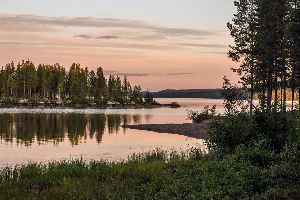
Foto: Ruslan Kalnitsky, Alamy Stock Photo, TT-bild -
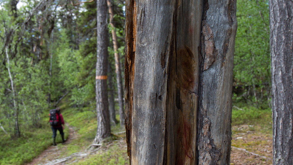
Foto: Elin-Anna Labba/Laponiatjuottjudus -
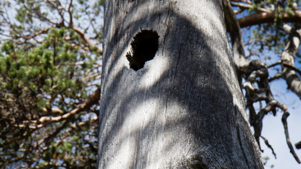
Foto: Elin-Anna Labba/Laponiatjuottjudus -
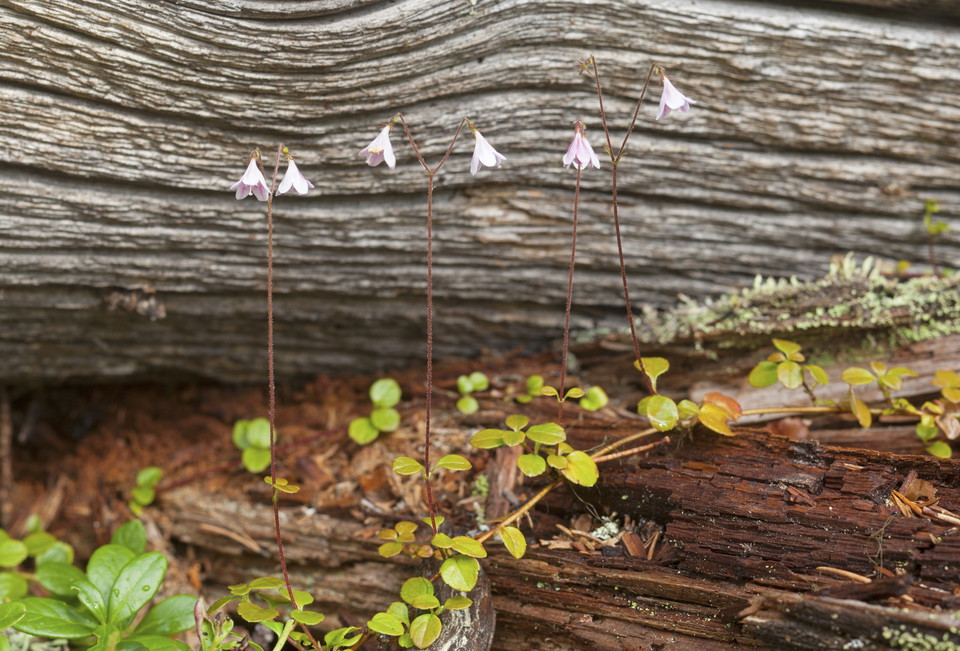
Foto: Bengt Ekman, TT-bild
Muddus/Muttos nationalpark
- Nasjonalpark
- Fylke: Norrbottens län
Handlinger
Beskrivelse
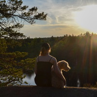
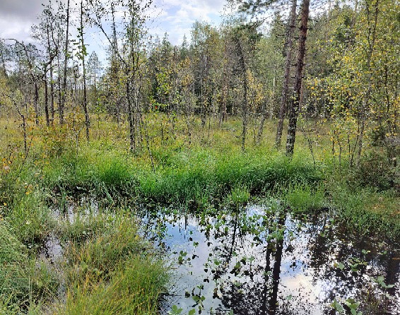
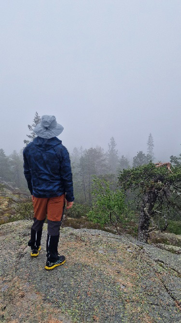
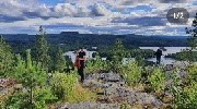
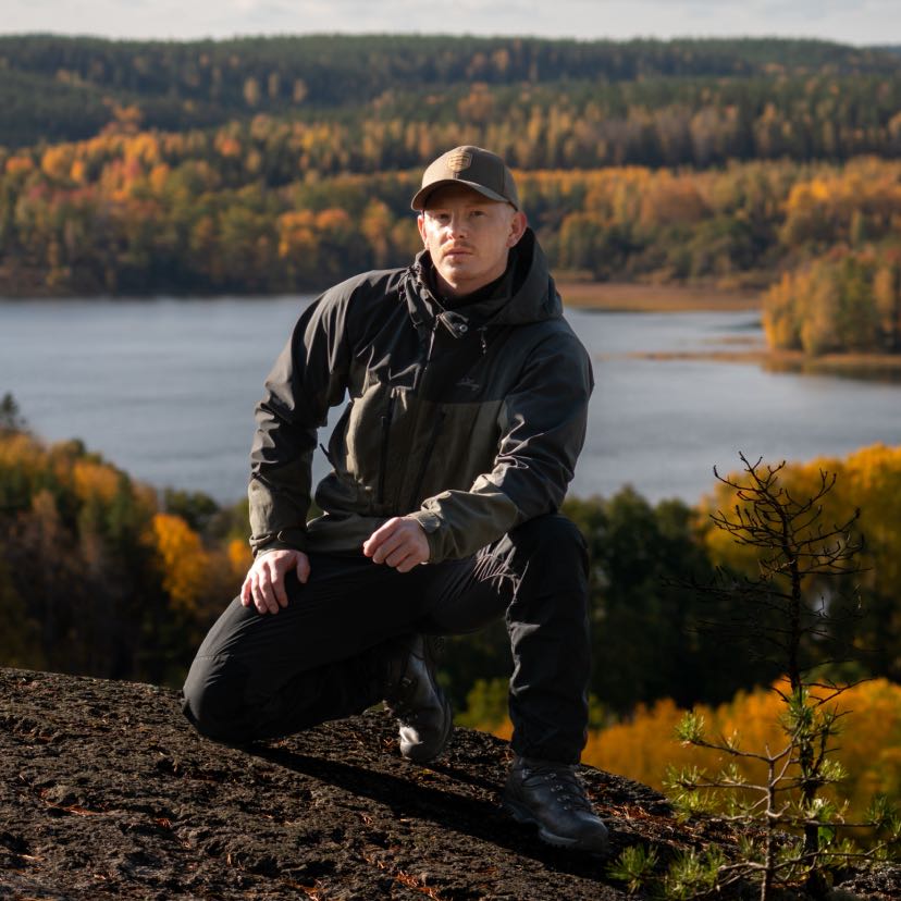
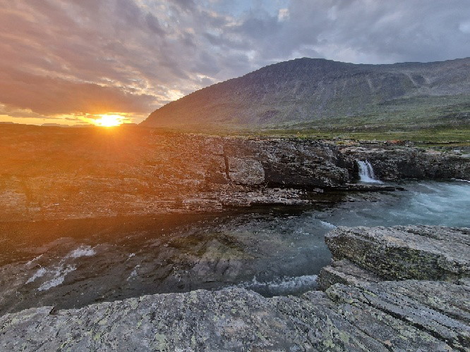
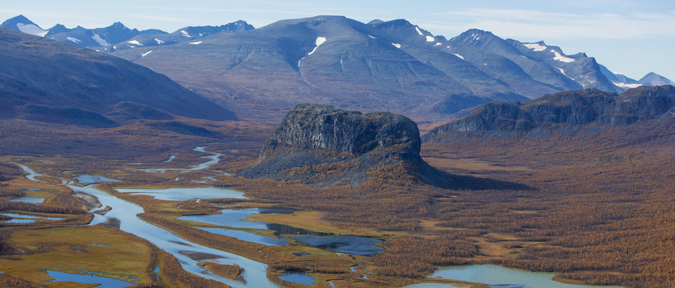
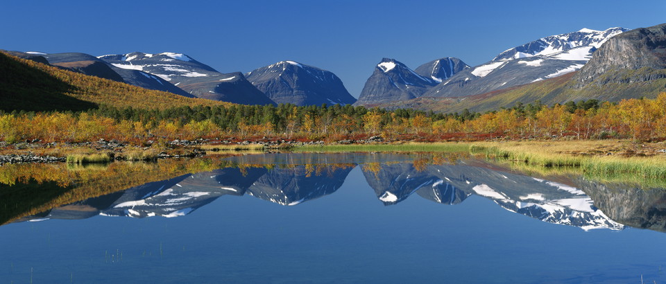
Muddus/Muttos Nationalpark is the land of vast mires and deep old-growth forests. It is known for its waterfalls, deep ravines, low mountains and forests where the trees have seen many generations of people pass by. In the Sámi language the word for large mire is “áhpe”. It also translates into ocean. Here you will meet many of them, mires that feel like oceans. When they are frozen during the winter they are perfect migration routes for both people and animals. But Muttos is perhaps best known for its ancient forests. You will find both age-old trees and young pines due to logging and forest fires.
In the southern parts the whole area slopes down towards the Stuor Julevädno River, and ten deep ravines cut through the great forests. The ancient paths follow ridges, which at times are the only places which one can travel. Discreet traces such as hearths and trapping pits show us that many have lived and walked here before us.
Aktiviteter og fasiliteter
- Nasjonalpark
Kommunikasjon
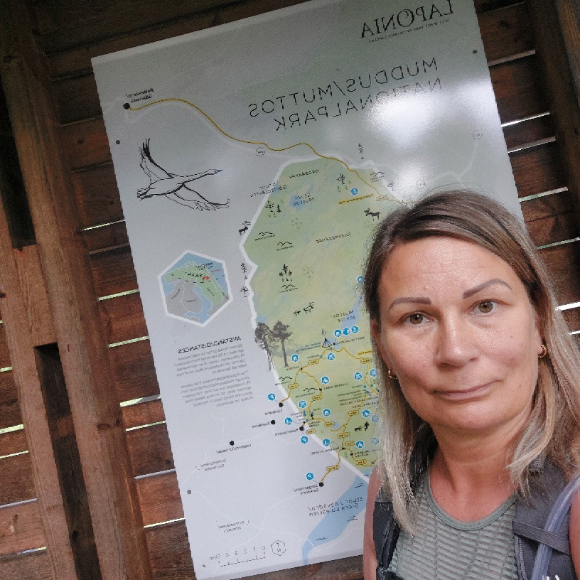
There are three entrances to Muddus/Muttos National park. The easiest way to get to Muddus is from the south. The Skájdde entrance is reached from road E45 at Ligga between Jokkmokk and Porjus. There is parking in Skájdde, and from there you can walk on boardwalks through the southern part of the park. You can also get to the park from the south-east through Sárggavárre (Sarkavare) and Urttimjávrre (Urtimjaur) located on the road to Miessávrre (Messaure).
Länstrafiken Norrbotten (bus and coach operator) Gällivare Turistcenter website Destination Jokkmokk website
Kontakt
E-postadresse
Länsstyrelsen Norrbotten
Organisasjonens logotype

Jeg har vært her 92









Jeg ønsker å dra hit 98










Spørsmål og svar
Still et spørsmål til andre brukere av Naturkartan.
Omtaler
6 anmeldelser
- 5 :
- 4 :
- 3 :
- 2 :
- 1 :
Hej linussjo och tack för din kommentar! Vi har skickat den vidare till Laponiaförvaltningen.
Brukernes bilder
Ingen brukerbilder ennå. Bli den første til å dele!




Fint och lättvandrat dock så är den östra delen av leden betydligt kämpigare än den västra. särskilt stigningen vid älven som kan vara en utmaning.