
-
-
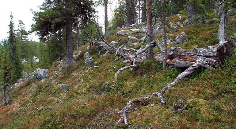
Gammelskog i Allejaure.
Foto: Länsstyrelsen Norrbotten -
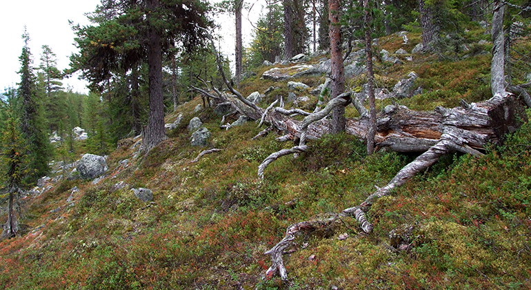
Gammelskog i Allejaure.
Foto: Länsstyrelsen Norrbotten -
Allejaure
- Naturreservat
- Fylke: Norrbottens län
Handlinger
Beskrivelse
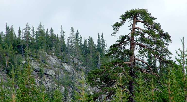
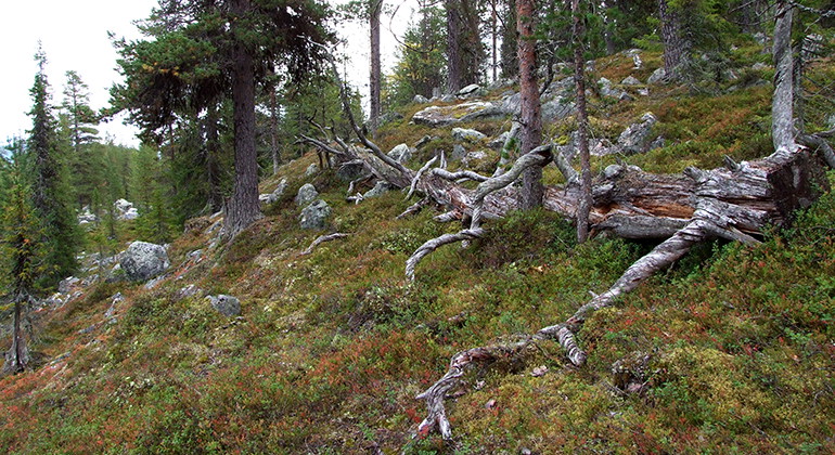
On the south side of Lake Allejaure, a small group of islands together with the steep, forested Hemberget mountain forms the nature reserve Allejaure. The mountain rises to about 610 metres above sea level, and from the summit there is a stunning view of the reserve and the surrounding landscape. The area is 2.3 square kilometres in size.
Aktiviteter og fasiliteter
- Naturreservat
Fakta
Municipality: Arjeplog
Year of formation: 2012
Size: 2.3 square kilometers
Administrator: County Administrative Board
Form of protection: Nature reserve
Kommunikasjon
Allejaure lies about 28 kilometres southeast of Arjeplog. No roads reach as far as the nature reserve. The nearest road ends about 500 metres west of the area, and may be in poor condition. After about a kilometre, this fairly rough road connects to a larger logging road, which ends at the Silver Road about 5 km north of the reserve. The easiest way to get down to the reserve in wintertime is on skis or by snowmobile via the lake from the Silver Road.
Veibeskrivelse
Allejaure is located approximately 28 kilometers southeast of Arjeplog. There are no roads that reach all the way to the nature reserve, but the nearest road ends about 500 meters west of the area. This rough road connects after about a kilometer to a larger forest road, which ends at Silvervägen about 5 kilometers north of the reserve. When the County Administrative Board visited the area in 2008, the forest roads in question were in very poor condition and hardly suitable for traffic with ordinary cars. However, it is possible that the larger road has been restored somewhat in recent years due to felling that has taken place along the road. The easiest way to get to the reserve in winter is by ski or snowmobile via the lake from Silvervägen.
Forskrifter
All regulations can be found in the reserve decision. It is permitted to: - hike - camp - pick berries and edible mushrooms - drive snowmobiles on well snow-covered ground - fish and hunt in accordance with applicable laws - make a small fire with your own wood and to a limited extent loose twigs and branches
It is not permitted to: - damage plant and animal life - drive jet skis - litter
Remember the right of public access and protect nature!
Kontakt
E-postadresse
Länsstyrelsen Norrbotten
Organisasjonens logotype

Jeg har vært her
Jeg ønsker å dra hit 1

Spørsmål og svar
Still et spørsmål til andre brukere av Naturkartan.
Omtaler
0 anmeldelser
- 5 :
- 4 :
- 3 :
- 2 :
- 1 :
Brukernes bilder
Ingen brukerbilder ennå. Bli den første til å dele!
