Barmarksled, Norra Kvill
- Kommune: Vimmerby
- 6802.16 km fra deg
- 2.5 km
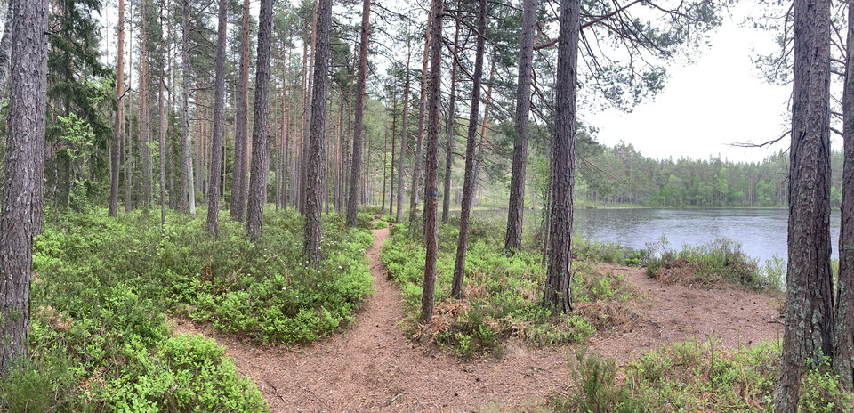
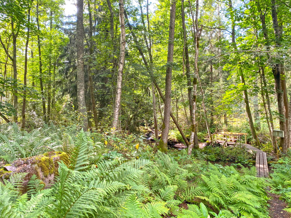
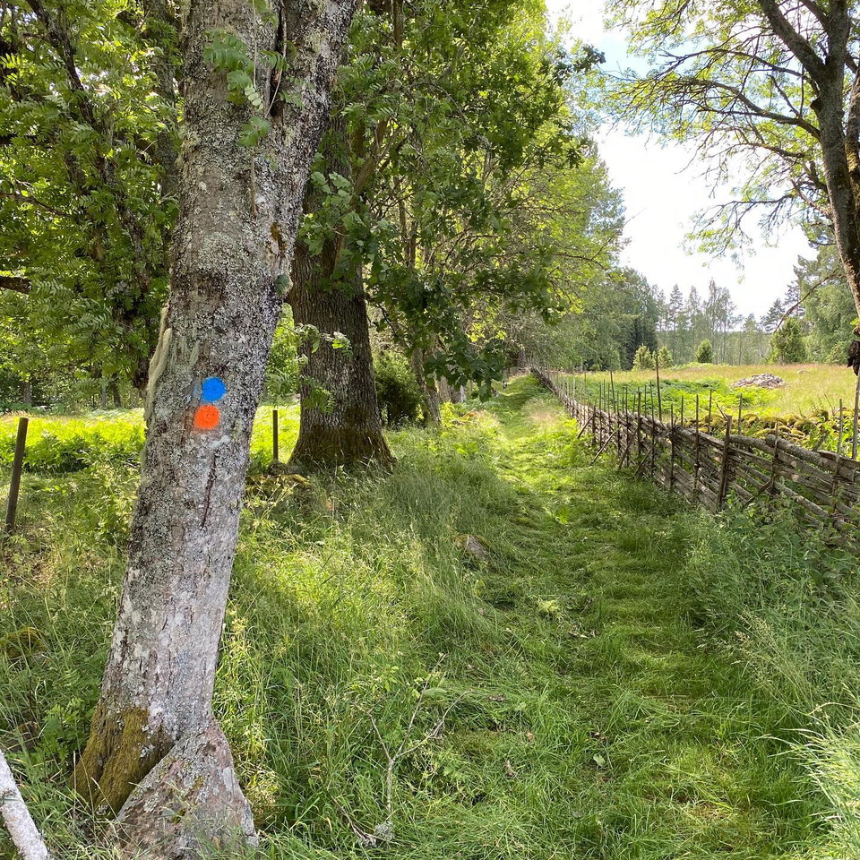
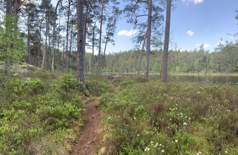
The trail takes you from the entrance, up to and around Stora Idgölen.

Vimmerby
Naturkarten samler de turstiene i Vimmerby som er mest populære blant våre brukere.
The trail takes you from the entrance, up to and around Stora Idgölen.
The longer hiking trail in the park. It goes from the entrance, via Stora Idgölen, up to Idhöjden and around Lilla Idgölen.
Djursdalarundan is an approximately 7 kilometer long hiking trail through varied nature rich in cultural heritage. It is aimed at the interested and exercising public. The hiking trail goes partly in hilly terrain and in several places there are information…
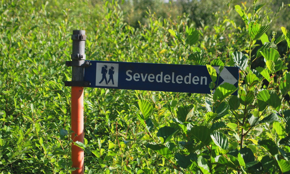
The Sevedeleden access road, which connects Östgötaleden and Sevedeleden, is 35 kilometers long, divided into two stages. Stage 5 Södra Kvill to Södra Vi is 17 km and part of the access road to Östgötaleden. In the village of Södra Kvill there is drinking w…
The Brantestad nature trail is 9.9 km long, but is divided into two loops, so you can choose to walk all or just part of it. It follows roads and paths in areas of natural interest between Brantestad, Stjärnevik, Ryggåsen and Lake Yxern. The route offers a…
Smé-åna is a trail rich in natural and cultural history that takes you on a journey through the history of Gullringen. The long loop stretches about 4.5 kilometers and the small loop 2.5 kilometers. Your journey begins from the Kvarndammen bathing area and…
The intermediate trail is 2.4 kilometers long at Ingebo Hagar, starting in the old road and continuing down along mixed forest that is carefully managed according to the continuity method. Along the stream you pass over, the not very common goldenrod grows…
Ingebo Hagar's newest hiking trail is 1.4 km and starts at the information board near the parking lot. The path down to the cold spring, which never runs out, has been hidden for over 70 years and has now been carefully cleared. A new fence has been built w…
The short 1.2 km trail is a great choice for families with children and all other adventure seekers! The trail starts from the village and leads down the old lane. You turn off and walk through a hazel grove and soon you arrive at the small stream that the…
The Sevedeleden is a 50-kilometer round loop and has orange markings, it runs in a scenic environment with access roads of 18 and 35 kilometers to and from Lönnebergaleden (+18 kilometers) and Östgötaleden (+35 kilometers). Stage 1, Mariannelund to Övrakull…
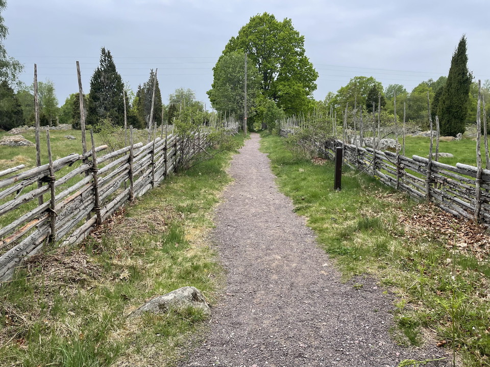
Accessible to ten people. Graveled with stone flour no height differences works for wheelchair. 1 meter wide. None
Naturkarten samler de turstiene i Vimmerby som er mest populære blant våre brukere.