Vandringsstig Isovaara
- Kommune: Övertorneå
- 6667.87 km fra deg
- 1.0 km
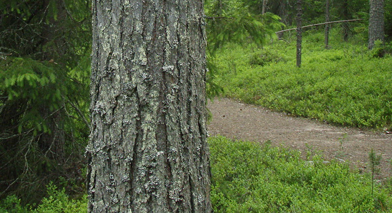
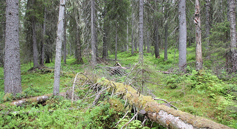
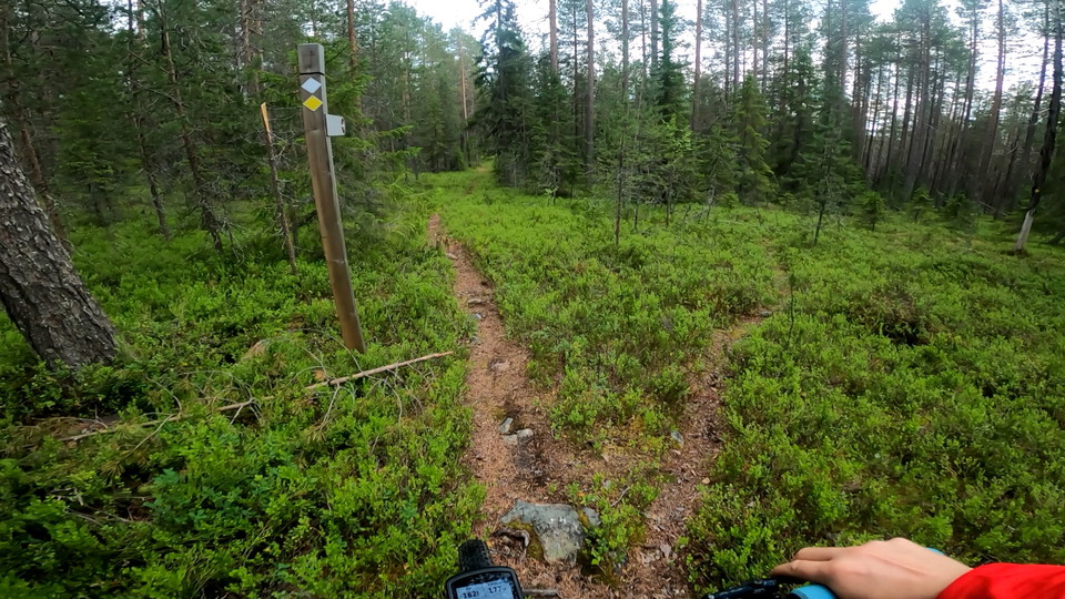
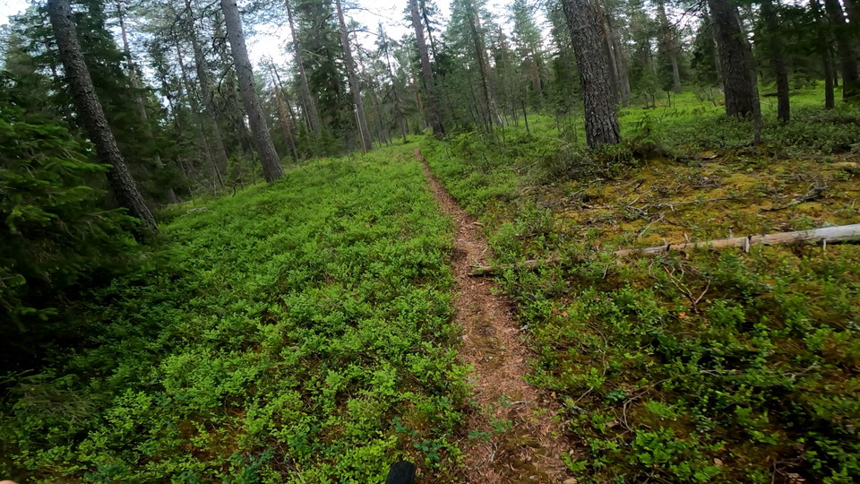
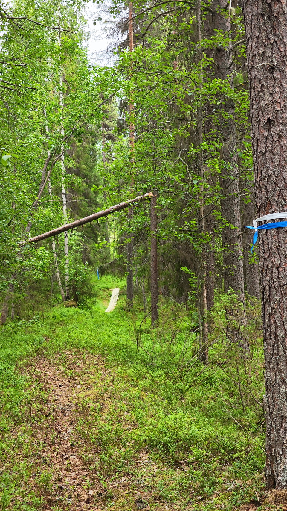
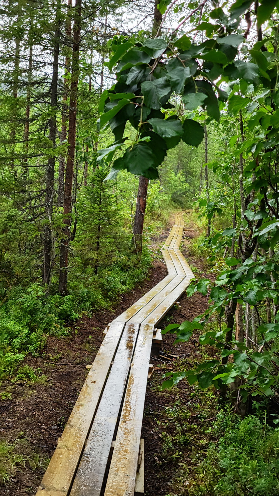
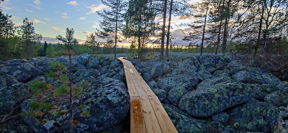
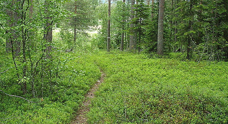
A 1 kilometre long trail in Isovaara, marked with yellow paint.

Övertorneå
Naturkarten samler de turstiene i Övertorneå som er mest populære blant våre brukere.
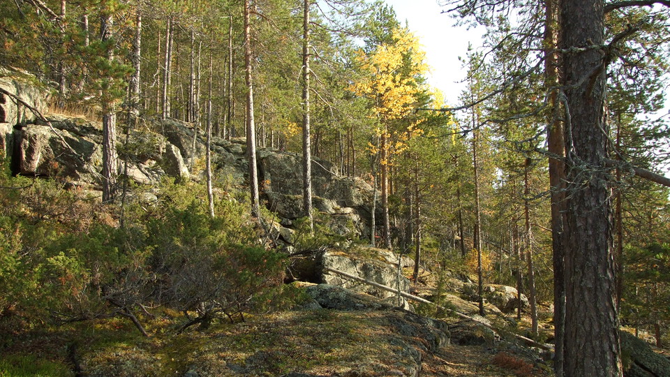
A 1 kilometre long trail in Isovaara, marked with yellow paint.
A 2.1 kilometres long, unmarked trail, that is an old dirt road.
A trail up to the mountain Jomotusvaara. The start is hard to find.
Isovaara Outdoor Area offers a diverse nature experience with its lighted trail adapted for skiing during the winter and running or hiking during the snow-free period. With four different trails of 1.5 km, 2.5 km, 2.8 km and 5 km, the area offers options fo…
Isovaara Friluftsområde erbjuder en mångsidig naturupplevelse med sitt elljusspår som anpassas för skidåkning under vintern och löpning eller vandring under den snöfria perioden. Med sina fyra olika slingor på 1,5 km, 2,5 km, 2,8 km och 5 km, erbjuder områd…
Cykel och vandringsleder byggda med ideella krafter från Armasjärvi byaförening. Stöd i form av material till främst spångbygge och broar har naturvårdsverket gett Lona stöd till. Grus och virke har Övertorneå Kommun sponsrat. Lederna går upp på kalottberge…
Luppioberget round is a nice loop for hiking, running and cycling. The terrain is fairly easy, but there are some heavier climbs that raise the heart rate. The loop is about 5 km long. The trail connects with Armasjärvi Luppio and Pikkupaljukka.
Bicycle and hiking trails built by volunteers from Armasjärvi village association. Lona has received support in the form of materials, mainly for building footbridges and bridges. Gravel and timber have been sponsored by Övertorneå Municipality. The trails…
Isovaara Outdoor Area offers a diverse nature experience with its lighted trail adapted for skiing during the winter and running or hiking during the snow-free period. With four different trails of 1.5 km, 2.5 km, 2.8 km and 5 km, the area offers options fo…
The 33 km long track along the scenic Torne River is perfect for walking, running and cycling in the summer, while the winter offers regularly groomed ski trails. The trail is flat and welcomes all ages and experience levels, with skiers and snowmobilers sh…
Naturkarten samler de turstiene i Övertorneå som er mest populære blant våre brukere.