
Beste turstier i Nässjö
Nässjö
Naturkarten samler de turstiene i Nässjö som er mest populære blant våre brukere.
Bilder
Kart
17 Beste turstier i Nässjö

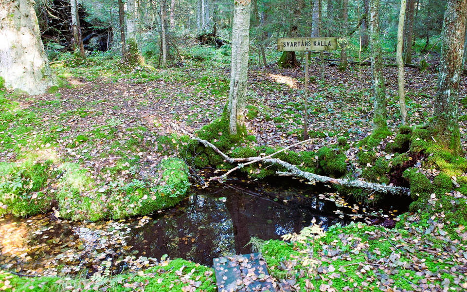
Höglandsleden etapp HÖ16 Lövhult - Ränneborg - En del av Smålandsleden
- Kommune: Nässjö
- 6765.39 km fra deg
- 24.1 km
- 6 t
- Vanskelighetsgrad: Blå
The 23.7 km route from Lövhult to Ränneborg in Eksjö offers a varied and scenic hike through Småland's magnificent highland nature. Lövhult, near Nässjö, offers an outdoor area with magical forests, pastures, rippling streams, exercise trails, camping, host…
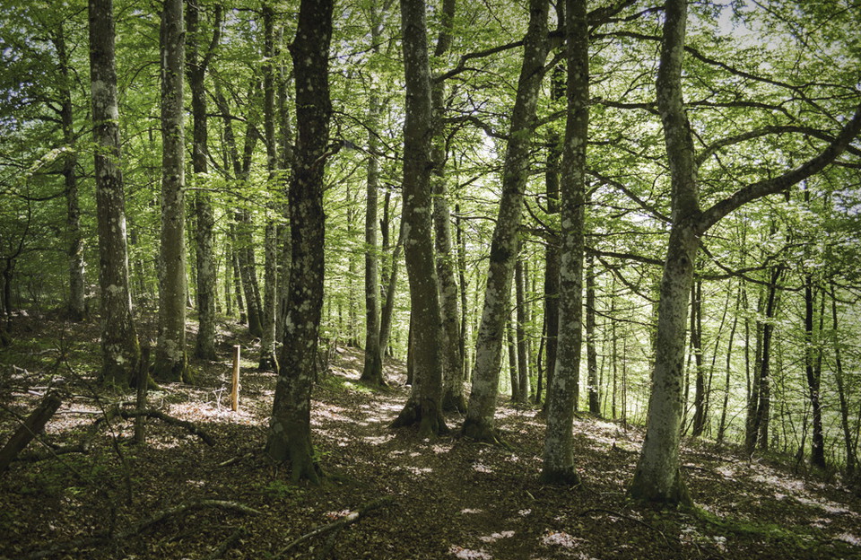
Höglandsleden etapp HÖ14 Forsa - Vikskvarn - En del av Smålandsleden
- Kommune: Nässjö
- 6763.92 km fra deg
- 12.0 km
- 3 t
- Vanskelighetsgrad: Blå
This 12 km hike takes you through varied forest landscapes with magnificent views and distinct seasons. Along the trail you pass Mattarp beech forest, nature's own pillar hall. At Vikskvarn you step into a bygone mill era. Of the old Vikskvarn only the ruin…
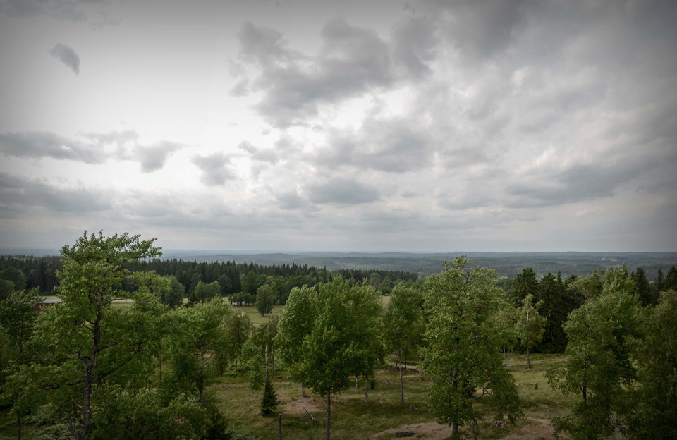
Höglandsleden etapp HÖ19 Tomtabacken - Hok - En del av Smålandsleden
- Kommune: Nässjö
- 6746.48 km fra deg
- 20.0 km
- 5 t
- Vanskelighetsgrad: Blå
Stage HÖ19 is about 20 km long and runs between Tomtabacken and Hok. At the eastern entrance to the stage is Tomtabacken, which at 377 meters above sea level is the highest point in Småland, the South Swedish Highlands and Götaland. There is a shelter, an…
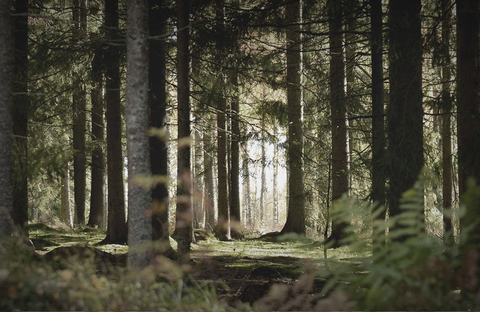
Höglandsleden etapp HÖ15 Vikskvarn - Lövhult - En del av Smålandsleden
- Kommune: Nässjö
- 6763.12 km fra deg
- 23.9 km
- 6 t
- Vanskelighetsgrad: Blå
The 23.9 km long stage offers many discoveries. In Vikskvarn you can see the remains of the old mill and the geologically interesting Almesåkra formation. If you start in Lövhult, a few kilometers from Nässjö railway station, you will come to an outdoor are…
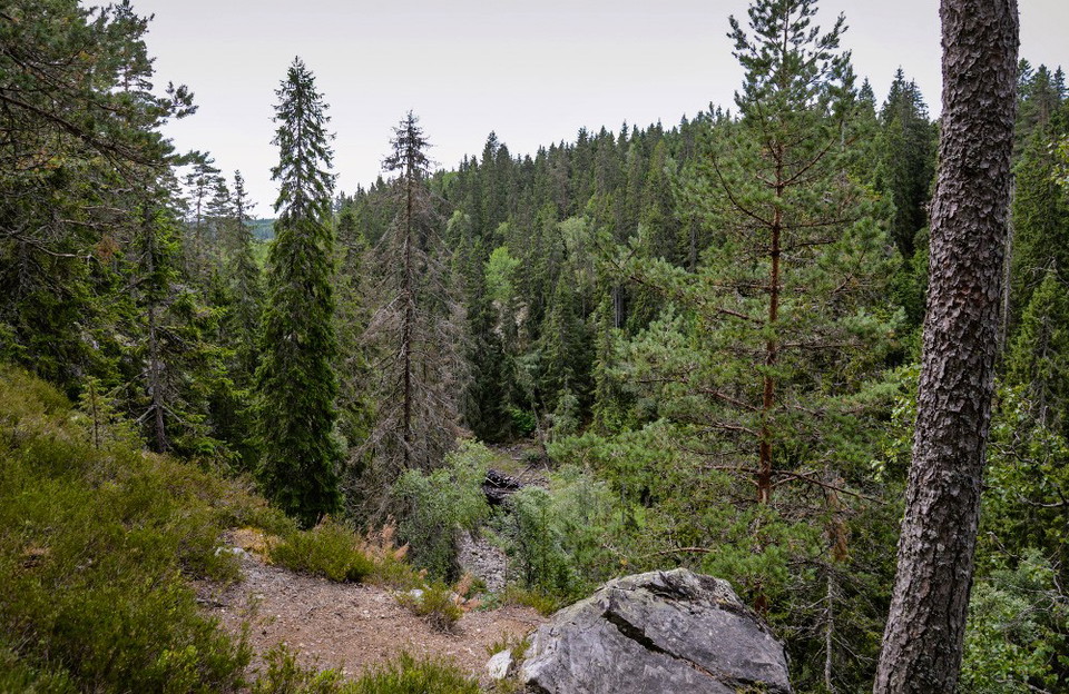
Höglandsleden etapp HÖ18 Vikskvarn -Tomtabacken - En del av Smålandsleden
- Kommune: Nässjö
- 6758.43 km fra deg
- 14.3 km
- 3 t 35 min
- Vanskelighetsgrad: Blå
The Höglandsleden trail in Nässjö offers magnificent views and distinct seasons, with snowy winters and starry nights. Three stages of the trail meet at Vikskvarn, where you can choose to walk south towards Forsa and eventually to Sävsjö and further along…
Höglandsleden
- Kommune: Nässjö
- 6763.58 km fra deg
- 2.4 km
Partially coincides with the blue-marked Vikskvarnssligan. Painted orange
Runt tv-masten
- Kommune: Nässjö
- 6760.82 km fra deg
- 6.9 km
The tour around the TV mast is very varied and you will see two of Nässjö's beautiful lakes, forest landscapes, open fields and pleasant residential areas. The road around the TV mast consists of a forest path and is thus most suitable for walking or runnin…
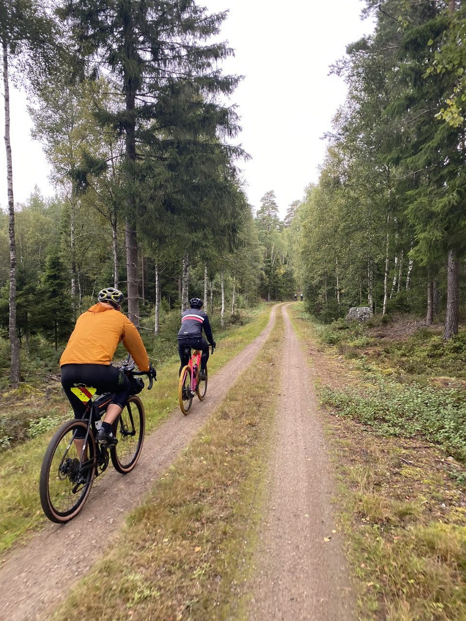
Träsländaturen
- Kommune: Nässjö
- 6760.48 km fra deg
- 6.0 km
- Vanskelighetsgrad: Grønn
Träsländaturen is a perfect tour for those who want to get out on winding forest roads and also see some open cultural landscape. The trail goes through tall spruce forest, but also past some farms where you can see sheep and horses grazing in the pastures.…
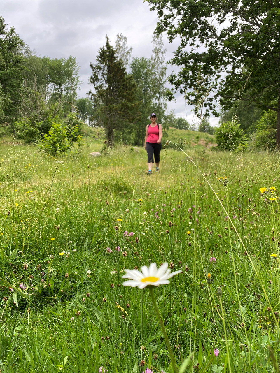
Brånavarvet
- Kommune: Nässjö
- 6763.28 km fra deg
- 7.2 km
Brånavarvet combines residential areas with spruce forest, open fields and a hay meadow. The tour also takes you past Sörängen Folk High School, a real Astrid Lindgren dream with its red buildings with white knots and, of course, a genuine Småland fence. Th…
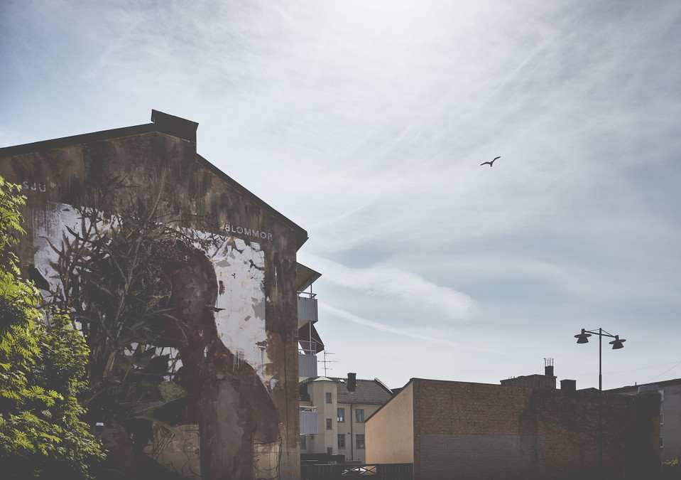
Centrumsvängen
- Kommune: Nässjö
- 6761.19 km fra deg
- 4.8 km
The Centrum Loop is the perfect route to experience both the city’s central buildings and the green, peaceful paths within town. The forest trail leading up to Brinell High School evokes the feeling of walking through a beautiful pine forest. You’ll then pa…
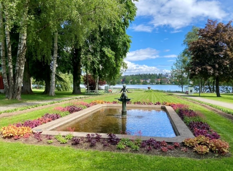
Promenaden runt Ingsbergssjön
- Kommune: Nässjö
- 6762.08 km fra deg
- 5.2 km
The walk around Lake Ingsbergssjön is probably the most popular walking route in the city. And it’s no wonder—here you’ll find Ingsbergssjön with its rich birdlife, as well as the lush greenery of the City Park. Take the opportunity to extend your walk to i…
Avstickare tegelindustri
- Kommune: Nässjö
- 6763.69 km fra deg
- 0.1 km
A detour of 50 m (one-way) leads to a brick industry ruin. Type Hiking trail Difficulty level Medium difficulty Surface Forest path
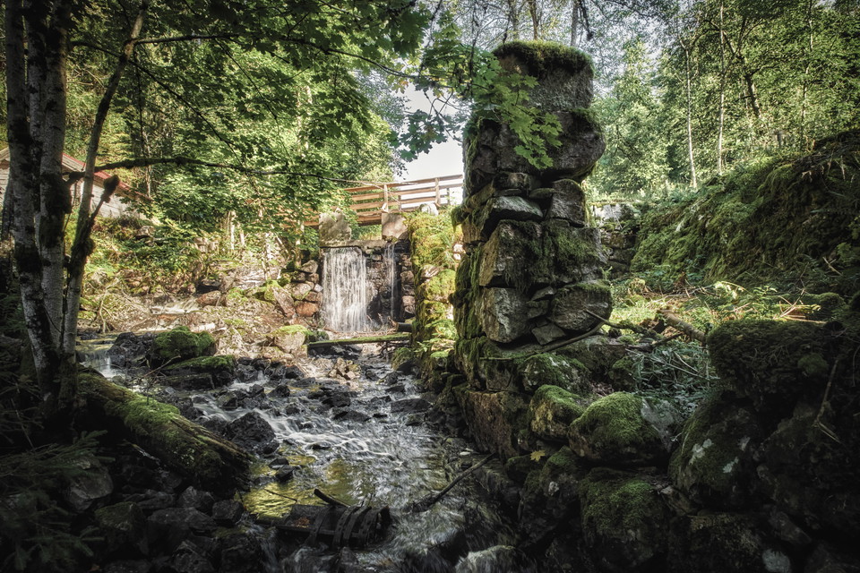
Vandringsled, Vikskvarn
- Kommune: Nässjö
- 6763.87 km fra deg
- 2.0 km
Vikskvarn is magnificent and varied, with great natural, cultural, and geological value. It is a popular outdoor recreation area with plenty of facilities to make your stay easier. The Smålandsleden trail passes through the nature reserve, and there is also…
Beste turstier i Nässjö
Naturkarten samler de turstiene i Nässjö som er mest populære blant våre brukere.
