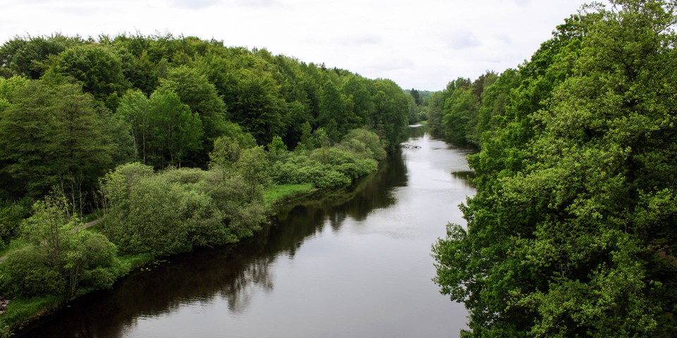
Beste turstier i Karlshamn

Karlshamn

Naturkarten samler de turstiene i Karlshamn som er mest populære blant våre brukere.

Bilder

Kart

43 Beste turstier i Karlshamn

Fotturer

Eriksbergsleden

  • Kommune: Karlshamn
  • 6859.34 km fra deg
  • 12.2 km
  • Vanskelighetsgrad: Rød

Eriksbergsleden Eriksbergsleden er en av de vakreste og mest utfordrende turstiene i Blekinge. Den byr på fantastiske utsikter over kysten og havet. Langs veien passerer du eik-, bøk- og furuskog. Stien går nær Eriksberg Vilt- og Naturpark, og siden stien f…

Fotturer

Vandringsrundor Stärnö-Boöns naturreservat

  • Kommune: Karlshamn
  • 6853.19 km fra deg
  • 7.7 km

Easily accessible trails through the Sternö-Boön nature reserve with several circuits to choose from. “Stärnö runt” is about 4.5 km and there is a shorter child-friendly version too (with signs). The circular walks offer stunning views of the sea and the is…

Fotturer

07 Långasjönäs - Persgärde | Blekingeleden

  • Kommune: Karlshamn
  • 6848.98 km fra deg
  • 14.2 km
  • Vanskelighetsgrad: Blå

Through a forested landscape of meandering lakes and rivers, the trail starts to head towards the sea. From the beautiful bays of Bruksgylet lake in Nötabråne round to the plummeting depths of the Gamslebäcken river and the wetlands between the two Kroksjö…

Fotturer

06 Mörrumsån - Långasjönäs | Blekingeleden

  • Kommune: Karlshamn
  • 6840.01 km fra deg
  • 19.5 km
  • Vanskelighetsgrad: Grønn

*From the bubbling water of the Mörrumsån river to the network of lakes and ponds in the forested landscape. Blekingeleden leaves the Mörrumsån river and takes you straight into the heart of Karlshamn, to the lakes, fields and peaceful little ponds where th…

Fotturer

05 Tulseboda Brunnspark - Mörrumsån | Blekingeleden

  • Kommune: Karlshamn
  • 6828.49 km fra deg
  • 17.5 km
  • Vanskelighetsgrad: Grønn

Leave the lovely forested park surrounding the houses built in Kyrkhult’s spa heyday and walk east through easy woodland terrain with excellent sightlines and plenty of mushrooms. On reaching the rushing water of the Mörrumsån river, the trail heads south t…

Fotturer

Barmarksled, Tjärö

  • Kommune: Karlshamn
  • 6862.39 km fra deg
  • 3.7 km

Tjärö is a nature reserve in a beautiful landscape. There is a restaurant and café, and accommodation too if you want to stay the night. The walk runs through woodland along the rocky shoreline. There are plenty of places to stop or light a barbecue along t…

Fotturer

Laxaleden längs Mörrumsån nära Karlshamn

  • Kommune: Karlshamn
  • 6832.22 km fra deg
  • 30.0 km
  • Vanskelighetsgrad: Rød

A historical walk that takes you through several nature reserves, follows the Mörrumsån from its outlet in the Baltic Sea, all the way up to Småland's border. Mörrumsån is Blekinge's largest watercourse and one of Sweden's most species-rich watercourses wit…

Fotturer

Strandpromenaden

  • Kommune: Karlshamn
  • 6853.77 km fra deg
  • 2.1 km

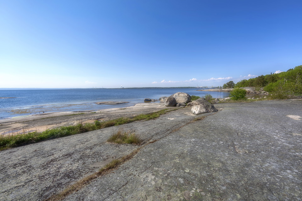
A short walk through deciduous and coniferous woodland beside the sea with views over to Kastellet and the harbour entrance. The trail passes the water park Vägga Havsbad and there are plenty of places to stop for a rest or a barbecue along the way.

Fotturer

Vandringsled Laxaleden syd

  • Kommune: Karlshamn
  • 6845.85 km fra deg
  • 3.6 km
  • Vanskelighetsgrad: Grønn

A walk that follows the Mörrumsån river, apart from at the south end where it runs through farmland. It passes the historic site of Elleholm and Mörrums Kronolaxfiske (read more via the links on the map). Marked in blue all the way. There are fewer signpost…

Fotturer

Barmarksled, Stilleryd

  • Kommune: Karlshamn
  • 6849.96 km fra deg
  • 1.6 km

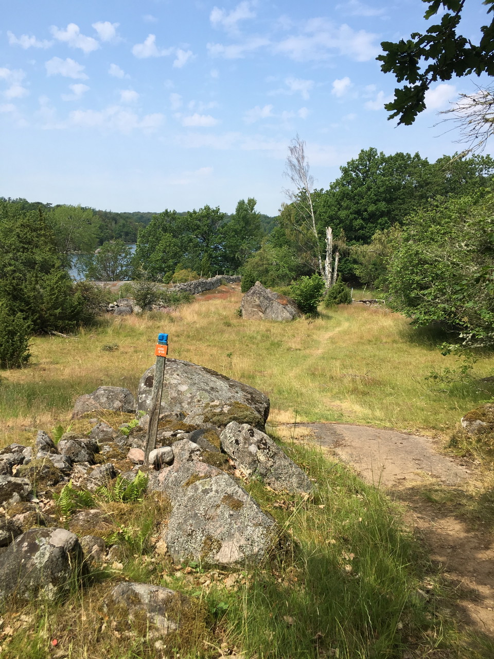
A varied walk over rocks and an old quarry, and through pasture with stands of oak. The trail is marked on posts in blue.

Fotturer

Barmarksled, Tärnö II

  • Kommune: Karlshamn
  • 6860.71 km fra deg
  • 5.4 km

A pleasant circular walk round Tärnö, the biggest and outermost (southernmost) island in the Hällaryd archipelago in Karlshamn. The island has about 40 properties varying in age, most of them only inhabited in the summer. The island used to be a thriving co…

Fotturer

Kalvenrundan

  • Kommune: Karlshamn
  • 6863.00 km fra deg
  • 1.6 km

To find Kalvenleden, go behind the reception building at Tjärö. Cross a smaller hill and walk up to a gate. Go through the gate and follow the path in the direction of the bridge over the canal. Go over the bridge. This is where the circular loop around Kal…

Fotturer

Vandra Eriksbergsleden med Guide- ÄlskaVår

  • Kommune: Karlshamn
  • 6859.95 km fra deg

At Eriksberg, during ARK56 Älska Höst, you have the opportunity to hike on your own in the beech forest by the sea along the scenic Kohageleden which starts in the parking lot next to our shop and entrance building "Outdoor Eriksberg". There is the opportun…

Fotturer

Mörrums Kulturslinga

  • Kommune: Karlshamn
  • 6845.80 km fra deg
  • 2.0 km
  • 1 t 30 min
  • Vanskelighetsgrad: Grønn

Experience nature and cultural history along the beautiful Mörrum River.The approximately 2 km long Cultural Walk starts at Laxens Hus and takes you on a journey through Mörrum’s rich history, fishing traditions, and biodiversity. Along the way, 13 signs sh…

Fotturer

Stärnö runt

  • Kommune: Karlshamn
  • 6853.11 km fra deg
  • 4.7 km

Peninsula southwest of Karlshamn. Stärnö is a large peninsula southwest of the center of Karlshamn and a popular hiking area with what many people think is the municipality's best swimming spot. During the summer there is also an outdoor restaurant. On balm…

Beste turstier i Karlshamn

Naturkarten samler de turstiene i Karlshamn som er mest populære blant våre brukere.

Naturkartan

Åpne dette i appen