

Skogsbostigen
- Fotturer
- Terrengløping
- Parkering i nærheten
- Fylke: Hallands län
- 6680.21 km fra deg
Detaljer om stien
- Lengde 5.4 km
Handlinger
Beskrivelse
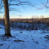
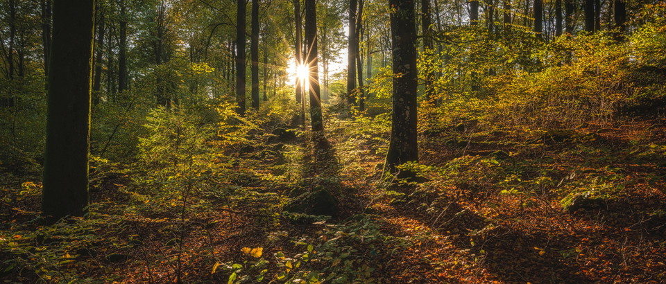
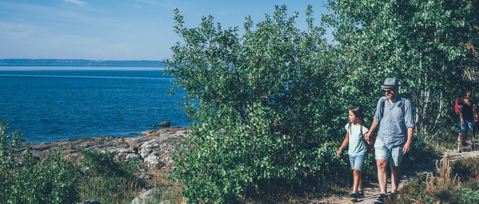
**With its 255 hectares, Skogsbo is the largest nature reserve within Åkulla beech forests. The backbone of the reserve consists of six rock outcrops. Five of these are passed on the trail, which has a total climb of 250 m. The slopes require some effort, but the hiker is rewarded with breathtaking views of the deciduous forest-clad mountains and Lake Byasjön.
It has been difficult to carry out any rational forestry on the steep slopes, which is why Skogsbo has the largest collection of red-listed species in the entire Åkulla area, 44 in all. They consist mainly of mosses and lichens that grow on the often gnarled and multi-stemmed beech trees, which were probably heavily tamed at the time when there were grazing cattle in the forests. The reserve is also home to birds such as wood pigeons, pied flycatchers, nuthatches and woodpeckers. The nuthatch has stashes of hazelnuts that it can even dive through thick snow to get to.
A detour from the trail leads to Holma Island, where you can see the foundations of the medieval Truedsholm castle. The path follows the old road bank to two well-preserved house foundations.
Please note that cycling is prohibited on Skogsbostigen.
Aktiviteter og fasiliteter
- Fotturer
- Terrengløping
Tilgjengelighet
- Parkering i nærheten
Parkering
There are two parking lots adjacent to this trail, one at Hiaklitten in the north and one closer to Ästad. Both are marked on the map.
Veibeskrivelse
The trail starts at the nature reserve parking lot at Hiaklitten.
Kontakt
Adresse
Kontakta reservatsförvaltningen för frågor, synpunkter och felanmälan.
E-postadresse
Länsstyrelsen i Hallands län
Organisasjonens logotype

Jeg har vært her 82










Jeg ønsker å dra hit 57







Spørsmål og svar
Still et spørsmål til andre brukere av Naturkartan.
Omtaler
Brukernes bilder
Ingen brukerbilder ennå. Bli den første til å dele!




jättefint och relativt populärt så åk tidigt för att hitta parkering. mycket varierande terräng med branta backar. :)