Bästa mountainbikelederna i Örebro län

Örebro län

Naturkartan samlar de mountainbikeleder i Örebro län som är populärast bland våra användare.

Bilder

Kart

21 Bästa mountainbikelederna i Örebro län

Terrengsykling

Junker Jägares stig

  • Kommune: Laxå
  • 6696.22 km fra deg
  • 10.0 km
  • Vanskelighetsgrad: Rød

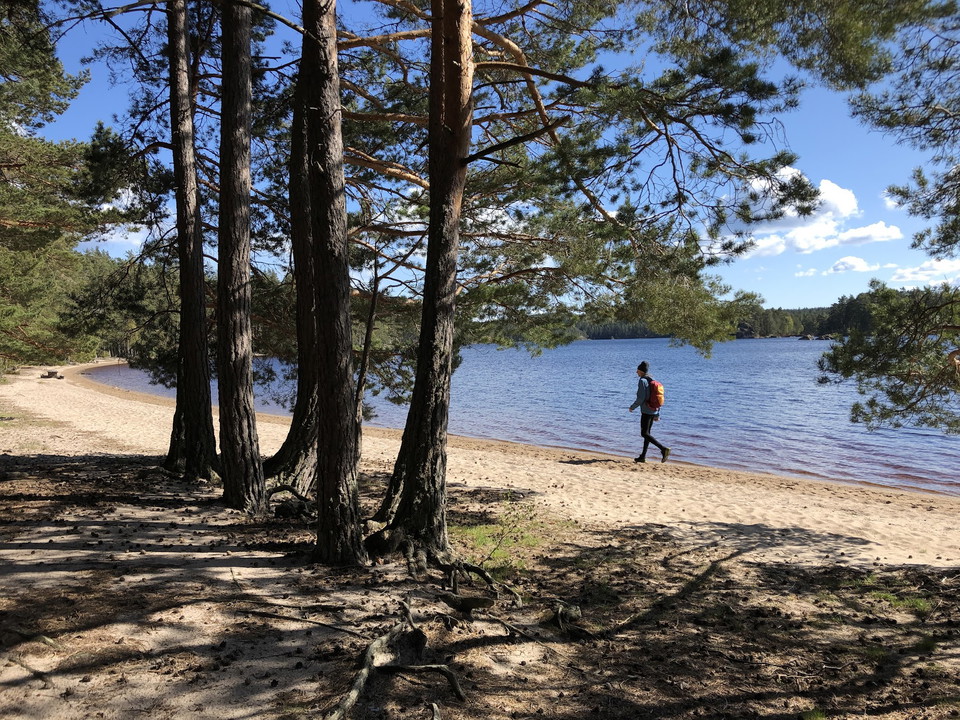
Following this trail, you pass by Junker Jägares sten, one of Tivedens biggest boulders, as well as Vitsand, the beautiful sandy beach of the national park. The tour starts with a demanding and steep forest path. The way back is clearly easier on mostly pla…

Terrengsykling

Adrenalin -MTB

  • Kommune: Örebro
  • 6680.85 km fra deg
  • 26.1 km

This trail connects to the transportation trail towards Lekeberg. The trail starts together with several other trails and turns directly left from the start and runs parallel to the campsite. Easy path at the beginning and later forest road and more lovely…

Terrengsykling

Fagertärnsturen

  • Kommune: Laxå
  • 28.0 km
  • Vanskelighetsgrad: Blå

A wonderful daytrip that passes by 9 lakes, the nature reserve of Fagertärn with its red water lilies and the open-air museum Dammtorp. Long parts of gravel road mixed with partly demanding forest paths. The first part of the tour leads among the walking tr…

Terrengsykling

Klockan -MTB

  • Kommune: Örebro
  • 6682.39 km fra deg
  • 35.5 km

Wonderfully entertaining trail that takes you down Kilsbergen and along its slopes. The nature is varied and sometimes dramatic and changes between dark spruce forest to light green hazel groves. Difficulty level: Red Length: 31 km Vertical meters: 540 m Si…

Terrengsykling

Utkiken -MTB

  • Kommune: Örebro
  • 6683.02 km fra deg
  • 3.3 km

This is a trail for the new and the youngest. You are rewarded with an expansive view of Närkeslätten. Difficulty level: Green Length: 3 km Vertical meters: 68 m Signposted: Green, MTB 6

Terrengsykling

Ruskiga rusan -MTB

  • Kommune: Örebro
  • 6680.90 km fra deg
  • 37.6 km

Ruskiga Rusan, is just as the name says, a tough one. It includes the infamous Monsterbacken 1, which is a long and steep climb up to Rusakulan. It's named after local cyclists who have struggled up the hill. But the struggle is worth it, because once at th…

Terrengsykling

Sjöspetsen -MTB

  • Kommune: Örebro
  • 6681.50 km fra deg
  • 8.5 km

This trail is technically easy but has a slightly heavier finish than Utkiken. Difficulty level: Green Length: 9 km Vertical meters: 135 m Signposted: Green, MTB 7

Terrengsykling

Grusrally -MTB

  • Kommune: Örebro
  • 6681.33 km fra deg
  • 19.0 km

A technically light trail that consists of 95% gravel. Perfect for those who want to train fitness more than technique. It offers many altitude meters in a short distance. Difficulty level: Blue Length: 17 km Vertical meters: 258 m Signposted: Blue, MTB 8

Terrengsykling

Absolut svart -MTB

  • Kommune: Örebro
  • 6679.98 km fra deg
  • 32.7 km

The trail is more physically demanding than technically difficult. It is guaranteed to give you tired legs but as a reward awaits the nice lookout at Kilsbergsstugan and varied, beautiful nature with clear traces of the inland ice. Difficulty level: Black L…

Terrengsykling

Skogsstigen

  • Kommune: Laxå
  • 6696.40 km fra deg
  • 4.0 km
  • Vanskelighetsgrad: Rød

Half of this trail is a technical path. You pass by several of the old cottages of the village of Tivedstorp. Through out the forest you will find beautiful stone cairns and stonewalls that sparks the imagination as to how the surroundings once looked when…

Terrengsykling

Långis -MTB

  • Kommune: Örebro
  • 6682.00 km fra deg
  • 12.0 km

Black 4 offers a challenge both technically and physically. Study the map carefully before setting off. The trail turns off a gravel road that leads downhill. Here it is easy to miss the sign pointing left. A tough and technical downhill awaits in the fores…

Terrengsykling

MTB Markaskogen Svart

  • Kommune: Örebro
  • 6703.45 km fra deg
  • 5.0 km
  • Vanskelighetsgrad: Svart

MTB trail that runs on trails in Markaskogen. Start at Ljungstugan.

Terrengsykling

Genvägen

  • Kommune: Laxå
  • 6700.71 km fra deg
  • 3.0 km
  • Vanskelighetsgrad: Grønn

With this shortcut you can combine the two circuits Tjäderturen and Fagertärnsturen as you like. It's a nice way to reach the eastern parts of the national park from Fagertärn or to go from the national park to visit the nature reserve of Fagertärn.

Terrengsykling

Kyrkstigarna

  • Kommune: Laxå
  • 6694.07 km fra deg
  • 12.0 km
  • Vanskelighetsgrad: Svart

Here you are biking on parts of two church paths which were used to walk from the villages Tivedstorp and Åboholm down to the church in Sannerud. This is Tivedens most fun and most demanding trail which is partly very steep. Take it easy, the path is very n…

Bästa mountainbikelederna i Örebro län

Naturkartan samlar de mountainbikeleder i Örebro län som är populärast bland våra användare.

Naturkartan

Åpne dette i appen
