Gå

Norrbottens län

Bilder

Kart

42 Gå

Gå

Hälsans Stig - Kiruna

  • Kommune: Kiruna
  • 6458.77 km fra deg
  • 7.6 km
  • Vanskelighetsgrad: Blå

The Path of Health - exercise for everyone. The first Slí na Sláinte was established in Ireland in 1995 by the Irish Heart Foundation. Slí na Sláinte means "the path to health" and aims to promote exercise for all, at all ages and to prevent cardiovascular…

Gå

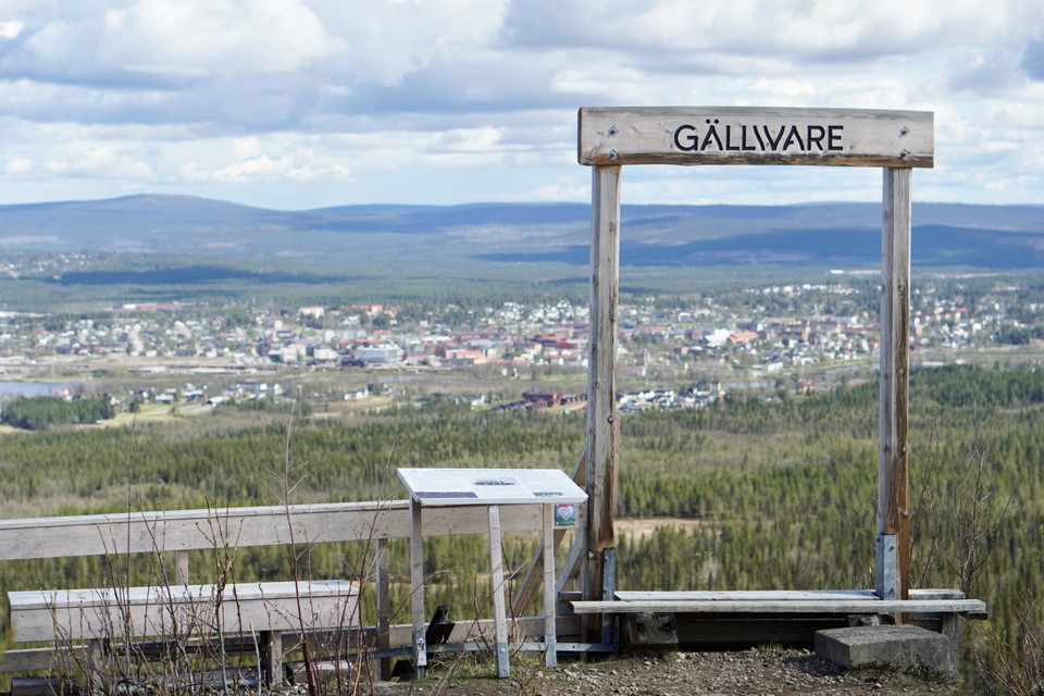
Hälsoslingan Åke på Toppen

  • Kommune: Gällivare
  • 6511.71 km fra deg
  • 1.5 km
  • 20 min
  • Vanskelighetsgrad: Grønn

This trail starts from the parking lot along 5:ans väg and extends 1.5 kilometers up to Dundret's highest peak - Åke på toppen. The trail is flat, graveled, smooth and handicapped accessible, making it accessible for wheelchairs, strollers and anyone who wa…

Gå

Hälsoslingan Nuolajärvi

  • Kommune: Gällivare
  • 6513.93 km fra deg
  • 2.0 km
  • Vanskelighetsgrad: Grønn

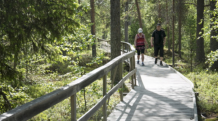
Nuolajärvi offers fine and easily accessible nature experiences despite being only a few kilometers from Gällivare center. The health trail runs mostly on an accessible path around the lake. The path follows the shore over a pine forest-covered bog. There a…

Gå

Backhopparbacken

  • Kommune: Gällivare
  • 6512.15 km fra deg
  • 0.5 km
  • 10 min
  • Vanskelighetsgrad: Rød

This hike takes you up 539 steps along the classic ski jump slope at Dundret. The hill, a natural slope built in 1990 during the time of Jan "Janne" Boklöv, quickly became a favorite among the national teams thanks to its excellent jumping characteristics.…

Gå

Hälsoslingan Älvpromenaden

  • Kommune: Gällivare
  • 6511.45 km fra deg
  • 6.4 km
  • Vanskelighetsgrad: Grønn

Along the river in Gällivare there is a nice walking trail. It is possible to walk all the way from the hospital to Sandviken bathing place. If you want to walk shorter, you can choose to just walk back and forth part of the way. Along the trail there are s…

Gå

Särkijärvirundan Sommarled

  • Kommune: Övertorneå
  • 6666.19 km fra deg
  • 3.5 km

Ekoparksståket särkijärvi around 3.6 km circular loop that follows the walking path that follows the lake edge of Lake Särkijärvi. There are 3 barbecue areas adjacent to the walking trail with a barbecue ring and firewood. There is also a bird tower you can…

Gå

Hälsoslingan Lilla lasarettsrundan

  • Kommune: Gällivare
  • 6514.21 km fra deg
  • 0.22 km
  • Vanskelighetsgrad: Grønn

There are two health loops in connection with Gällivare Hospital. There is a short green loop and a longer blue loop. The blue health loop is described in another document. The green health loop also works for those who can only walk very short distances as…

Gå

Hälsoslingan Djävulsklyftan

  • Kommune: Gällivare
  • 6513.61 km fra deg
  • 6.3 km
  • Vanskelighetsgrad: Rød

The Devil's Gorge hike is quite long and at times it is physically challenging on the rocky slopes. But you will be rewarded with beautiful views of the gorge. The forest is an older heath pine forest with a lot of hanging lichen and traces of fires in old…

Gå

Strandpromenaden

  • Kommune: Överkalix
  • 6640.48 km fra deg
  • 3.5 km

The central Strandpromenaden is not just a beautiful walking path along the water, along the way you will also find an array of great activities. A jumping pillow, a skate park, an outdoor gym/obstacle course, a beach volleyball court and a boules court are…

Gå

Vaukaleden

  • 6462.86 km fra deg
  • 2.8 km
  • Vanskelighetsgrad: Grønn

Vackra Vaukaleden ligger centralt i Arjeplog. En två kilometer lättvandrad led för färd till fots eller på hjul eftersom området är spångat och anpassat för rullstolsburna. Här finns broar, fiskeramper och vindskydd med grillplatser, ved och dass. Hela Vauk…

Gå

Åsarna och Rapatjärn

  • 6457.48 km fra deg
  • 4 km
  • Vanskelighetsgrad: Grønn

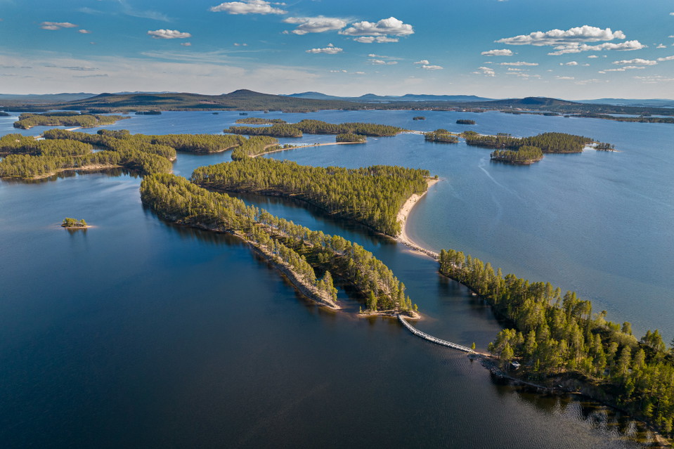
Åsarna och Rapatjärn erbjuder ett spännande landskap med spår av stenålderns jägarfolk. Åsarna är en smal landtunga som sträcker sig ut i Hornavan. Intill Rapatjärnen finns en tillgänglighetsanpassad spång. Ett system av torra sandåsar sträcker sig ut i H…

Gå

Hälsoslingan Nuolajärvi

  • Kommune: Gällivare
  • 6513.92 km fra deg
  • 2.0 km
  • Vanskelighetsgrad: Grønn

Nuolajärvi offers great and easily accessible nature experiences even though it is only a few kilometers from Gällivare center. The health trail runs mostly on an accessible path around the lake. The path follows the shore over a pine forest-covered bog. Th…

Gå

Kelvaleden-Dundret

  • Kommune: Gällivare
  • 6506.88 km fra deg
  • 3.8 km
  • Vanskelighetsgrad: Grønn

Summer led

Naturkartan

Åpne dette i appen