
ARK56 - Blekinges länkade kustleder
Länkade kustleder i ett Unesco biosfärområde

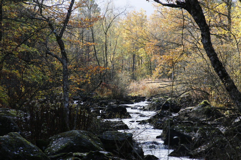
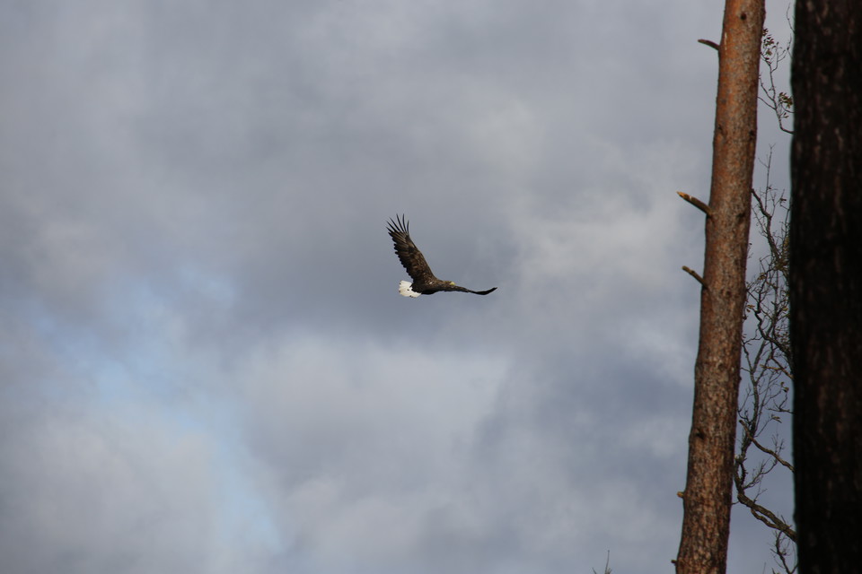
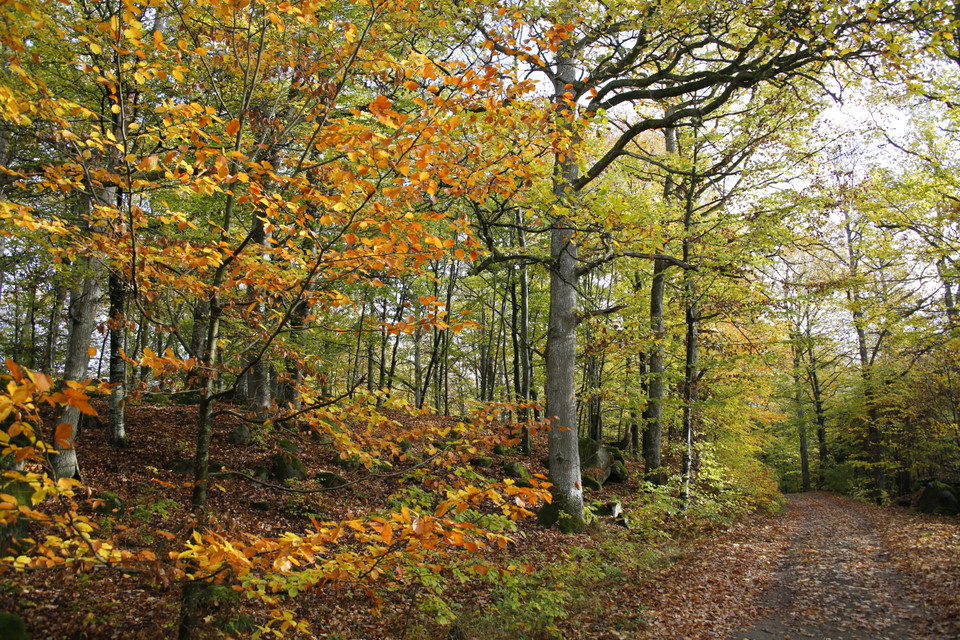
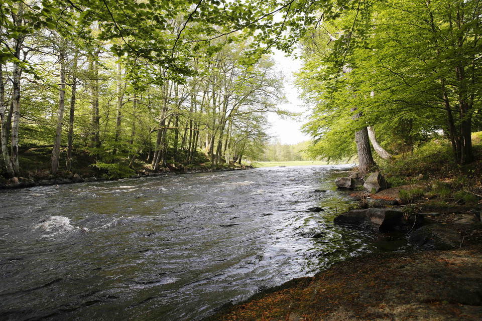
A lovely walk through varied woodland with running water, imposing beechwoods and working farms. Appreciate the beautiful varied character of the Lyckebyån river and the mixed woodland of the forested landscape. Far away from major towns, the forest somehow seems more authentic. If you are lucky, you may well see white-tailed sea-eagles swooping over the landscape.
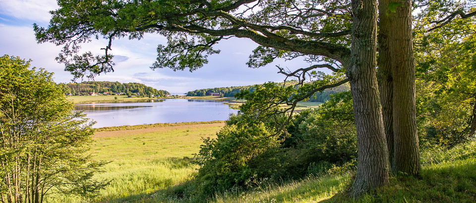
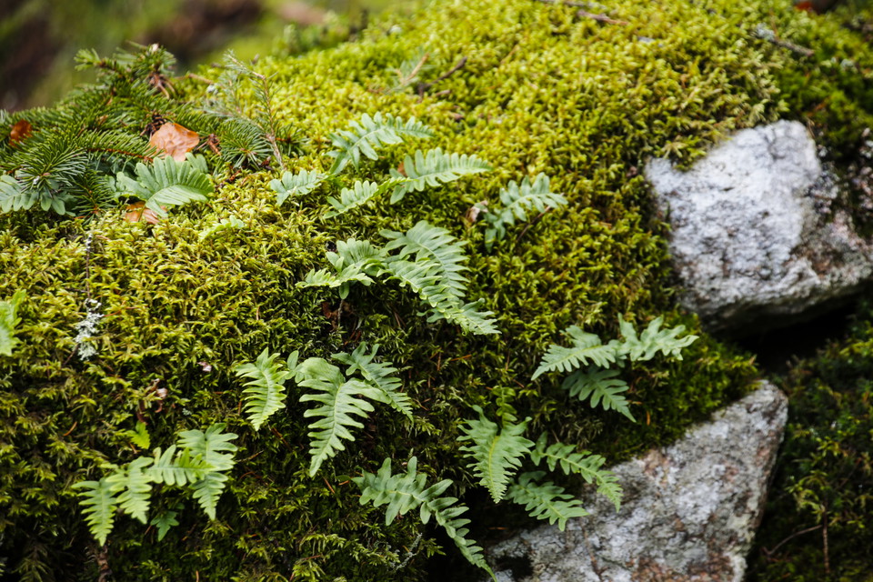
The biotope protection area at Mästaremåla is a beautiful historic landscape with stone walls, trees and grazed coastal meadows. Much of this Natura 2000 area was farmed into the 1930s when the land became grazing land. The moraine, which is dry and contains large rocks, is home to beautiful quaking grass, heath grass, common rock-rose, common milkwort and the endangered species Thymus pulegioides, a type of thyme. Extensive surveys have found a handful of dung beetles as well as six-spot burnets and narrow-bordered five-spot burnets, two types of moth.
Mörtsjöåsen is a ridge between the lakes of Stora Åsjön and Mörtsjön, six kilometres outside Rödeby. Soldiers were quartered here on what was then an island back in the seventeenth century but it was to take almost 300 years before the ridge became the place for outdoor recreation that it is today. Don’t miss the Mörtsjö swimming spot with its amazing sunsets.
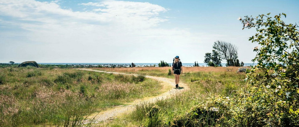
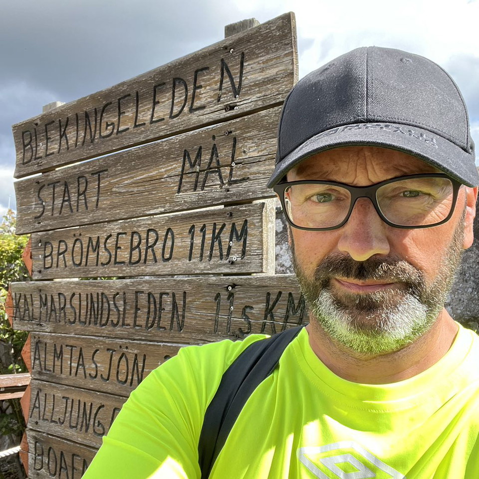
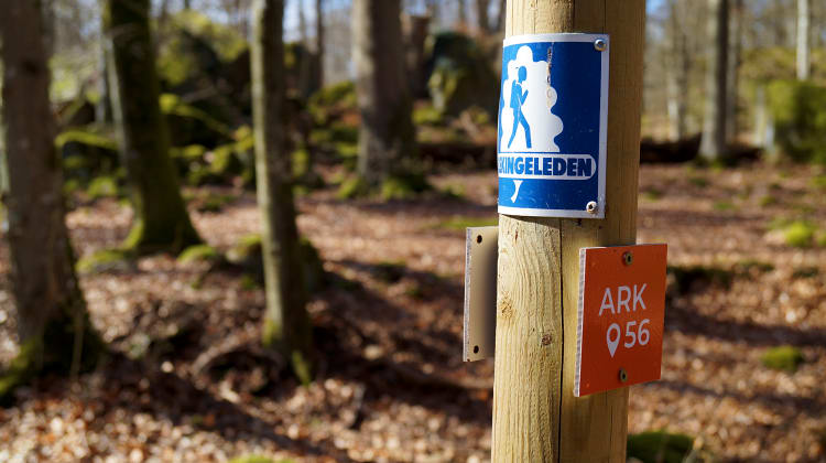
Blekingeleden is a 26-mile long walking trail running from Sölvesborg in the west to Bröms in the north-east. The terrain varies, with paths and gravel roads running through a mosaic landscape of forest, grazing, lakes and little fields. There is access to water and toilets on most of the sections of the trail. Blekingeleden is marked in orange on posts and signs. The trail is described from west to east but naturally it is up to you which direction you walk it in.
Sweden’s right of public access means visitors are free to explore the countryside. www.swedishepa.se
Blekinge Arkipelag Kurpromenaden 4 372 36 Ronneby
Team ARK56



Still et spørsmål til andre brukere av Naturkartan.
0 anmeldelser
Ingen brukerbilder ennå. Bli den første til å dele!