Östergötlands län

Kart

70 Gå

Stångåstråkets centrala delar

  • Kommune: Linköping
  • 6767.55 km fra deg
  • 6.5 km

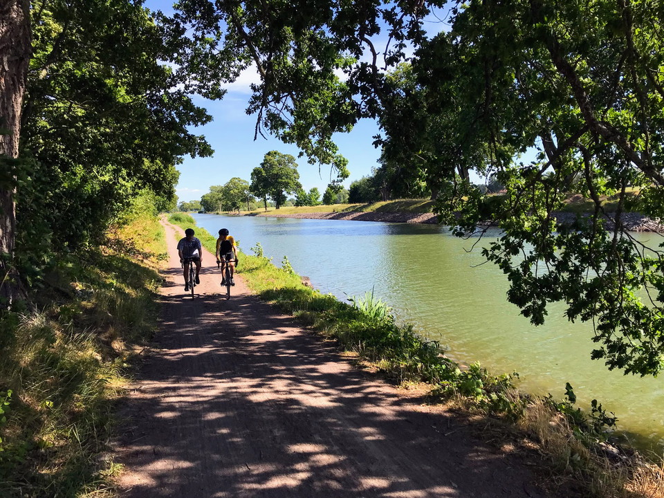
This part of Stångåstråket runs between Nykvarnsparken in the north and Tannefors slussar in the south. The trail is one of Linköping residents' most popular home routes. Here, sun worshippers mix with Nordic walkers, strollers with joggers and dog owners w…
Sirkulær slynge

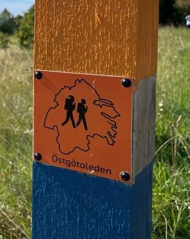
Birgittas udde - rundslinga, Östgötaleden

  • Kommune: Motala
  • 6734.56 km fra deg
  • 4.6 km
  • Vanskelighetsgrad: Grønn

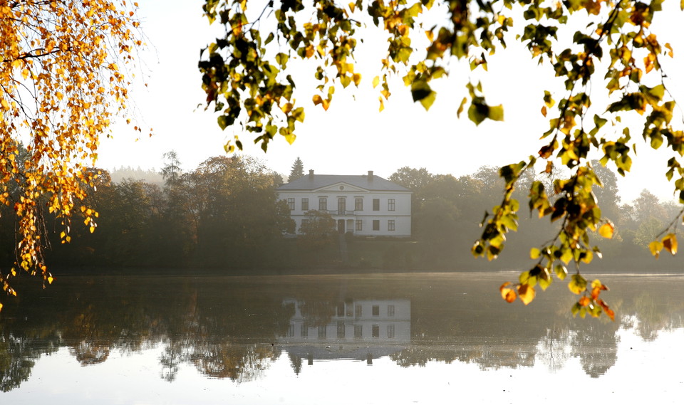
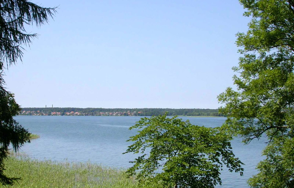
This circular trail of about 4 km takes you around Birgitta's headland. Birgitta's cape is a tranquil environment within cycling distance from Motala urban area. Here are the ruins of the medieval castle complex where Saint Birgitta lived and worked. The ca…

Bockarps discgolfbana

  • Kommune: Mjölby
  • 6748.71 km fra deg
  • 3.1 km

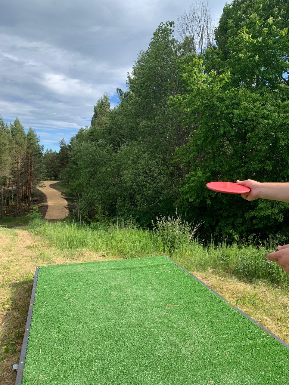
Bockarps Discgolfbana är en 18 hålsbana som öppnade sommaren 2022. Banan går i varierande och kuperad terräng. Första sju hålen går i tät skog. Från banans finaste hål 8 öppnar sig naturen upp och går i öppen terräng till att slutligen avslutas med i skogs…

Upptäcktspromenad i Charlottenborgsområdet

  • Kommune: Motala
  • 6732.37 km fra deg
  • 5.4 km

Go for a walk and learn more about the Charlottenborg area. There is so much more here than the Charlottenborg residential area. Here we describe some of the things you pass on your walk. The Charlottenborg Church, Charlottenborg castle, Hårtorpssjön (Hårto…

Barnas eventyr

Bella Blåmes trädstig Mariebergsudden

  • Kommune: Motala
  • 6728.20 km fra deg
  • 0.5 km

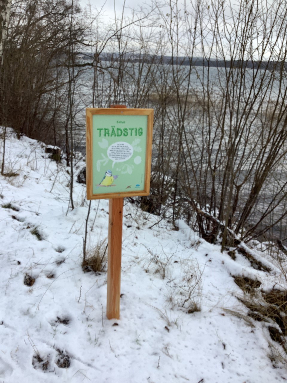
Bella Blue's tree path Out on Mariebergsudden, with the roar of Lake Vättern on one side and the rustle of the old forest on the other, you can walk a small tree trail with your children. Along the tree trail, Bella Blåmes presents different types of trees…

Sykling

Ekstråk till Tinnerö eklandskap

  • Kommune: Linköping
  • 6766.43 km fra deg
  • 4.5 km

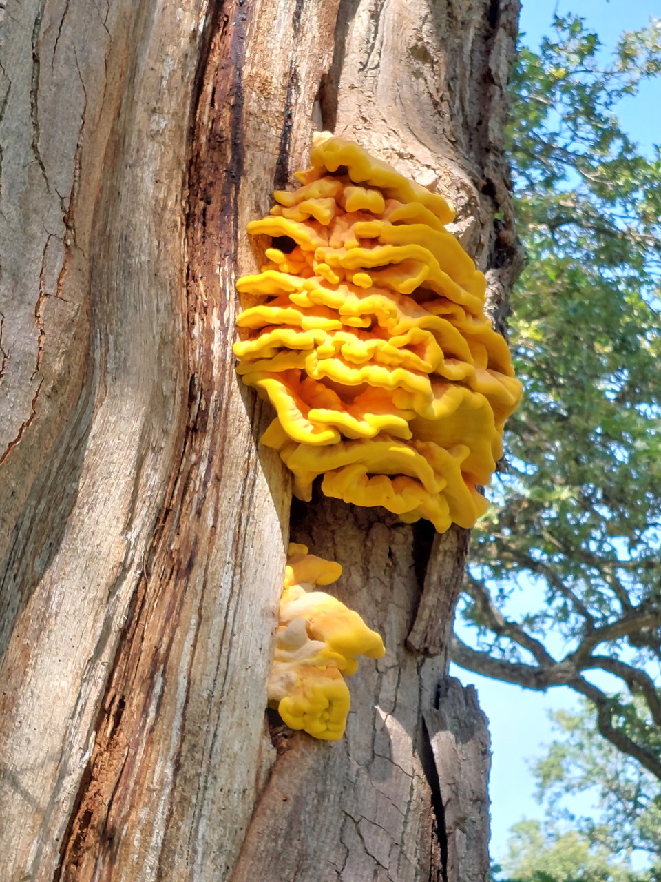
From Drottninggatan through Trädgårdsföreningen, it is 2 km to the Tinnerö oak landscape and Djurgården's oak hills. Like small green oases, oak slopes and oak groves are located between residential areas and apartment buildings in central Linköping. This o…

Sykling

Ekstråk längs Tinnerbäcken till eklandskapet

  • Kommune: Linköping
  • 6767.94 km fra deg
  • 18.3 km

From Drottningatan you can cycle straight south along Tinnerbäcken. After about 1.5 kilometers you will reach Ekkälledammen. It's not for nothing that the street addresses in this area have names like Eklyckegatan, Ekkällegatan and Ekhultsgatan. Ekstråket b…

Barnkonventionsrundan i Rydskogen

  • Kommune: Linköping
  • 6765.00 km fra deg
  • 2.3 km
  • Vanskelighetsgrad: Grønn

The Children's Convention Round is 2.3 km long and runs on cycle paths in Rydsskogen. Start and finish are at the service house. Along the Children's Convention Round, there are 7 stations with information about the most important articles. At each station…

Løping

Vallaskogen (2,25 km)

  • Kommune: Linköping
  • 6766.77 km fra deg
  • 2.5 km
  • 15
  • Vanskelighetsgrad: Blå

The exercise trail is located in the scenic Vallaskogen in Linköping. The trail is 2.5 kilometers long and is managed by Linköping municipality. Adjacent to the trail are Gamla Linköping and Valla Friluftsområde.

Løping

Vallaskogen (5 km)

  • Kommune: Linköping
  • 6765.89 km fra deg
  • 5.0 km
  • 30
  • Vanskelighetsgrad: Blå

The exercise trail is located in the scenic Vallaskogen in Linköping. The trail is 5 kilometers long and is managed by Linköping municipality. The exercise trail is connected to Ryd exercise center (5 km). A total of 10 kilometers. Adjacent to the trail are…

Fotturer

Gångstig Borenshult, Sjögränderna

  • Kommune: Motala
  • 6732.25 km fra deg
  • 1.5 km
  • 20
  • Vanskelighetsgrad: Blå

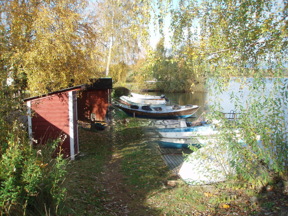
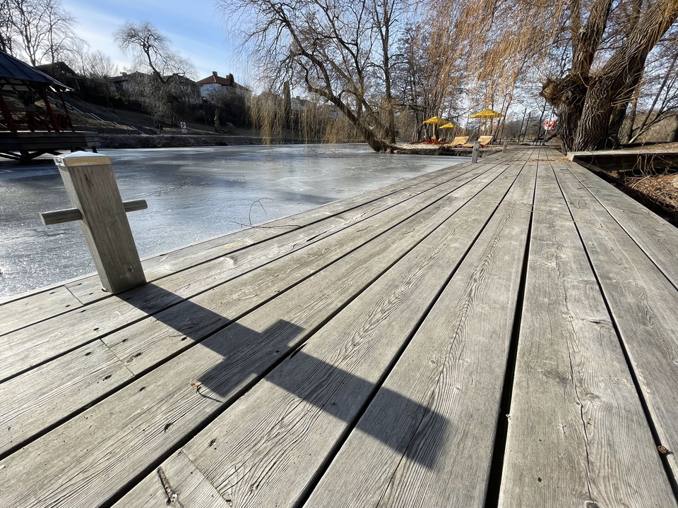
From Slussgatan at Borenshult's locks, a footpath will be built for walking along the shore all the way to Karshult's treatment plant. The path passes by small boathouses, boats and over wooden decks and piers with the calm lapping water of the Borens as co…

Vidingsjö familjespåret (1,8 km)

  • Kommune: Linköping
  • 6770.23 km fra deg
  • 1.8 km

The family trail starts at Vidingsjö exercise center and is 1.8 kilometers long. At the same location, there is also a 2.5-kilometer lighted exercise trail and two longer unlit trails, 5 kilometers and 10 kilometers. The facilities are managed by Linköping…

Naturkartan

Åpne dette i appen