
Dacke skans fornborg
- Synspunkt
- Gammelt monument/kulturminne
- Fylke: Östergötlands län
- 6812.50 km fra deg
Handlinger
Beskrivelse
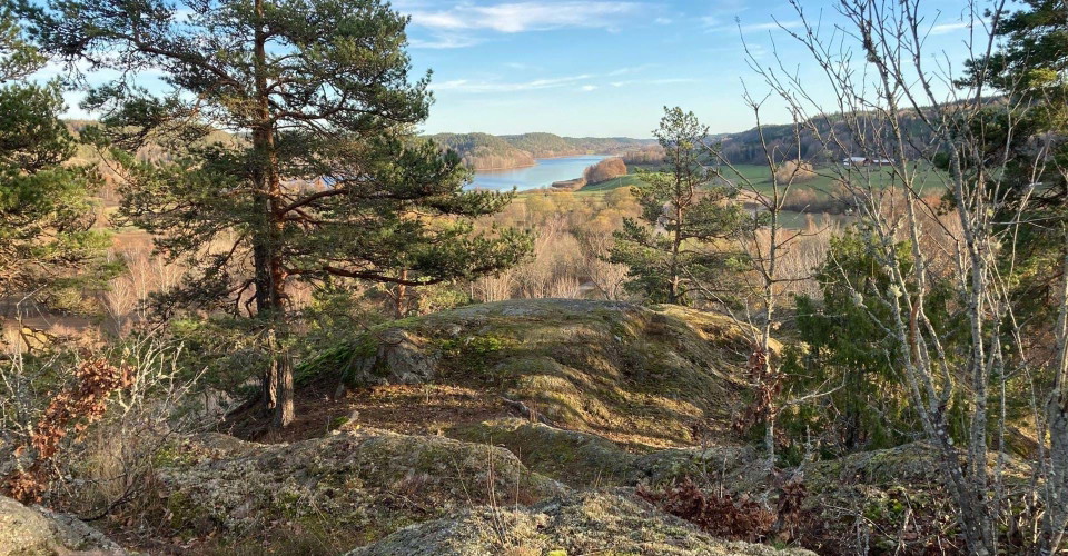
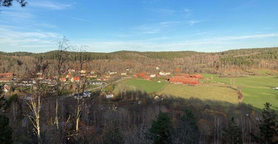
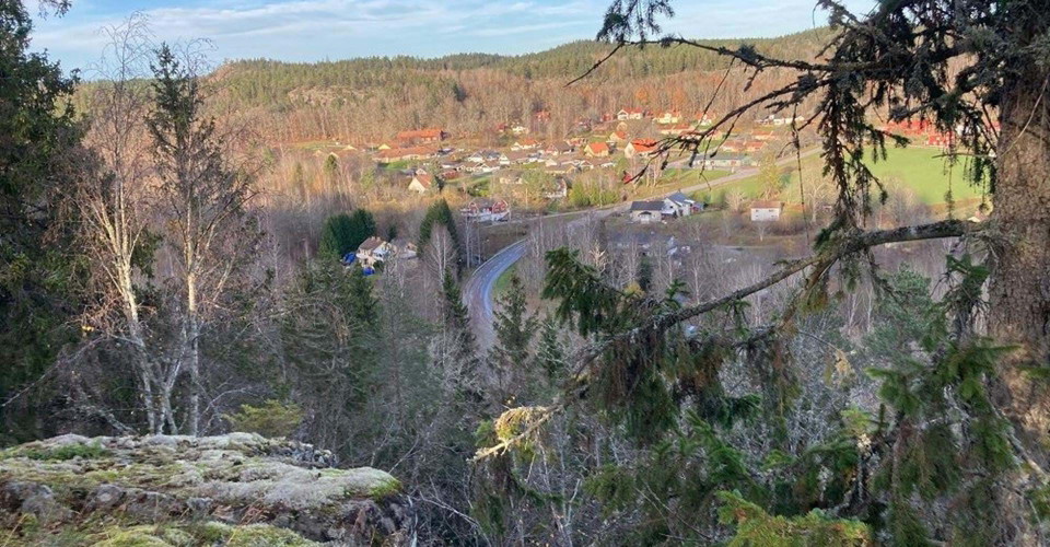
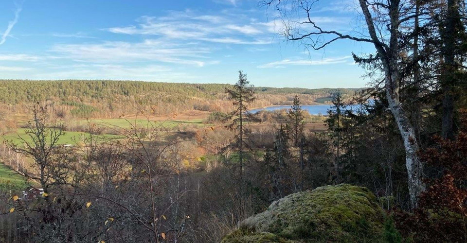
Dacke skans consists of the remains of an ancient fortress located high up on the ridge of Dackeberget. From the mountain you have a fantastic view of Falerum community, Uknadalen and Lake Åkervristen. The fortress and the viewpoint can be reached from Falerum community via Östgötaleden. The distance is about 600 m. There is a connecting trail to the ancient castle from the north. The best viewpoint is most easily reached via a connection from the south. The area up on the castle is partly difficult to climb.
About the ancient monument (From the ancient monument inventory carried out by Östergötland Museum and Gärdesrums hembygdsförening 1999):
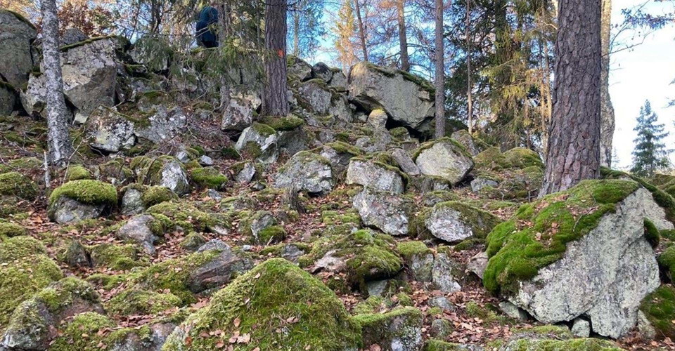
The castle is located on a hilly area with several protruding hills in the southwest and southeast, which means that the ground slopes towards the northwest and northeast. The castle has an area of 160x60 m. It is limited by cliffs in the northeast and southwest and around the remaining edges of the castle runs a c. 225 m long stone wall with a width of c. 1-3 m and with a height of 0.1-0.5 m built of 0.1-1.5 m large stones. In the southeast there are indistinct remains of an outer wall connected to the inner one. The period of use or function of the fortress is not clear, it is likely that the rock has been part of a system of spring huts. Read more
Aktiviteter og fasiliteter
- Synspunkt
- Gammelt monument/kulturminne
Kontakt
Adresse
Välkommen till Östgötaleden, 150 mils vandring i Östergötland!
E-postadresse
Kontakt Östgötaleden
Organisasjonens logotype

Jeg har vært her
Jeg ønsker å dra hit 1

Spørsmål og svar
Still et spørsmål til andre brukere av Naturkartan.
Omtaler
0 anmeldelser
- 5 :
- 4 :
- 3 :
- 2 :
- 1 :
Brukernes bilder
Ingen brukerbilder ennå. Bli den første til å dele!
