
Blekinge län

Kulturelt miljø

Kart

159 Kulturelt miljø

Kulturelt miljø

Senoren - drönarfilm om Biosfärområdets kultur- och naturlandskap

  • Kommune: Karlskrona
  • 6901.81 km fra deg

Experience Blekinge's coast as the birds see it... Senoren is a large archipelago island with natural pastures and forest groves. The elegant Möcklösund Bridge connects the island with the mainland. In the past, the fields on the island often housed strawbe…
Kulturelt miljø

Skärva - drönarfilm om Biosfärområdets kultur- och naturlandskap

  • Kommune: Karlskrona
  • 6889.16 km fra deg

Experience Blekinge's coast as the birds see it... Skärva manor is a famous manor that was built by the prominent shipbuilder Fredrik af Chapman. Beautiful beech forests surround the manor. The film is commented in Swedish, but there is also the option to a…

Kulturelt miljø

Steneryd - drönarfilm om Biosfärområdets kultur- och naturlandskap

  • Kommune: Karlskrona
  • 6907.38 km fra deg

Experience Blekinge's coast as the birds see it... Steneryd is one of the two preserved leaf meadows in Blekinge. Here you see lots of trees that are still pruned every 3-6 years. The trees were pruned in the past to get winter food for the domestic cattle.…

Kulturelt miljø

Stiby Backe - drönarfilm om Biosfärområdets kultur- och naturlandskap

  • Kommune: Sölvesborg
  • 6852.15 km fra deg

Experience Blekinge's coast as the birds see it... Stiby Backe is a beautiful "mountain" with a view over Listerlandet. There are species-rich pastures and deciduous forests here. The film is commented in Swedish, but there is also the option to add Englis…

Kulturelt miljø

Sölvesborg - drönarfilm om Biosfärområdets kultur- och naturlandskap

  • Kommune: Sölvesborg
  • 6845.97 km fra deg

Experience Blekinge's coast as the birds see it... Sölvesborg is an historically important city that in the past served as Bleking's "lock" to the west, with castle ruins among other things. Sensational finds of Stone Age settlements have been made here dur…

Kulturelt miljø

Tjurkö - drönarfilm om Biosfärområdets kultur- och naturlandskap

  • Kommune: Karlskrona
  • 6895.82 km fra deg

Experience Blekinge's coast as the birds see it... Tjurkö is also called the island of the stonecutters because there was an extensive quarrying activity going on. The most spectacular quarry is Vrålebo. Here, among other things, convicts had to work. The b…

Kulturelt miljø

Torhamns udde - drönarfilm om Biosfärområdets kultur- och naturlandskap

  • Kommune: Karlskrona
  • 6910.65 km fra deg

Experience Blekinge's coast as the birds see it... The place Torhamn was called Torrum until 1898. Place names ending in "rum" are considered ancient. Torhamn's headland is Sweden's most south-eastern headland. The headland has been an attractive burial sit…

Kulturelt miljø

Torkö - drönarfilm om Biosfärområdets kultur- och naturlandskap

  • Kommune: Ronneby
  • 6882.39 km fra deg

Experience Blekinge's coast as the birds see it... Torkö can be said to have two really interesting landmarks. One, the large quarry, is very visible and is now filled with water and a nice swimming spot. The other landmark, the remains of St Clara's Franci…

Kulturelt miljø

Utlängan - drönarfilm om Biosfärområdets kultur- och naturlandskap

  • Kommune: Karlskrona
  • 6911.42 km fra deg

Experience Blekinge's coast as the birds see it... In the extreme southeast of the Karlskrona archipelago lies the rather large and flat island of Utlängan. The island is largely characterized by grazing animals and has been an agricultural island. The vill…

Kulturelt miljø

Uttorp - drönarfilm om Biosfärområdets kultur- och naturlandskap

  • Kommune: Karlskrona
  • 6902.12 km fra deg

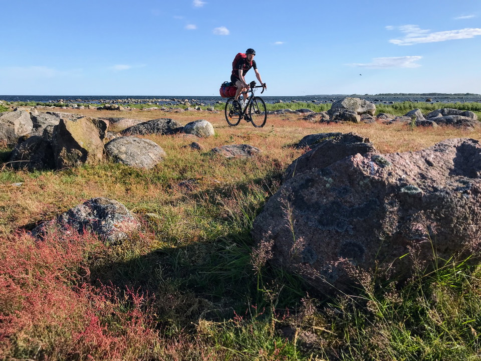
Experience Blekinge's coast as the birds see it... Uttorp, located on the island of Sturkö, is one of the few preserved heather areas in Blekinge. Here there are also boulder fields and deciduous forest, as well as a lot of ponds that are remnants of quarry…

Kulturelt miljø

Vesan - drönarfilm om Biosfärområdets kultur- och naturlandskap

  • Kommune: Sölvesborg
  • 6844.17 km fra deg

Experience Blekinge's coast as the birds see it... Vesan is today an agricultural plain, but until about 1924 it was a large wetland with a lake in the middle. Gammelstorp church was built on an island in the middle. In 1924, a large dewatering project star…

Kulturelt miljø

Skällöspärren

  • Kommune: Karlskrona
  • 6902.83 km fra deg

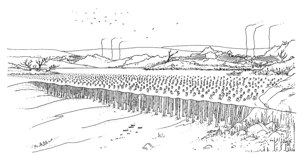
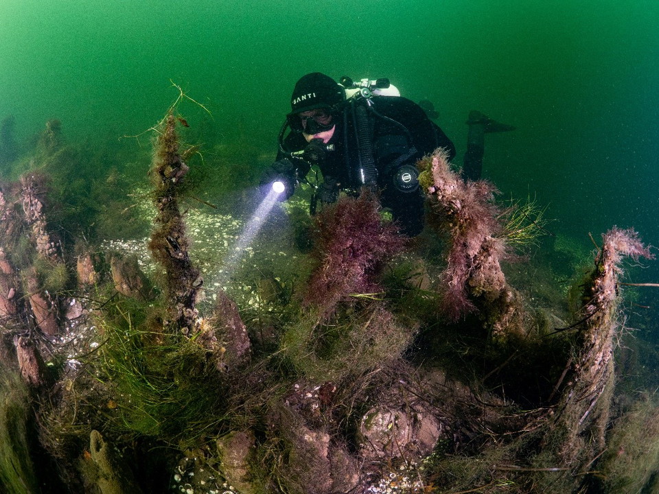
On the seabed in the strait between western Skällö and eastern Skällö, there are remains of a prehistoric pile barrier 290 metres long. At the end of the Viking Age, the strait was blocked off by a large number of piles that prevented ships from sailing the…

Kulturelt miljø

Bussevikspärren

  • Kommune: Karlskrona
  • 6904.86 km fra deg

In the strait between Senoren and Bussevik, at the height of Dränganabben, is Blekinge's best preserved pile barrier. At the beginning of the Middle Ages, it blocked off the strait and prevented ships from sailing into the large burial ground, Stora Backe,…

Kulturelt miljø

Tomtöspärren

  • Kommune: Karlskrona
  • 6904.81 km fra deg

In the 500 meter wide strait between Tomtö and Möcklö there is a pile barrier that blocked the entrance to Hallarumsviken at the end of the Viking Age. Perhaps the pile barrier was built to prevent intruders from entering the Store Backe burial ground. Duri…

Kulturelt miljø

Tjurkö Båtkyrkogård

  • Kommune: Karlskrona
  • 6895.50 km fra deg

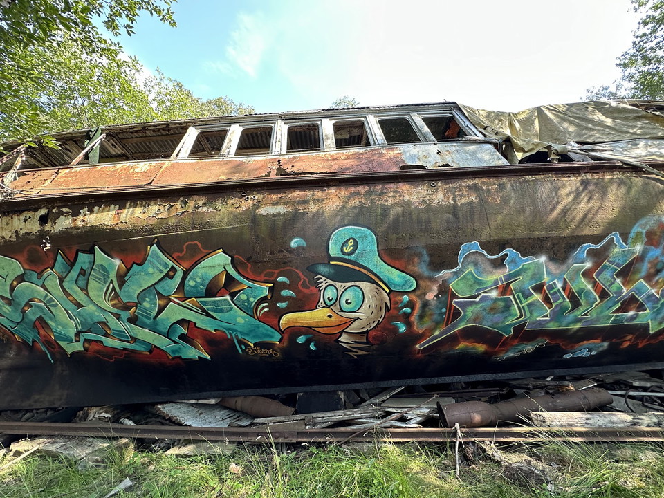
Tjurkö Boat Graveyard Tjurkö Boat Graveyard is one of Karlskrona’s most unique and curious places – a hidden cultural site tucked away in roadless land. Here lie abandoned archipelago ferries, fishing boats, and even a tracked tractor, all left behind since…

Naturkartan

Åpne dette i appen