Beste turstier i Helsingborg

Helsingborg

Naturkarten samler de turstiene i Helsingborg som er mest populære blant våre brukere.

Bilder

Kart

24 Beste turstier i Helsingborg

Fotturer

Landborgspromenaden

  • Kommune: Helsingborg
  • 6739.29 km fra deg
  • 14.0 km

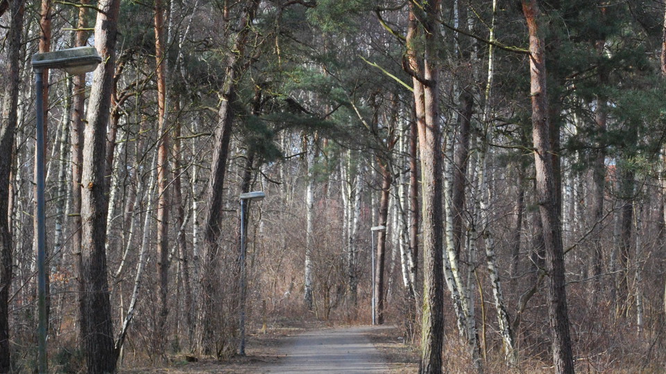
Discover Landborgen! Landborgen has a unique natural-geographical and cultural-historical background. It rises between 20 and 40 meters above sea level and is the result of land uplift after the melting of the ice sheet. From Christinelund in the north, via…

Fotturer

Helsingborg

  • Kommune: Helsingborg
  • 15.49 km

Trail between Helsingborg - Rydebäck. Varying terrain. More than 50% on nature trail.

Fotturer

Domsten

  • Kommune: Helsingborg
  • 12.05 km

Trail between Domsten - Helsingborg. Hilly terrain. Steep sections on nature trail.

Fotturer

Tallskogsleden

  • Kommune: Helsingborg
  • 6744.86 km fra deg
  • 5.5 km

Welcome to the Tallskogsleden trail, which stretches about five kilometers between Råå in the south and Planteringen in the north. Until the end of the 18th century, the area had extensive flying sand fields and heather fields, which were then called "Råå L…

Fotturer

Trädslingan

  • Kommune: Helsingborg
  • 6742.68 km fra deg
  • 3.8 km

By making your way through this loop, you have the opportunity to experience Helsingborg's enriched tree life. Everything from prehistoric to new varieties of trees can be found in this multicultural and historic tree population.

Beste turstier i Helsingborg

Naturkarten samler de turstiene i Helsingborg som er mest populære blant våre brukere.

Naturkartan

Åpne dette i appen