Bruces Skog: Gula Slingan
- Kommune: Helsingborg
- 6746.25 km fra deg
- 4.8 km
The yellow trail is 5 kilometers long

Helsingborg
Naturkarten samler de turstiene i Helsingborg som er mest populære blant våre brukere.
The yellow trail is 5 kilometers long
Description of the project
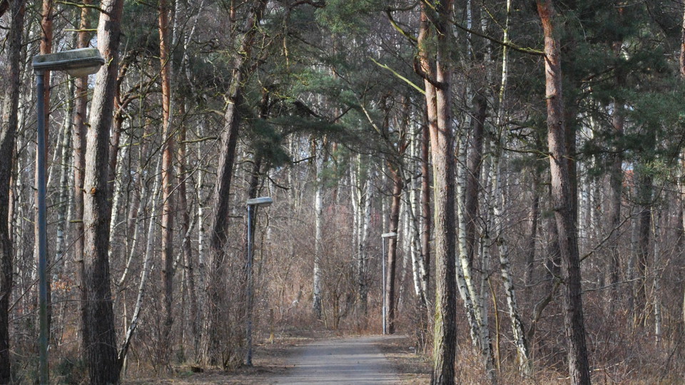
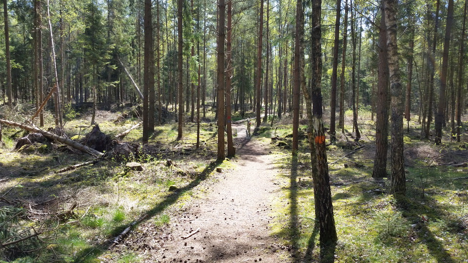
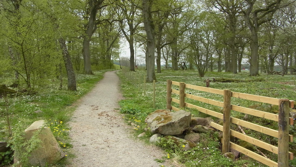
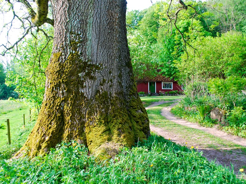
By making your way through this loop, you have the opportunity to experience Helsingborg's enriched tree life. Everything from prehistoric to new varieties of trees can be found in this multicultural and historic tree population.
Welcome to the Tallskogsleden trail, which stretches about five kilometers between Råå in the south and Planteringen in the north. Until the end of the 18th century, the area had extensive flying sand fields and heather fields, which were then called "Råå L…
Trail between Helsingborg - Rydebäck. Varying terrain. More than 50% on nature trail.
Trail between Domsten - Helsingborg. Hilly terrain. Steep sections on nature trail.
Length approx. 500 m (within the nature reserve).
Naturkarten samler de turstiene i Helsingborg som er mest populære blant våre brukere.