Nyhet!

Nu kan du dela dina bilder på Naturkartan! 📸

Les mer

Beste turstier i Leksand

Leksand

Naturkarten samler de turstiene i Leksand som er mest populære blant våre brukere.

Bilder

Kart

68 Beste turstier i Leksand

Fotturer

Gruvvandringen

  • Kommune: Leksand
  • 6623.53 km fra deg
  • 5.0 km
  • Vanskelighetsgrad: Rød

Hike through cultural-historical environments and partly fine old forest. The path is narrow but well-trodden and the terrain is sometimes very hilly. Along the way there is brief information that Åhls hembydsförening has produced. Imagine what it must have…

Fotturer

Fäbodstig i Troléns fotspår

  • Kommune: Leksand
  • 6623.84 km fra deg
  • 6.0 km
  • Vanskelighetsgrad: Blå

Nice round with exciting elements of cultural environments and beautiful natural environments. On the walk between the villages of Vålberg and Hackmora, you walk through spruce forest that was previously open fields, over marshland where peat cutting was im…

Fotturer

Limsjön runt

  • Kommune: Leksand
  • 6611.87 km fra deg
  • 7.0 km
  • Vanskelighetsgrad: Grønn

Limsjön is a shallow and nutritious bird lake near the center of Leksand. A graveled hiking trail takes you around the lake and the bird life can be experienced from several bird towers and a hide. The trail has become a very popular hiking route both for b…

Fotturer

Tällberg runt

  • Kommune: Leksand
  • 7.6 km

Lovely variety with village, forest, meadow and views. Easily accessible trail near where many people live and stay. Along the way, you walk through one of Dalarna's finest hay meadows, so take a look in between the fence yard storms - there are several "ra…

Fotturer

Järnfyran

  • Kommune: Leksand
  • 6624.80 km fra deg
  • 4.0 km
  • Vanskelighetsgrad: Blå

The path is well-trodden and leads through forest and over hilly terrain. Almost everywhere you see remains of human activity. Imagine what it must have sounded like here 200 years ago - mining has been carried out here for more than 500 years and up to the…

Fotturer

Källan-Asaklitt

  • Kommune: Leksand
  • 6612.83 km fra deg
  • 15.0 km
  • Vanskelighetsgrad: Blå

Where the exercise trails start from Källan in Källberget, the trail also starts towards Asaklitt. The trail winds its way along paths and over slightly hilly pine heath, eventually turning into a steep climb up the mountain. The area next to Källberget is…

Fotturer

Alviken runt

  • Kommune: Leksand
  • 6603.03 km fra deg
  • 7.0 km
  • Vanskelighetsgrad: Blå

A 7 km long scenic route with great variety, partly through nature reserves, around Alviken. The route leads through the natural and cultural landscape on Storön and along the beach in the villages of Alvik, Almo and Näsbyggebyn. You can row a short distanc…

Fotturer

Solvändan

  • Kommune: Leksand
  • 6608.79 km fra deg
  • 5.2 km
  • Vanskelighetsgrad: Grønn

Solvändan is a walk along the water from Leksandsbron, around Kyrkudden to Leksand Sommarland. The walk is just under four kilometers one way. During the period that Leksand Sommarland is closed, it is possible to walk another kilometer along Siljan below t…

Fotturer

Kvarnbäcksfallen/Njutfallen

  • Kommune: Leksand
  • 6631.70 km fra deg
  • 2.7 km
  • Vanskelighetsgrad: Blå

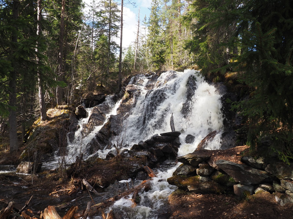
Probably the most spectacular waterfalls in the municipality. The trail takes you around a loop where it is possible to see the waterfalls from both sides. The flow of the stream and the falls varies greatly and is most spectacular during spring floods or j…

Fotturer

Stigar, Skeberget

  • Kommune: Leksand
  • 6610.21 km fra deg
  • 5.0 km
  • Vanskelighetsgrad: Rød

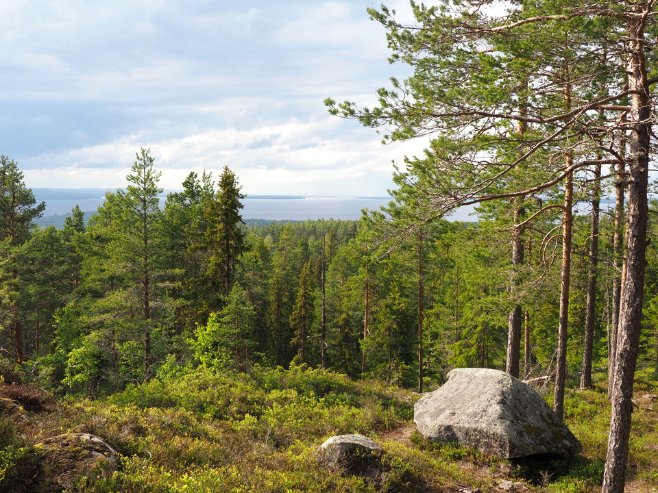
It is a steep climb to the top of Skeberget whether you come from the north or the south. But it is worth the effort because the views are breathtaking in several directions. The paths are mainly in woodland where it varies between hygge, young forest and s…

Fotturer

Älvpromenaden, Västannor-Dragsängarna

  • Kommune: Leksand
  • 6615.48 km fra deg
  • 7.5 km

Hike the trail from Västannor across the fields towards Insjön, through Dragsängarna and up to Bäckenhamn. Here you can experience beautiful views and a rich bird life. At Dragsängarna, the trail runs along the embankment that was once built to increase the…

Fotturer

Knippbodarna

  • Kommune: Leksand
  • 6621.60 km fra deg
  • 6.0 km
  • Vanskelighetsgrad: Blå

Easy to walk and wide path south up the mountain behind Sätergläntan. Wide views to the north towards Siljansnäs church and Björkberget when you get up a bit on the heights. To the west you can see Asaklittsberget and in the valley Clas Ohlsson's warehouse…

Fotturer

Djuptjärnbo

  • Kommune: Leksand
  • 6626.46 km fra deg
  • 1.7 km
  • Vanskelighetsgrad: Blå

Marked trail, partly through the nature reserve, and the path goes through forest, up mountains and through the village.

Fotturer

Fäbodled Ljusbodarna-Sången

  • Kommune: Leksand
  • 6607.12 km fra deg
  • 12.7 km
  • Vanskelighetsgrad: Blå

A lovely round that can be varied in length. From Ljusbodarna, which is one of Leksand's largest and most well-preserved sheds, to Sången with a lovely sandy beach and the opportunity to swim. Further up towards Sångberget's sheds and views over the area or…

Fotturer

Ålheden, Tunsta-Ål-Kilen

  • Kommune: Leksand
  • 6618.06 km fra deg
  • 13.2 km
  • Vanskelighetsgrad: Blå

Paths and gravel roads on mainly dry pine heathland between Tunsta and Ål-Kilen. The whole round is 13.2 km but can be divided up. The northern turn Tunsta - "Genvägen" - Tunsta is 8 km and the southern turn Ål-kilen - "Genvägen" - Ål-Kilen 6.1 km. Many tra…

Beste turstier i Leksand

Naturkarten samler de turstiene i Leksand som er mest populære blant våre brukere.

Naturkartan

Åpne dette i appen