
Beste turstier i Habo
Habo
Naturkarten samler de turstiene i Habo som er mest populære blant våre brukere.
Bilder
Kart
35 Beste turstier i Habo

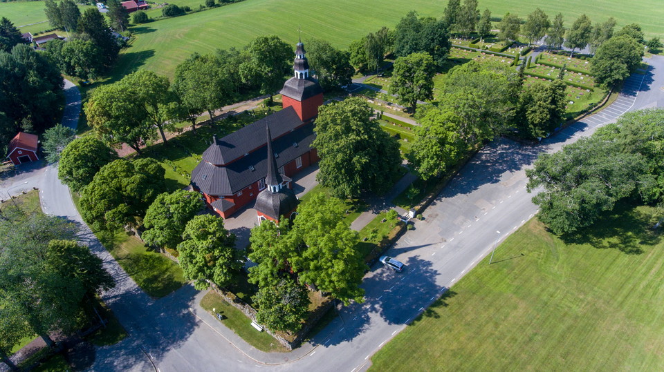
Norra S:t Sigfridsleden - Etapp 3, Habo kyrka - Hökesjön
- Kommune: Habo
- 6711.84 km fra deg
- 3.2 km
WELCOME TO WALK ON NORRA S:T SIGFRIDSLEDEN - Habo - Mullsjö Welcome to hike on historic roads in beautiful Småland and Västgöta nature! The trail described here stretches from Jönköping to Falköping or vice versa. With the help of the maps and directions on…
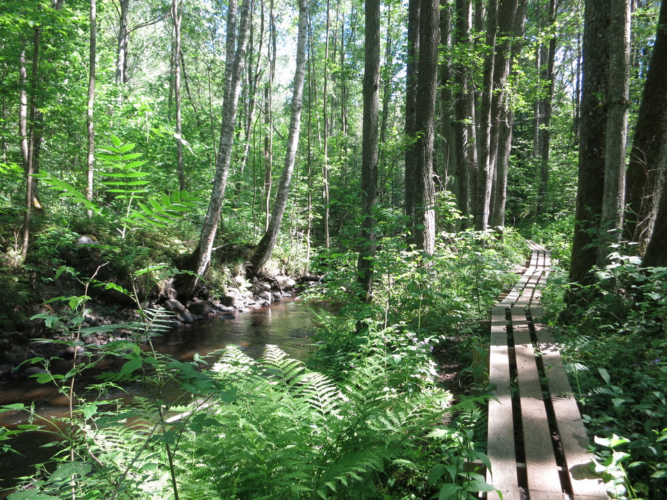
Hökesån, strövstig Spinnet - Slättens IP - Suttra
- Kommune: Habo
- 6715.54 km fra deg
- 5.5 km
A beautiful hike along the Hökesån nature reserve. The path stretches from Spinnet all the way down to the outlet in Vättern. The path is challenging in some places.
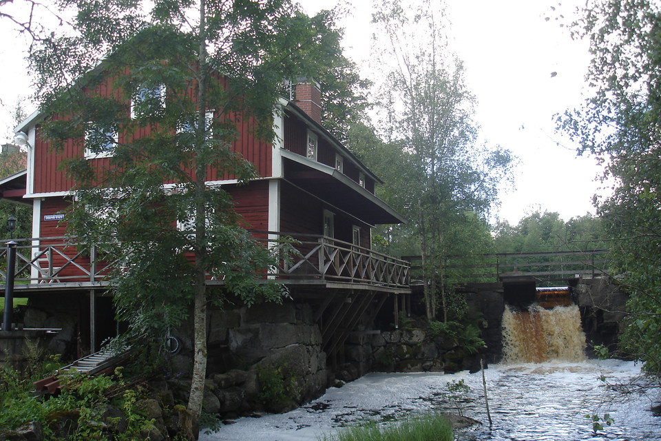
Västra Vätterleden etapp VV8 Furusjö - Mullsjö Hotell - En del av Smålandsleden
- Kommune: Habo
- 6705.87 km fra deg
- 9.2 km
- 2 t 20 min
- Vanskelighetsgrad: Blå
Along the trail you will discover a landscape typical of the south-western side of Lake Vättern. The trail is easy to walk and follows good paths with occasional low-traffic gravel or forest roads, comfortable shoes are recommended. Towards Mullsjö you p…
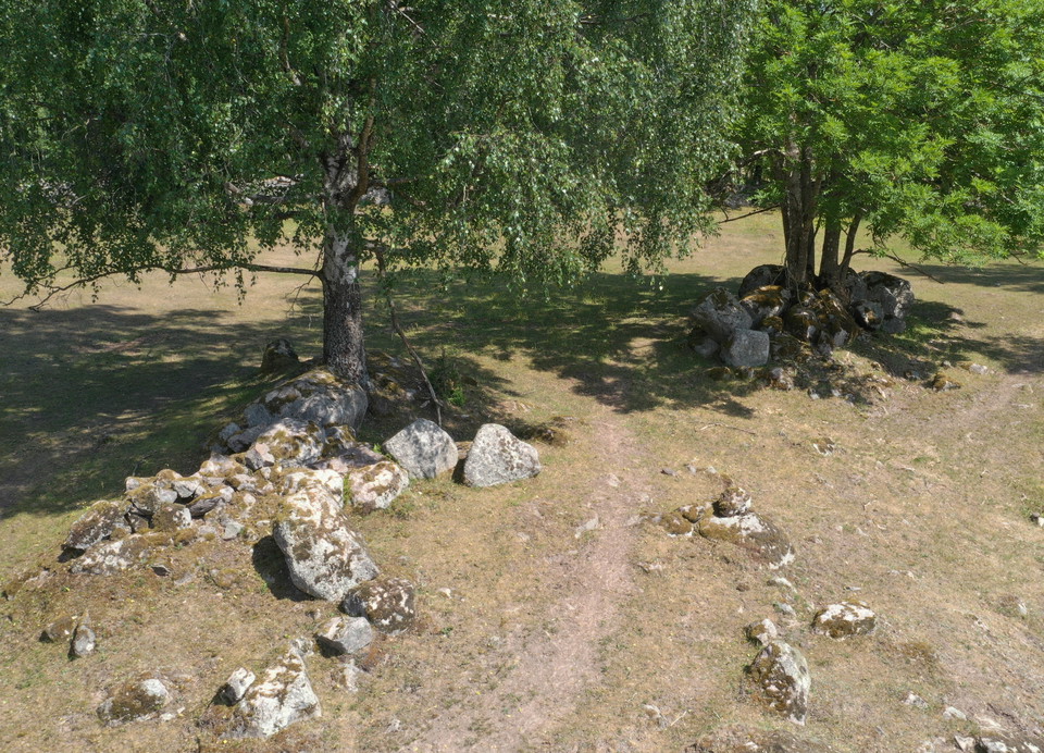
Västra Vätterleden etapp VV7 Fagerhult - Hökensås - En del av Smålandsleden
- Kommune: Habo
- 6705.93 km fra deg
- 15.6 km
- 4 t
- Vanskelighetsgrad: Blå
The trail follows good paths and easier forest roads. Comfortable shoes are recommended. Västra Vätterleden is marked with orange color on trees, poles and arrows. The trail follows flat sandy plateaus and ridges with few height variations. The stage offers…
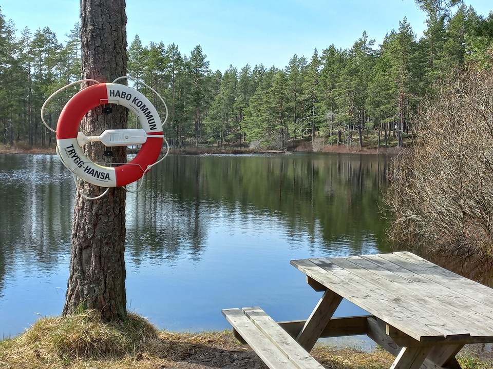
Västra Vätterleden etapp VV8 Fagerhult - Furusjö - En del av Smålandsleden
- Kommune: Habo
- 6706.25 km fra deg
- 20.6 km
- 5 t 10 min
- Vanskelighetsgrad: Blå
Welcome to a wonderful hike in a timeless forest and cloud landscape in a region formed by enormous ice masses about 13,000 years ago The trail runs through a landscape typical of the southwest side of Lake Vättern. The stage is easy to walk and follows goo…
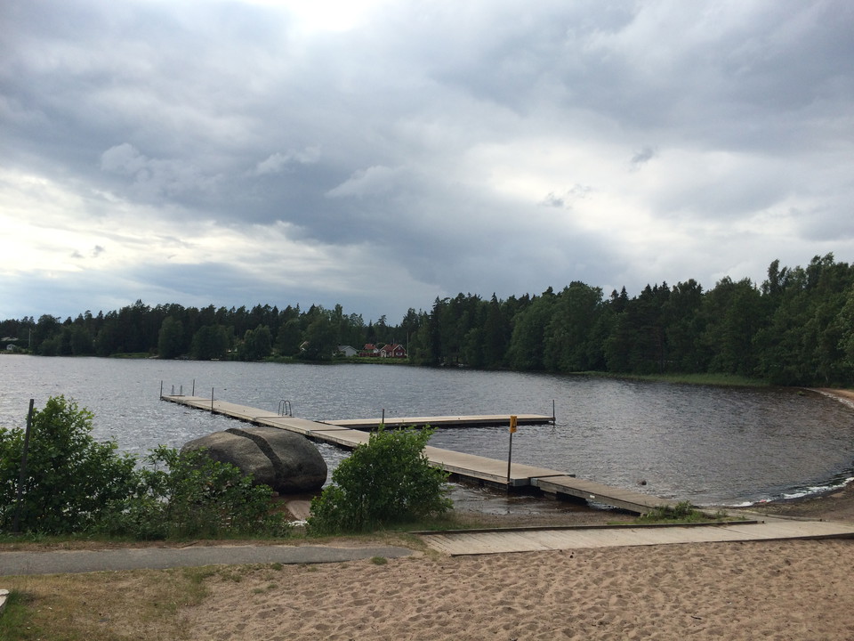
Norra S:t Sigfridsleden, Etapp 5 Furusjö - Perstorpsvägen
- Kommune: Habo
- 6707.53 km fra deg
- 5.0 km
WELCOME TO WALK ON NORRA S:T SIGFRIDSLEDEN - Habo - Mullsjö Welcome to hike on historic roads in beautiful Småland and Västgöta nature! The trail described here stretches from Jönköping to Falköping or vice versa. With the help of the maps and directions on…
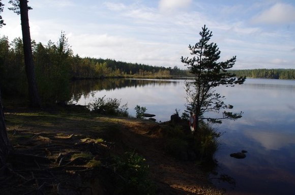
Norra S:t Sigfridsleden - Etapp 4, Hökesjön - Furusjö
- Kommune: Habo
- 6709.08 km fra deg
- 4.0 km
WELCOME TO WALK ON NORRA S:T SIGFRIDSLEDEN - Habo - Mullsjö Welcome to hike on historic roads in beautiful Småland and Västgöta nature! The trail described here stretches from Jönköping to Falköping or vice versa. With the help of the maps and directions av…
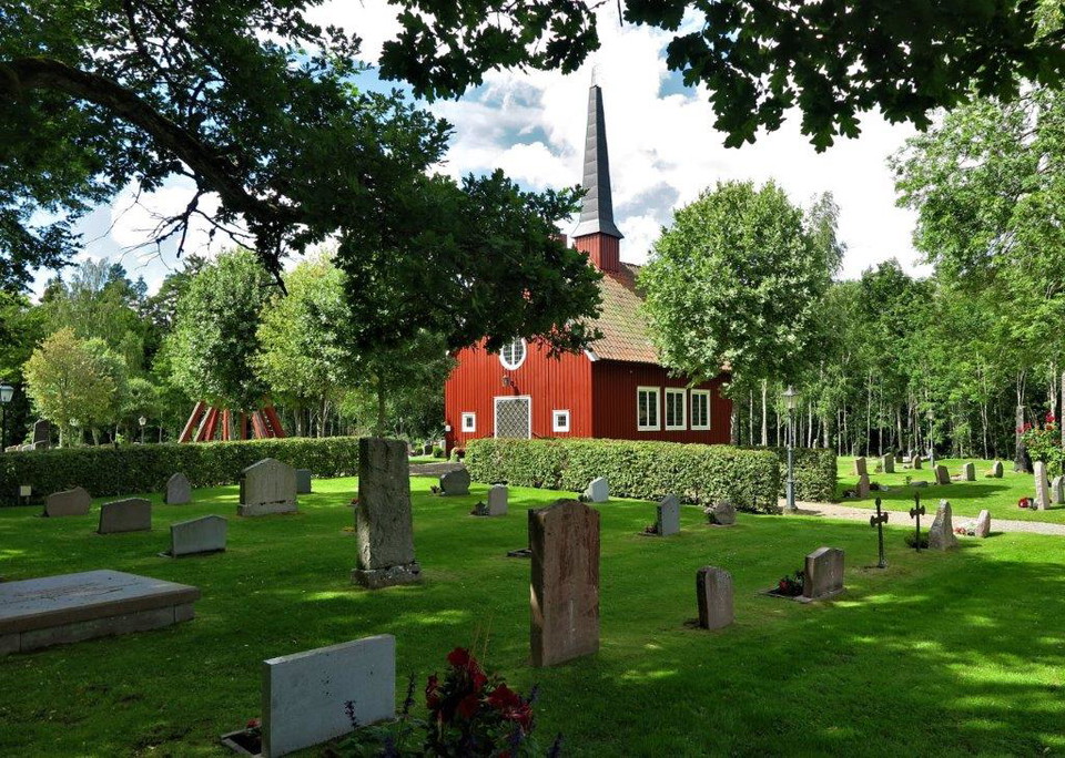
Norra S:t Sigfridsleden - Etapp 1, Fiskebäcks kapell - Ahlins
- Kommune: Habo
- 1.8 km
WELCOME TO WALK ON NORRA S:T SIGFRIDSLEDEN - Habo - Mullsjö Welcome to hike on historic roads in beautiful Småland and Västgöta nature! The trail described here stretches from Jönköping to Falköping or vice versa. With the help of the maps and directions on…
Etapp 8 Fagerhult-Hotel_Mullsjö
- Kommune: Habo
- 6705.84 km fra deg
- 31.0 km
description: description: tessellate: extrude: visibility:tessellate: extrude: visibility:
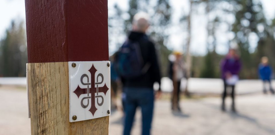
Norra S:t Sigfridsleden - Etapp 6, Perstorpsleden - Mullsjö
- Kommune: Habo
- 6706.29 km fra deg
- 2.4 km
WELCOME TO WALK ON NORRA S:T SIGFRIDSLEDEN - Habo - Mullsjö Welcome to hike on historic roads in beautiful Småland and Västgöta nature! The trail described here stretches from Jönköping to Falköping or vice versa. With the help of the maps and directions on…
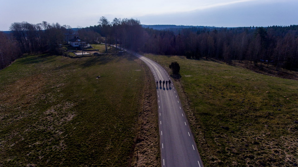
Norra S:t Sigfridsleden, Etapp 2, Ahlins - Habo kyrka
- Kommune: Habo
- 6714.54 km fra deg
- 4.5 km
WELCOME TO WALK ON NORRA S:T SIGFRIDSLEDEN - Habo - Mullsjö Welcome to hike on historic roads in beautiful Småland and Västgöta nature! The trail described here stretches from Jönköping to Falköping or vice versa. With the help of the maps and directions on…
Beste turstier i Habo
Naturkarten samler de turstiene i Habo som er mest populære blant våre brukere.
