Norra S:t Sigfridsleden - Etapp 3, Habo kyrka - Hökesjön
- Fotturer
- Fylke: Jönköpings län
- 6711.84 km fra deg
Detaljer om stien
- Lengde 3.2 km
Handlinger
Beskrivelse
WELCOME TO WALK ON NORRA S:T SIGFRIDSLEDEN - Habo - Mullsjö
Welcome to hike on historic roads in beautiful Småland and Västgöta nature! The trail described here stretches from Jönköping to Falköping or vice versa. With the help of the maps and directions on this page, you can choose how you want to organize your hike. All at once or divide it into stages.
STAGE 3, HABO CHURCH - HÖKESJÖN
Length: 3.2 km
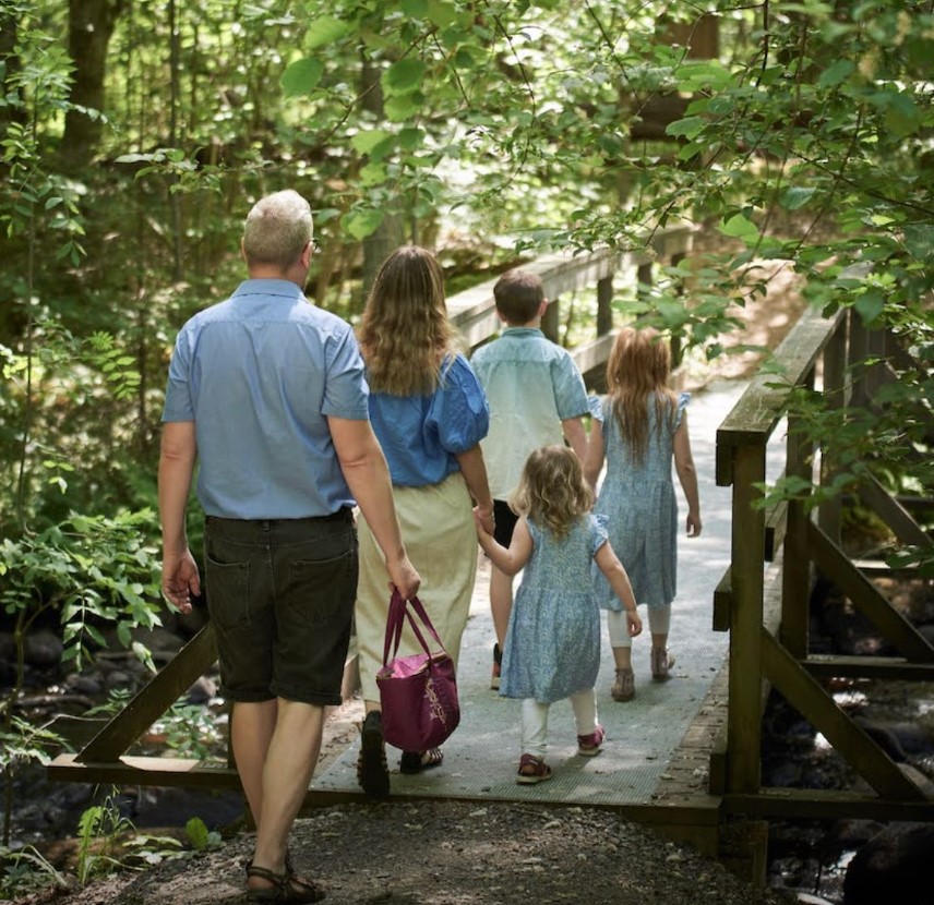
Terrain: Asphalt, Gravel road, Forest road, Path
Difficulty level: Medium
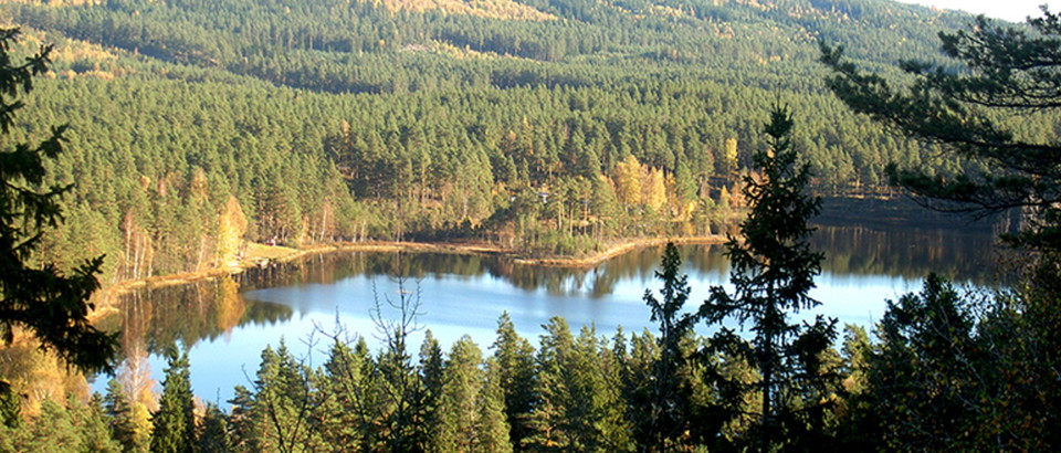
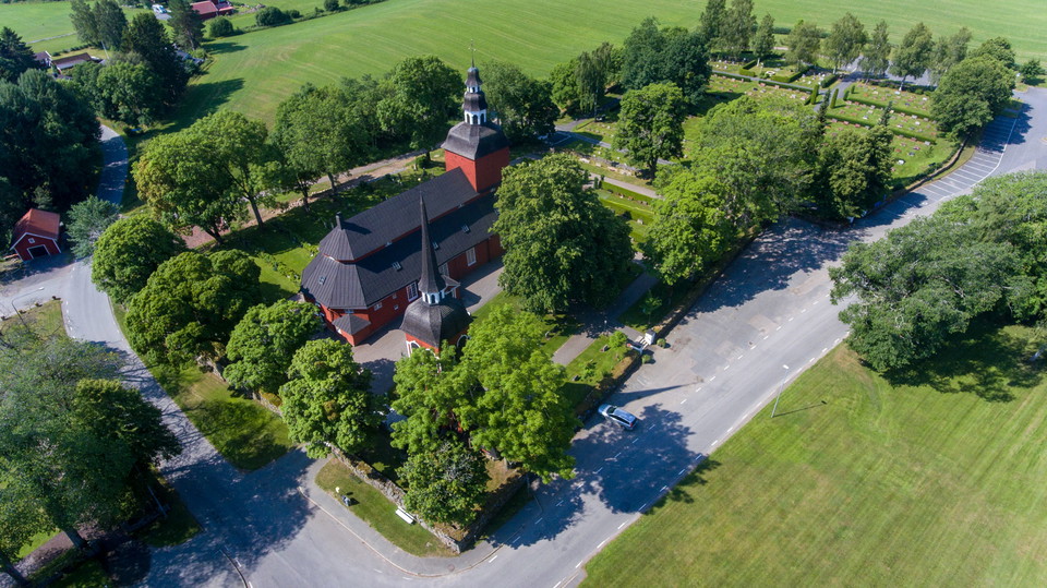
From Habo church you now follow the country road about 2 km. Holmenstugan, which is open for food and coffee some days, is about 3 km from the trail. Then turn right onto the forest road to Hökesjön, where there are swimming opportunities and a barbecue area. Then follow the path and forest road to a gravel road to Vättnet where an old soldier's village was located.
You continue on a gravel road, past the farm Slätthult, all the way to Furusjö. There you go through the community and there are bus connections and the possibility of accommodation at Sjöhaga guest house. The trail passes Furusjö Allianskyrka in the middle of the community. There is a bathing place by the lake, about 300 meters from the trail.
Aktiviteter og fasiliteter
- Fotturer
Kontakt
E-postadresse
Kultur- och fritidsförvaltningen i Habo kommun
Organisasjonens logotype

Jeg har vært her 1

Jeg ønsker å dra hit
Spørsmål og svar
Still et spørsmål til andre brukere av Naturkartan.
Omtaler
1 anmeldelse
- 5 :
- 4 :
- 3 :
- 2 :
- 1 :
Brukernes bilder
Ingen brukerbilder ennå. Bli den første til å dele!