
-
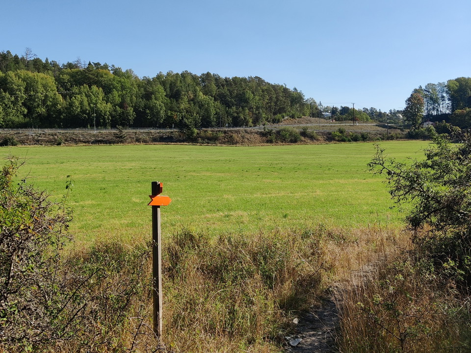
Ledmarkering med orange pil -
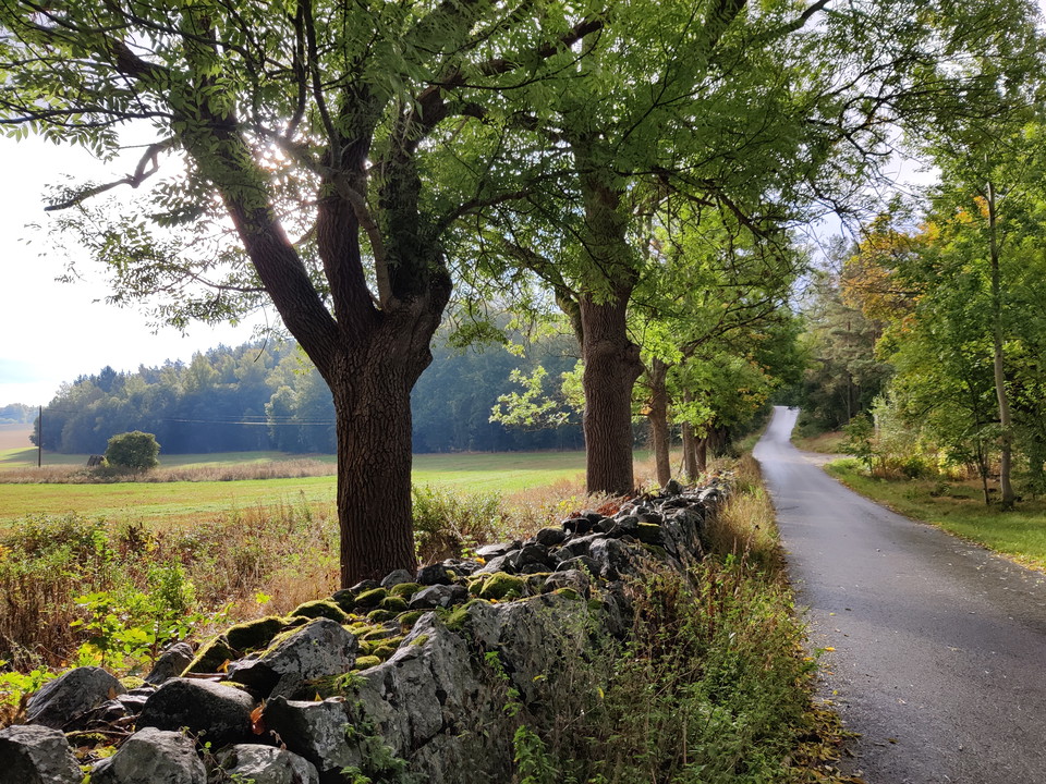
Allé på Stäksön -

Betande kor vid Broängarna -
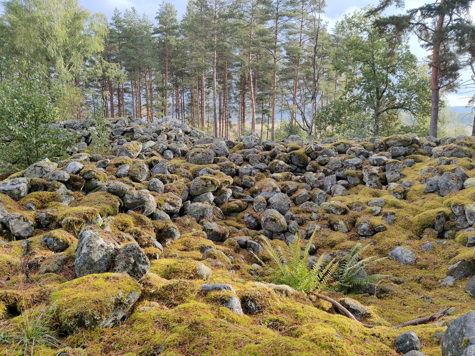
Bronsåldersröse vid Asker -
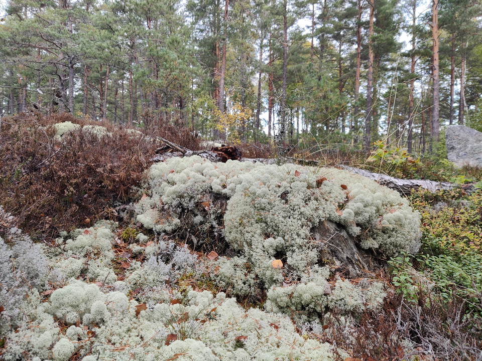
Fönsterlav i hällmarkstallskog
Upplands-Broleden
- Fotturer
- Gå
- Løping
- Fylke: Stockholms län
- 6805.36 km fra deg
Detaljer om stien
- Lengde 29.0 km
Handlinger
Beskrivelse
Upplands-Broleden, which is 29 km long, offers both nature experiences and cultural-historical environments. You walk through grazed pastures, along beautiful gravel roads and through rocky stable forest with beautiful lake views.
Large parts of the area are actively farmed. It is thanks to positive landowners that the project has been possible. Many of them have lived and farmed the land for generations. When hiking, remember not to walk in growing crops and show consideration for grazing animals. If you have a dog with you, keep it on a leash and preferably choose other routes when you arrive at a pasture with animals. Otherwise, the right of public access applies, but don't forget that it also entails a number of obligations.
Along the trail you will learn more about Bronze Age cairns, wetlands, ancient road construction, de Geer moraines and bowl pits. These are just a few of the plaques along the trail that tell you about what you are passing. The trail, which is marked in orange, runs through four nature reserves. Sometimes the hiking trail and the bridleway run on the same stretch. The bridleway is marked in yellow. Here, both riders and hikers need to show consideration for each other.
From the start of the Upplands-Broleden trail at Stäketbron, it is about 1 km to the Upplandsleden trail in Järfälla municipality.
Aktiviteter og fasiliteter
- Gå
- Løping
- Fotturer
Kontakt
Adresse
E-postadresse
Upplands-Bro kommun
Organisasjonens logotype

Jeg har vært her 8



Jeg ønsker å dra hit 27

Spørsmål og svar
Still et spørsmål til andre brukere av Naturkartan.
Omtaler
0 anmeldelser
- 5 :
- 4 :
- 3 :
- 2 :
- 1 :
Brukernes bilder
Ingen brukerbilder ennå. Bli den første til å dele!
