
-
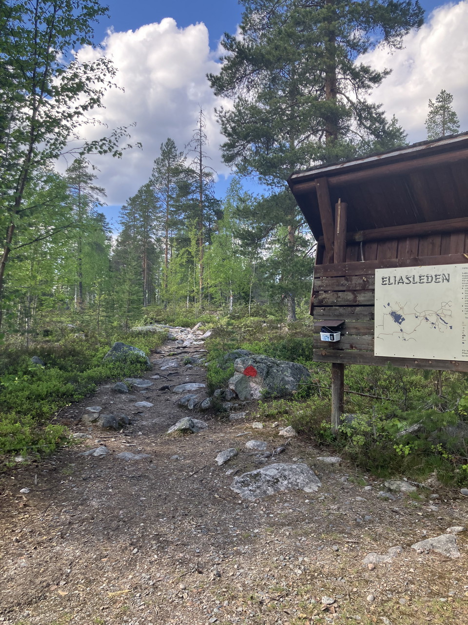
Informationsskylt
Foto: Foto Jenny Axelsson -
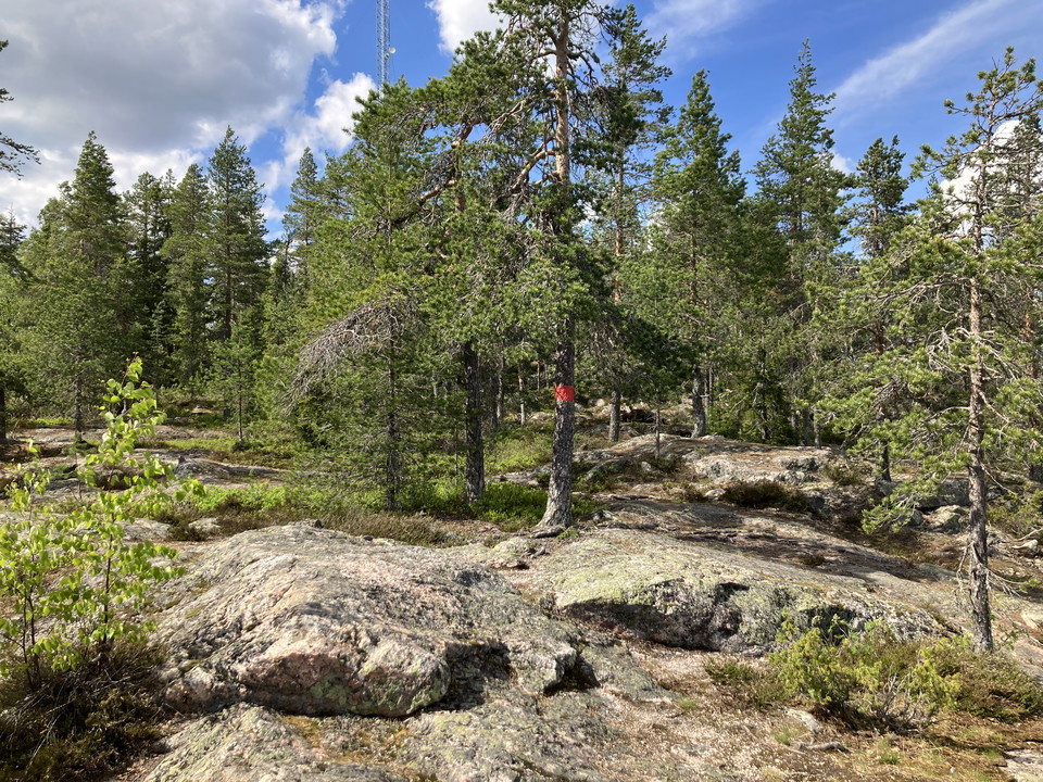
Foto: Foto Jenny Axelsson -
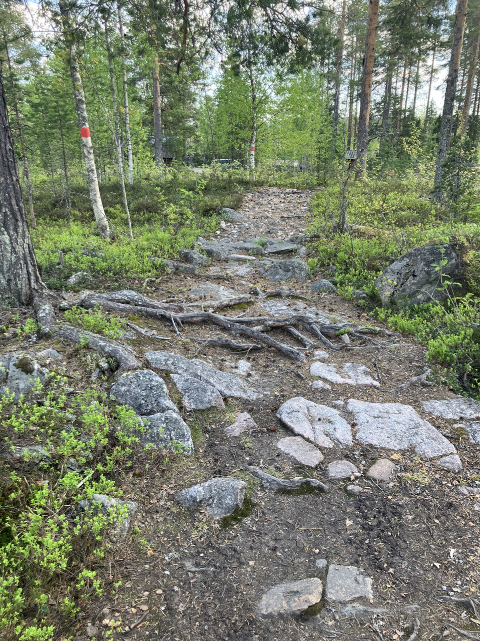
Foto: Foto Jenny Axelsson -
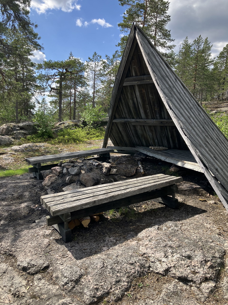
Vindskydd
Foto: Foto Jenny Axelsson -
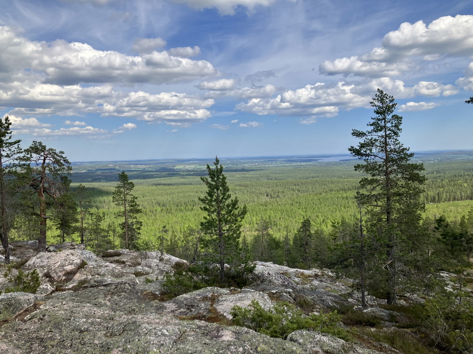
Utsikt från toppen
Foto: Foto Jenny Axelsson
Vandringsstig Kalahatten
- Fotturer
- Fylke: Norrbottens län
- 6628.27 km fra deg
Detaljer om stien
- Lengde 1.5 km
Handlinger
Beskrivelse
Aktiviteter og fasiliteter
- Fotturer
Fakta
Viewpoint mountain with a wonderful view of Svensbyfjärden and further out to sea. On the back of the mountain, just below the clearly marked coastline, is a large shingle field. There is a 4,000-year-old sacrificial site here. On the top of the mountain there are shelters and fireplaces. The path up to Kalahatten is part of the 26 km long Elias Trail.
Eliasleden is a nice hiking trail with very varied terrain that starts in Svensbyn and stretches all the way up to Kalahatten. It is possible to make many different route choices and those who want can advantageously divide the hike into two days with overnight stays along the way. The trail has a fascinating history and is named after the legendary grand thief Elias.
Veibeskrivelse
About 20 km W Piteå. Follow road 373 towards Arvidsjaur, turn off in Stockbäcken towards Kalamark. At the parking lot there is an information board and a dry toilet.
Kontakt
E-postadresse
Piteå kommun
Organisasjonens logotype

Jeg har vært her 2

Jeg ønsker å dra hit 1
Spørsmål og svar
Still et spørsmål til andre brukere av Naturkartan.
Omtaler
0 anmeldelser
- 5 :
- 4 :
- 3 :
- 2 :
- 1 :
Brukernes bilder
Ingen brukerbilder ennå. Bli den første til å dele!
