Klåveröd
- Kommune: Svalöv
- 5.9 km
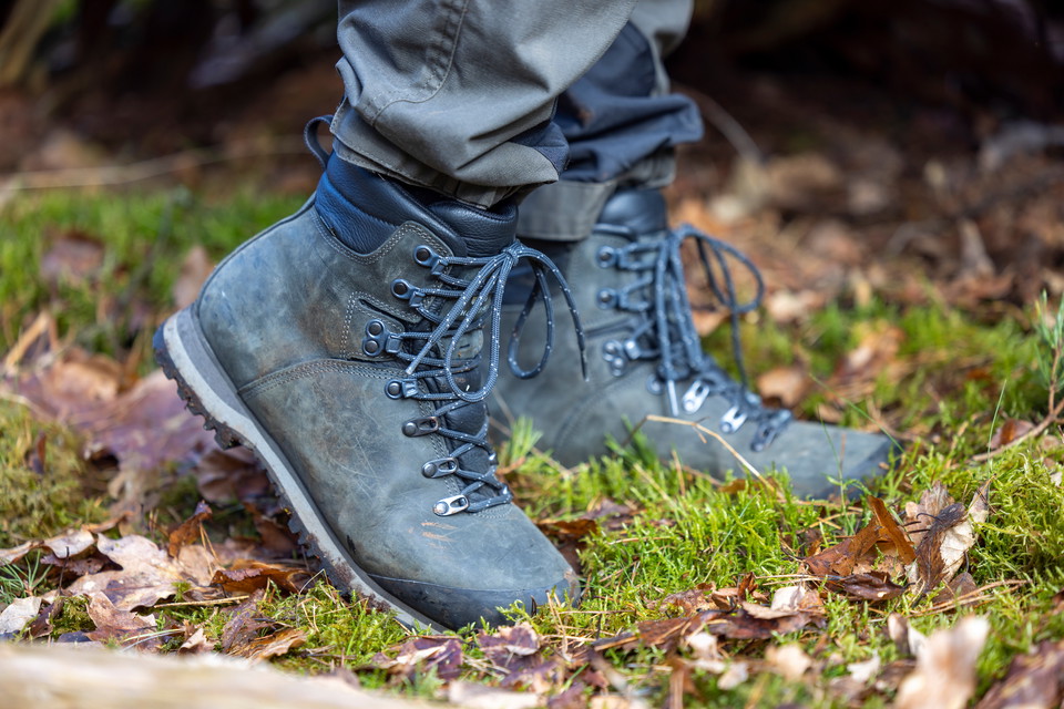
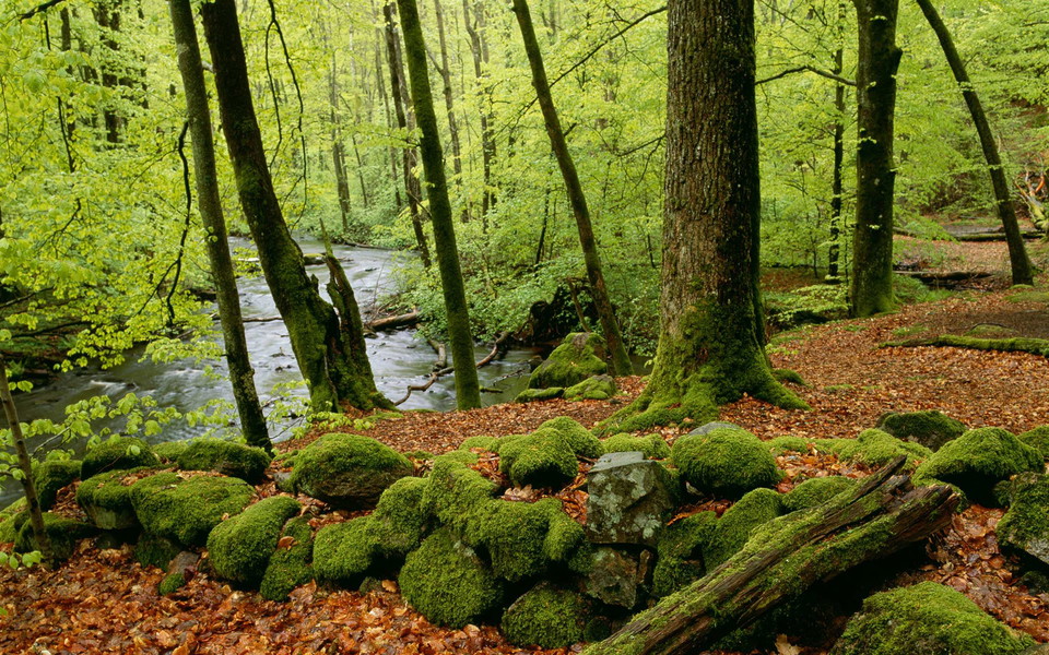
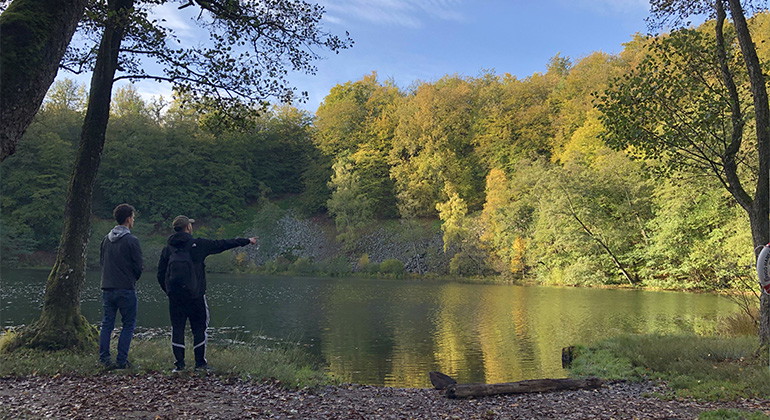
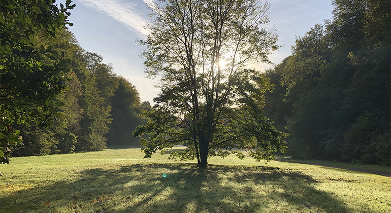
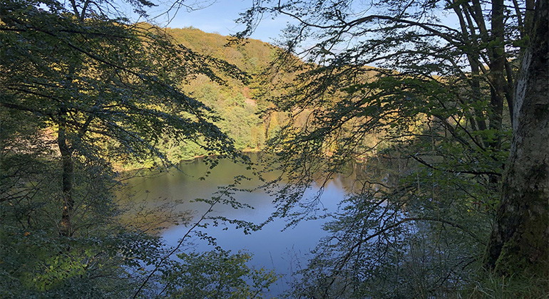
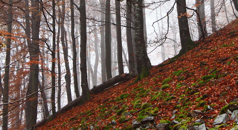
Trail between Klåveröd - Söderåsens National Park. Hilly terrain. Steep sections on nature trail. Only for experienced hikers.

Svalöv
Naturkarten samler de turstiene i Svalöv som er mest populære blant våre brukere.
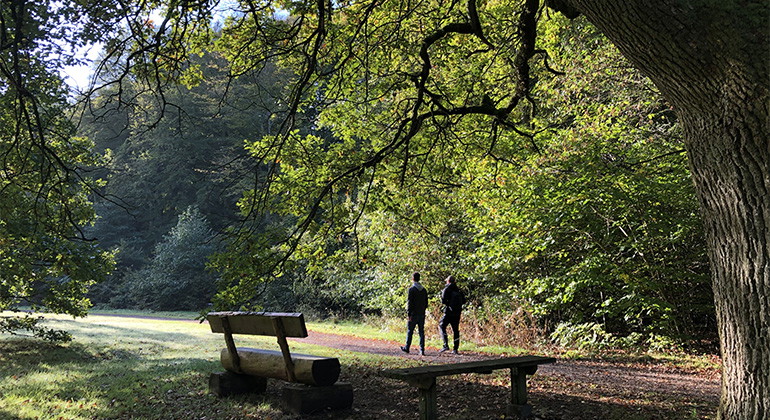
Trail between Klåveröd - Söderåsens National Park. Hilly terrain. Steep sections on nature trail. Only for experienced hikers.
Trail between Jällabjär - S Hultarp. Varying terrain. More than 50% on nature trail. Previous experience not necessary.
Easy walking trail in beautiful and varied deciduous forest. The trail passes small streams and the beautiful Härsnäs ponds where there is a quiet rest area. Large parts of the trail can be walked with a stroller from Härsnäs parking lot.
Easy walking path that runs in Nackarpsdalen with meadows, pastures and beech forest, and ends at the shore of the mythical Odensjön- A popular bathing place in the summer and you can also fish here (fishing license required). The lake has clean and clear w…
Relatively easy hiking trail that runs in beech forest and passes past pastures and meadows and includes a height difference of about 40 meters. Nice views of Lake Odensjön and you can, if you follow the white connecting trail, also get down to Lake Odensjö…
Connection between Nackarpsrundan and Odensjön.
A short, easy walk on a path and forest road that offers beautiful views of Lake Oden. It follows the same route back and forth through the beech forest between the sports ground and the lake, and is then completed with a loop above Lake Oden's cliffs. It i…
A longer, varied hiking trail that runs partly both inside and outside the national park boundaries. Here you can enjoy the peace and quiet away from the more visited parts of the national park, and it is not at all impossible that you will encounter a herd…
Naturkarten samler de turstiene i Svalöv som er mest populære blant våre brukere.