Hälsans stig - Nynäshamn
- Kommune: Nynäshamn
- 6854.82 km fra deg
- 5.9 km
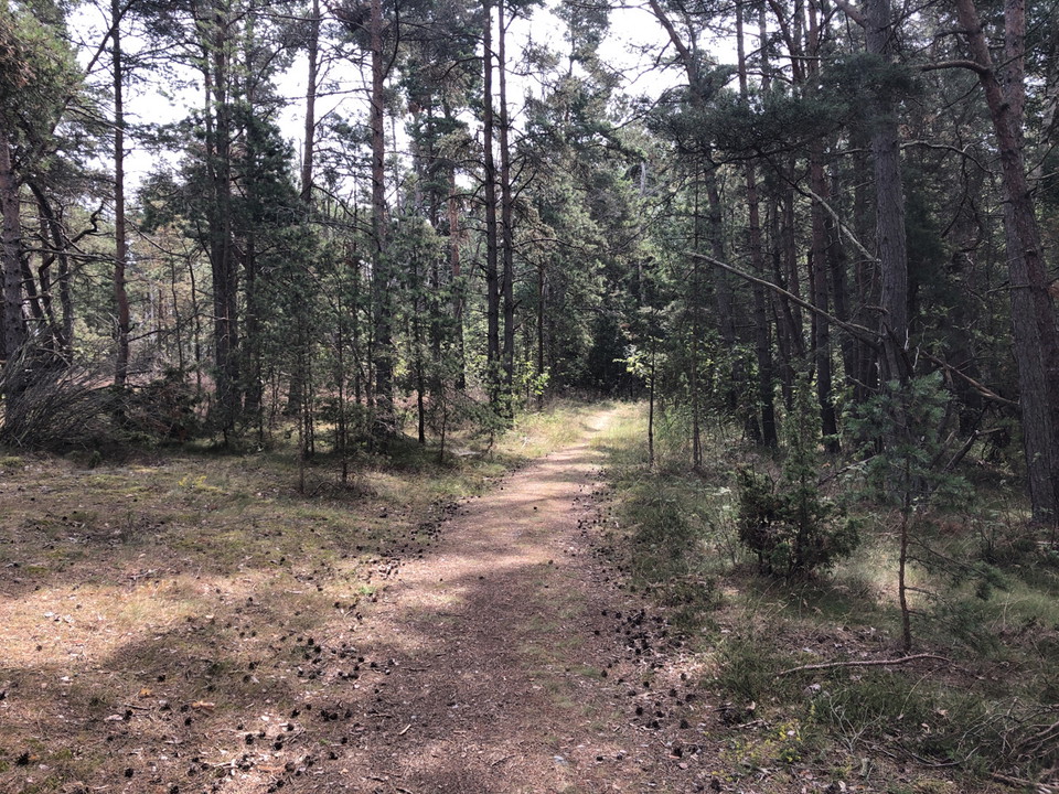
The path runs through the central parts of Nynäshamn and passes Nickstabadet

Nynäshamn
Naturkarten samler de turstiene i Nynäshamn som er mest populære blant våre brukere.
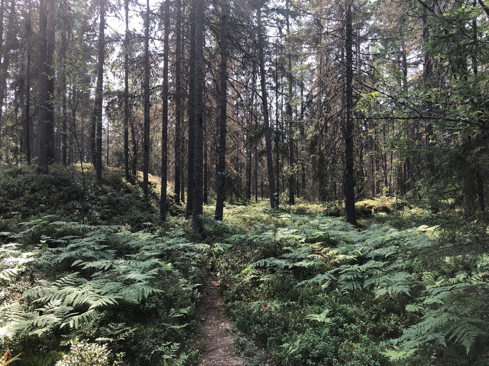
The path runs through the central parts of Nynäshamn and passes Nickstabadet
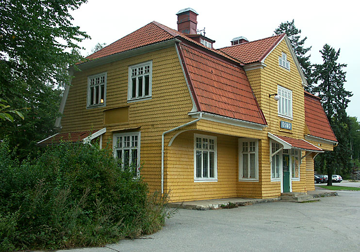
Ösmo hör till Nynäshamns kommun där det också finns en stig
This trail is part of Stockholm Archipelago Trail and managed by SAT. The trail is almost 14 kilometres long. It makes a big loop that passes by many of the island's most interesting sights. From the Landsort Bird Observatory the trail winds its way throug…
This beautiful 1 km trail loop in the Reveludden nature reserve begins at the entrance and takes you through forests and out towards open beaches with a view of the water. Along the trail, there are benches where you can rest you legs.
This hiking trail leads you into the reserve and up to Borgberget, with ruins of an ancient hillfort. The trail is about 1 km long and is marked with blue trail markers.
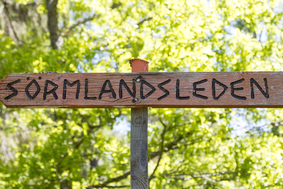
This is a short hiking trail that goes through the Österby nature reserve, from the south-west entrance to the Sörmlandsleden trail.
Naturkarten samler de turstiene i Nynäshamn som er mest populære blant våre brukere.