Jönköpings kommun

Beste turstier i Jönköpings kommun

Naturkarten samler de turstiene i Jönköpings kommun som er mest populære blant våre brukere.
Kart

85 Beste turstier i Jönköpings kommun

Fotturer

Södra Vätterleden etapp SV2 Bottnaryd - Norrahammar - En del av Smålandsleden

  • Kommune: Jönköpings kommun
  • 6711.80 km fra deg
  • 24.0 km
  • 360
  • Vanskelighetsgrad: Blå

Stage SV2 measures about 27 km and follows ancient routes such as Nissastigen and Sillastigen and others. Most of the trail goes over a coniferous plateau and closer to Norrahammar you enter the northern part of Tabergs bergslag. The trail also passes old v…

Fotturer

Södra Vätterleden etapp SV3 Norrahammar - Strömsberg - En del av Smålandsleden

  • Kommune: Jönköpings kommun
  • 6727.89 km fra deg
  • 14.5 km
  • 220
  • Vanskelighetsgrad: Blå

Stage SV3 between Norrahammar and Strömsberg is a shorter stage that can be extended through Tabergsrundan. You pass places that are linked to Tabergs Bergslag where ore began to be mined as early as the 1400s. In 1890 the mine was closed but during the Se…

Fotturer

Södra Vätterleden etapp SV4 Strömsberg - Huskvarnaberget - En del av Smålandsleden

  • Kommune: Jönköpings kommun
  • 6730.84 km fra deg
  • 13.5 km
  • 200
  • Vanskelighetsgrad: Blå

Stage SV4 is the most hilly of Södra Vätterleden. Here you pass Järabacken and Bondberget nature reserve with many exercise trails. The trail goes through the southern parts of Huskvarna and passes the Husqvarna factory museum which is worth a visit. Here a…

Fotturer

John Bauerleden etapp JB1 Huskvarnaberget - Råbyskogen - En del av Smålandsleden

  • Kommune: Jönköpings kommun
  • 17.9 km
  • 270
  • Vanskelighetsgrad: Blå

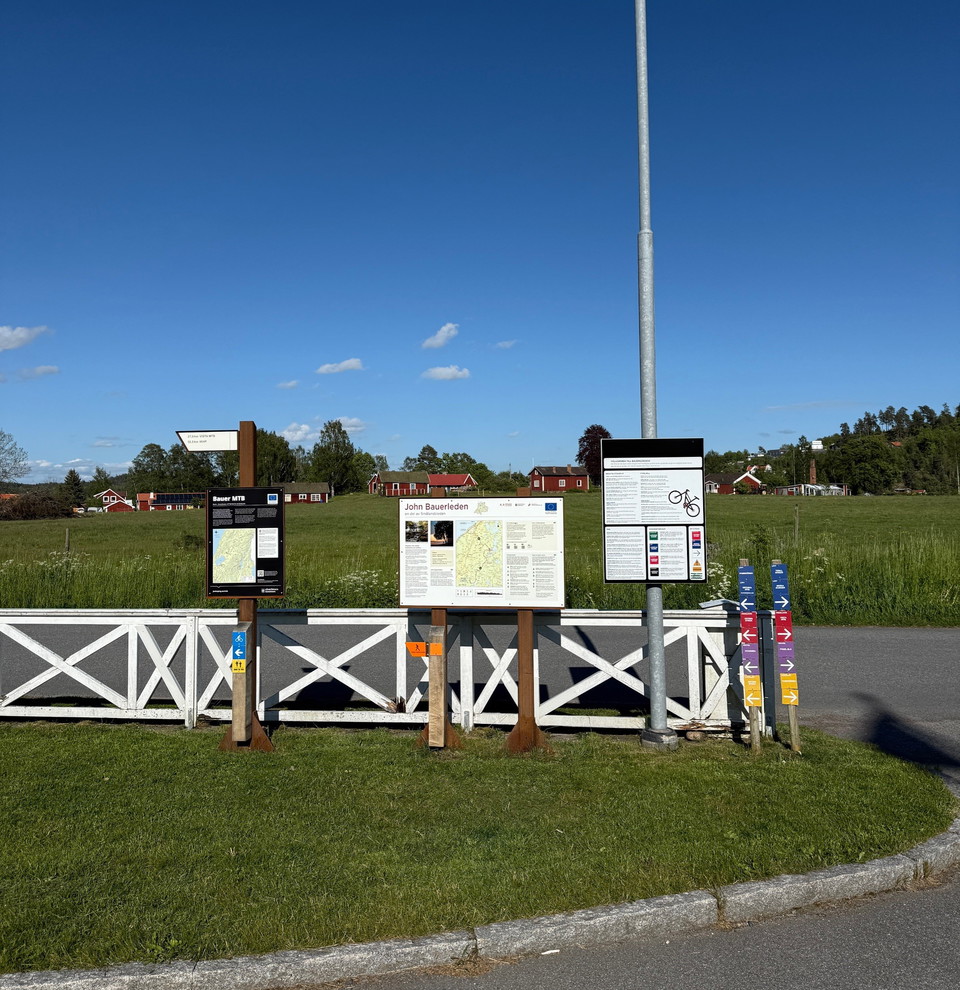
John Bauerleden stage 1 starts at Huskvarnaberget by the IKHP cabin, where there is ample parking and access to exercise trails for both running and MTB. The route to Råbyskogen Nature Reserve is approximately 18 km long and passes through enchanting forest…

Fotturer

John Bauerleden etapp JB2 Råbyskogen - Bunn - En del av Smålandsleden

  • Kommune: Jönköpings kommun
  • 6734.85 km fra deg
  • 14.9 km
  • 240
  • Vanskelighetsgrad: Blå

John Bauerleden stage 2 starts/ends at Råbyskogen nature reserve. There is parking and a toilet here, which is managed by the County Administrative Board of Jönköping. There is a circular trail of about 2 km through the nature reserve and you can also visit…

Fotturer

John Bauerleden etapp JB3 Bunn - Röttle - En del av Smålandsleden

  • Kommune: Jönköpings kommun
  • 6728.66 km fra deg
  • 14.9 km
  • 230
  • Vanskelighetsgrad: Blå

Stage 3 of the John Bauer Trail stretches between Bunn and Röttle village and is about 15 km. Bunn is associated with John Bauer as it was here he took much of his inspiration, here also passed the Gripenbergsbanan when it happened. The hike goes through a…

Fotturer

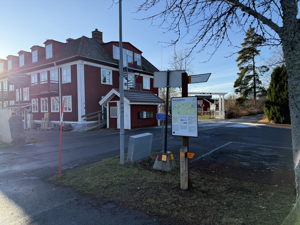
Holavedsleden etapp HO1 Grännaberget - Örserum - En del av Smålandsleden

  • Kommune: Jönköpings kommun
  • 11.6 km
  • 175
  • Vanskelighetsgrad: Blå

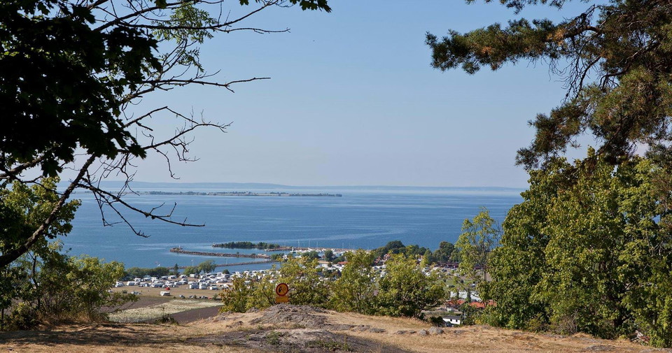
The first stage of the Holavedsleden starts on Grännaberget above Gränna, where you are offered magnificent views of Vättern and Visingsö right from the start. Here you will also pass Tegnértornet, a classic viewing tower that provides an extra mile-wide pa…

Fotturer

Holavedsleden etapp HO2 Örserum - Adelöv - En del av Smålandsleden

  • Kommune: Jönköpings kommun
  • 6736.15 km fra deg
  • 6.6 km
  • 100
  • Vanskelighetsgrad: Grønn

From Örserum, the Holavedsleden trail continues south through a rolling landscape where forests, lakes and open pastures alternate. The terrain is somewhat easier here than on the previous stage, but still offers variety and beautiful natural environments.…

Fotturer

Avstickare Mohemmet

  • Kommune: Jönköpings kommun
  • 6709.23 km fra deg
  • 0.1 km

Detour Mohemmet Detour of 140 m (one-way) to a rest area at Lake Stråken.

Fotturer

Anslutning Örserum - HO1/HO2/A1

  • Kommune: Jönköpings kommun
  • 2.2 km

Connecting trail from Örserum to Holavedsleden and Anebyleden. This connection starts at Smålandsgården and Örserum's well and takes you to a large information board at the bus stop in Örserum C. Furthermore, you can get to Anebyleden stage A1 with later co…

Fotturer

Anslutning Råbyskogen - JB1/JB2

  • Kommune: Jönköpings kommun
  • 0.7 km

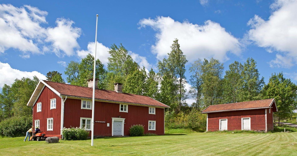
Råbyskogen's nature reserve is managed by the County Administrative Board of Jönköping County. There is a short loop and a croft that remains as it was left by the brothers who lived there until the 90s. Skärstads hembygdsförening manages the croft and ther…

Fotturer

Anslutning Åsabadet - SV2/SV3

  • Kommune: Jönköpings kommun
  • 1.1 km

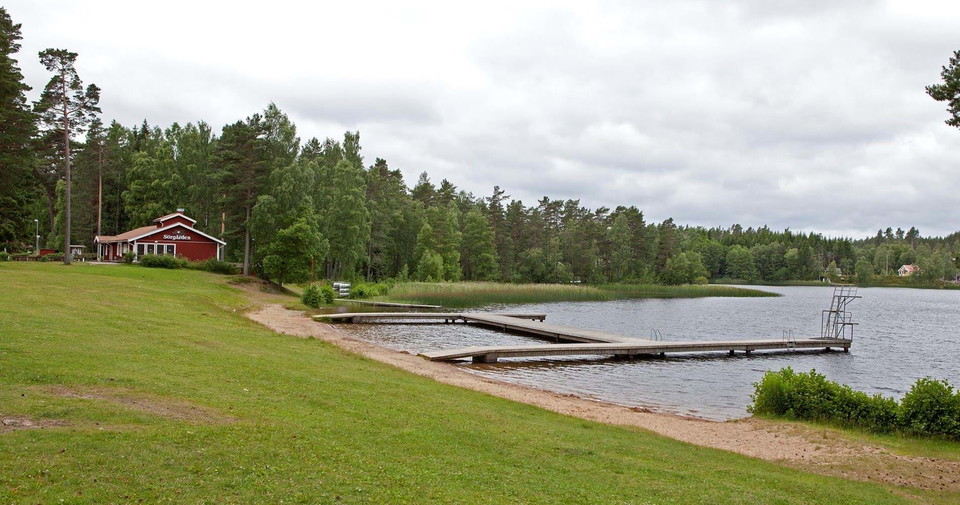
Åsabadet is a popular swimming spot near Sörgården on Lake Sörsjön. The swimming area features a beautiful sandy beach with piers, and nearby you’ll find picnic tables, restrooms, parking, and the “Norrahammar Åsabadet” bus stop. Sörgården has a kiosk that…

Fotturer

Anslutning Strömsberg - SV3/SV4

  • Kommune: Jönköpings kommun
  • 1.0 km

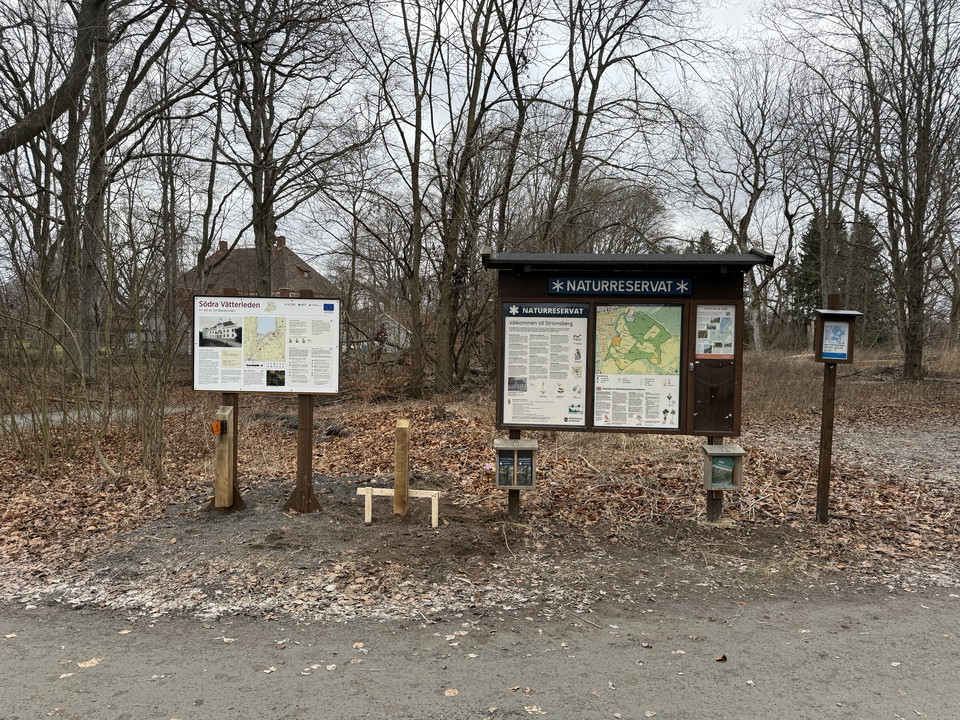
Naturreservatet Strömsberg i södra kanten av Jönköping är ett lättillgängligt och välbesökt område. Reservatet präglas av ett kulturlandskap med en ovanligt artrik skog där nästan alla trädarter i Sverige finns representerade. Strömsberg är ett relativt kup…

Fotturer

Anslutning Bauergården JB2/JB3

  • Kommune: Jönköpings kommun
  • 6736.08 km fra deg
  • 0.3 km

Connecting trail between John Bauerleden and Bauergården trail entrance, which is a hotel and conference facility. Here you can usually fill up with water, there is a parking lot for motorhomes and a swimming area nearby.

Fotturer

Alternativ John Bauer leden etapp JB1

  • Kommune: Jönköpings kommun
  • 2.6 km

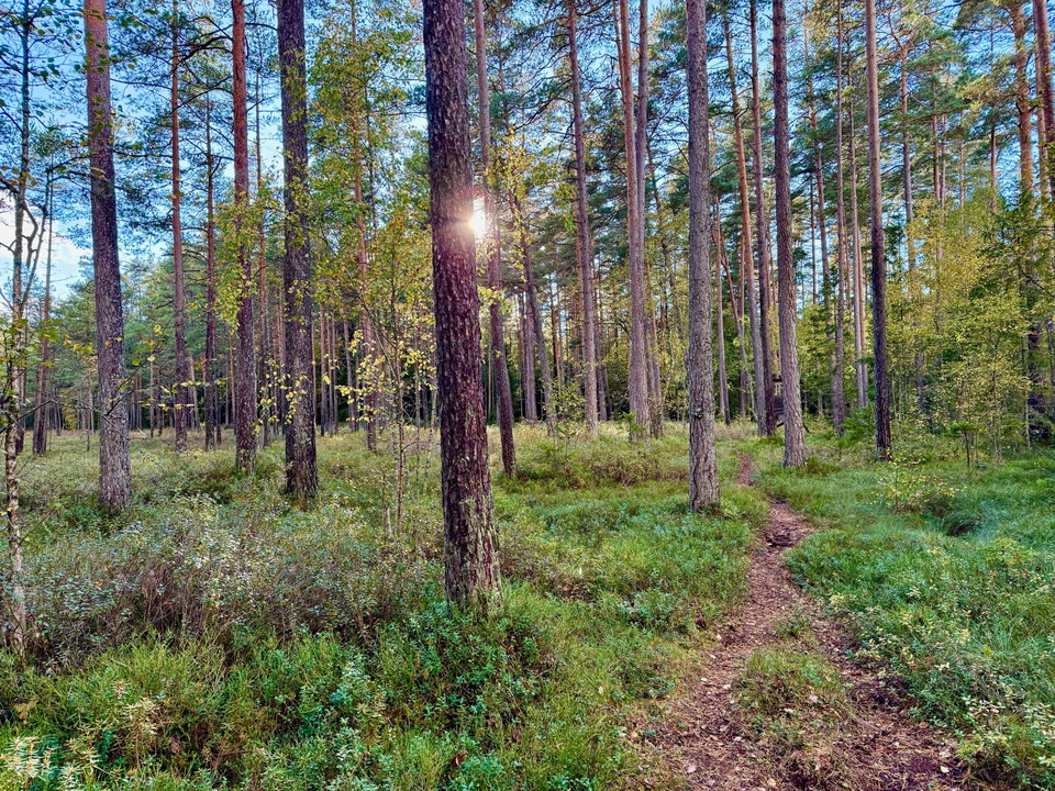
This is an alternative trail that takes you through a beautiful marsh, where you follow a path and an old cart road.

Beste turstier i Jönköpings kommun

Naturkarten samler de turstiene i Jönköpings kommun som er mest populære blant våre brukere.
Naturkartan

Åpne dette i appen