Gislaved

Beste turstier i Gislaved

Naturkarten samler de turstiene i Gislaved som er mest populære blant våre brukere.

Kart

33 Beste turstier i Gislaved

Opplyst spor

Motionsspår Smålandsstenar

  • Kommune: Gislaved
  • 2.5 km

Exercising outdoors provides both fresh air and great physical activity. In Gislaved Municipality, there are many beautiful places to enjoy outdoor exercise. The running and walking trails are intended for jogging, running, and walking. Cycling and horse ri…

Opplyst spor

Motionsspår Broaryd

  • Kommune: Gislaved
  • 0.7 km

Exercising outdoors provides both fresh air and great physical activity. In Gislaved Municipality, there are many beautiful places to enjoy outdoor exercise. The running and walking trails are intended for jogging, running, and walking. Cycling and horse ri…

Opplyst spor

Motinsspår Burseryd

  • Kommune: Gislaved
  • 6712.34 km fra deg
  • 1.8 km

Att träna utomhus ger både frisk luft och god motion. I Gislaveds kommun finns det många vackra platser att motionera på. Motionsspåren är till för löpning och promenader. Du får inte cykla eller rida i motionsspåren.

Fotturer

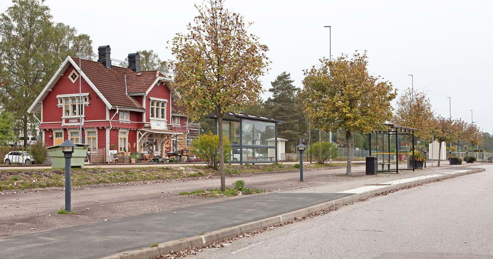
Anslutning Hestra station - G1/J1

  • Kommune: Gislaved
  • 6716.18 km fra deg
  • 0.5 km

An unmarked section between the main road and Hestra station. The distance is 0.5 km (one way). Both buses and trains stop at the station.

Fotturer

Avstickare Boberg

  • Kommune: Gislaved
  • 0.1 km

A marked detour of about 70 m (one way) to a shelter at Boberg. Facilities Color marking Type of trail Hiking trail Difficulty level Easy Surface Wide forest path

Fotturer

Avstickare Leabo sand

  • Kommune: Gislaved
  • 6711.69 km fra deg
  • 0.0 km

A marked detour of about 30 m (one way) to a shelter. Facilities Color marking Type of trail Hiking trail Difficulty level Easy Surface Wide forest path

Fotturer

Avstickare Sandvik

  • Kommune: Gislaved
  • 0.2 km

An unmarked detour of 0.2 km (one way) to a water tap.

Fotturer

Gislavedsleden etapp G1 Hestra - Gislaved - En del av Smålandsleden

  • Kommune: Gislaved
  • 6716.01 km fra deg
  • 16.7 km
  • 250
  • Vanskelighetsgrad: Blå

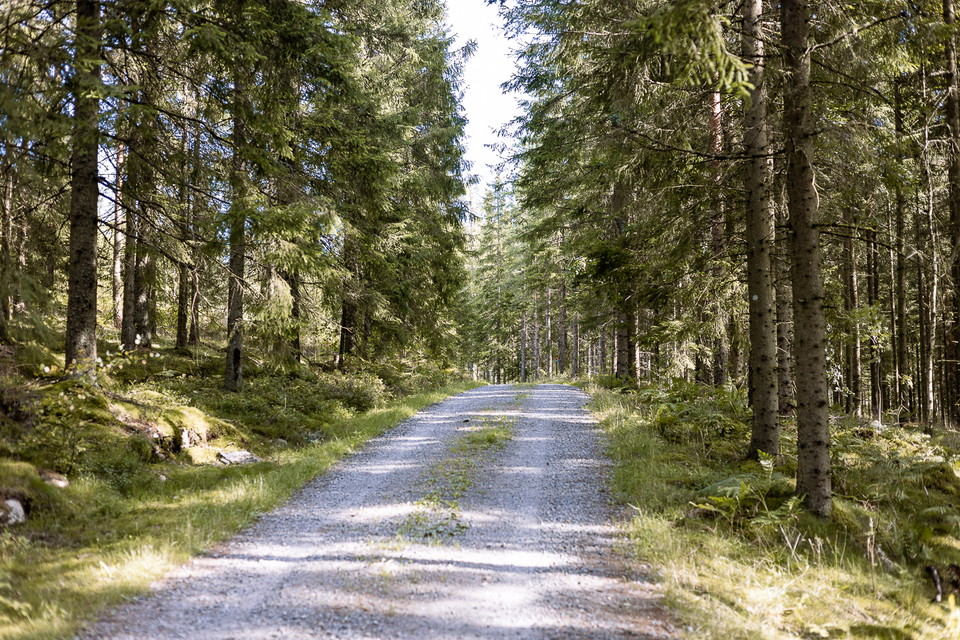
The stage starts at Isaberg, which is a rocky hill rising 150 meters above the surroundings. The northern part of the route is dominated by magical coniferous forest and the southern part by Småland village landscape. You walk mainly on forest paths and gra…

Fotturer

Gislavedsleden etapp G2 Gislaved - Arnåsholm - En del av Smålandsleden

  • Kommune: Gislaved
  • 6712.42 km fra deg
  • 22.2 km
  • 330
  • Vanskelighetsgrad: Blå

This stage runs in a coniferous forest-dominated area along the beautiful Majsjön on mainly forest paths and gravel roads. Drinking water is available at the first farm you come to in the small village of Arnåsholm, which is located between the two lakes Ha…

Fotturer

Gislavedsleden etapp G3 Arnåsholm - Sandvik - En del av Smålandsleden

  • Kommune: Gislaved
  • 6706.70 km fra deg
  • 27.6 km
  • 415
  • Vanskelighetsgrad: Blå

The stage starts in Arnåsholm, which is located between the two lakes Harasjön and Sävsjön. There is a bus stop here for those who want to start or end their hike here. The campsite Leabo Sand, to the south, provides wind shelters, barbecue pits and dry toi…

Fotturer

Gislavedsleden etapp G4 Sandvik - Fegen - En del av Smålandsleden

  • Kommune: Gislaved
  • 6704.72 km fra deg
  • 15.1 km
  • 230
  • Vanskelighetsgrad: Blå

During this stage you continue your walk through the stunning nature reserve of Fegen. You walk through several villages with beautiful views of Lake Fegen. In Barslida the trail splits. You can choose to continue your hike to the community of Fegen, locat…

Fotturer

Anslutning Gislaved Ledentré - G1/G2

  • Kommune: Gislaved
  • 6716.31 km fra deg
  • 4.7 km

This connection takes you from Gislaved to Gislavedsleden and entrance Botåsen. There are parking lots adjacent to this entrance. If you want to continue towards Gislved station and the city center, there is an unmarked trail here

Fotturer

Anslutning Gislavedsleden - Hallandsleden (Kinnared)

  • Kommune: Gislaved
  • 6707.42 km fra deg
  • 18.8 km

This approximately 19 km long connection links Hallandsleden with Smålandsleden just outside the community of Kinnared in Hylte municipality. Kinnared has a bus and train station. However, the last few kilometers of the trail that crosses the landscape bord…

Beste turstier i Gislaved

Naturkarten samler de turstiene i Gislaved som er mest populære blant våre brukere.

Naturkartan

Åpne dette i appen