Beste turstier i Botkyrka

Botkyrka

Naturkarten samler de turstiene i Botkyrka som er mest populære blant våre brukere.

Bilder

Kart

28 Beste turstier i Botkyrka

Kultursti

Botkyrka kulturspår -Fittja

  • Kommune: Botkyrka
  • 6830.54 km fra deg
  • 5.0 km

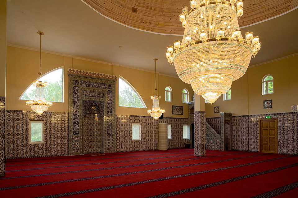
On this five-kilometer hike, you'll see one of the largest rock carvings in the Stockholm region, Slagsta Rock Carving. You will also pass Slagsta farm and see traces of brick making. The trail follows the Mälar Promenade to the beautiful Fittja Mosque on t…

Fotturer

Lilla dalens -slingan

  • Kommune: Botkyrka
  • 6832.66 km fra deg
  • 2.7 km

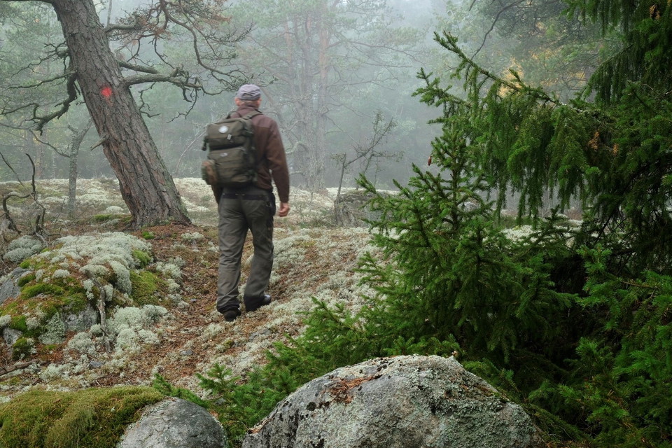
In the middle of the concrete jungle in Alby and Tumba you will find this gem of a hiking trail. Here you walk through airy forest edges among birches and oaks, over moss-covered hollows with dense spruces. Up on the rocky ground, old low-growing pines grow…

Fotturer

Hälsans stig - Storvreten

  • Kommune: Botkyrka
  • 6833.39 km fra deg
  • 5.7 km

The loop in Storvreten is 5 km and each km is marked out

Fotturer

Vandringsstig, Pålamalm

  • Kommune: Botkyrka
  • 6840.24 km fra deg
  • 0.6 km
  • Vanskelighetsgrad: Grønn

A marked trail through the Pålamalm nature reserve that leads to the kettle hole.

Fotturer

Vandringsstig, Brinkbäcken

  • Kommune: Botkyrka
  • 6838.53 km fra deg
  • 0.3 km

This short path leads you from the northern entrance through the Brinkbäcken nature reserve. The path ends at the southern entrance. The path is marked with red ribbons.

Fotturer

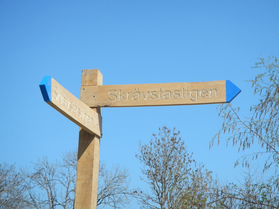
Skrävstastigen

  • Kommune: Botkyrka
  • 6830.96 km fra deg
  • 2.3 km

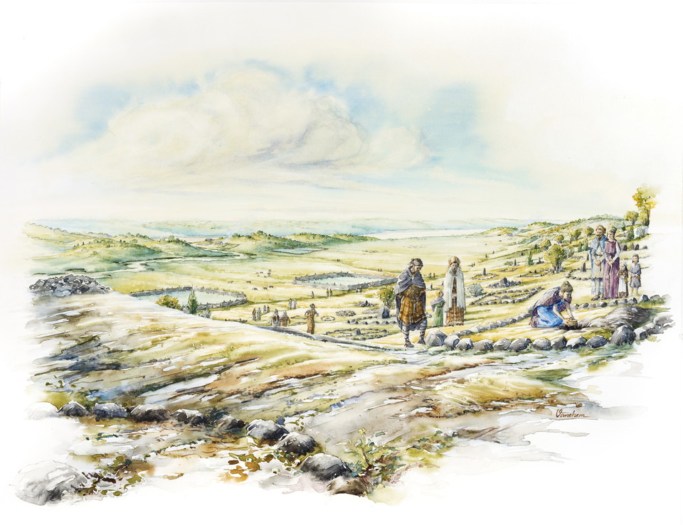
People have lived in Hågelby and Skrävsta for thousands of years. By walking the Skrävsta Trail, you will learn more about the prehistory and natural values of this area. You can learn more about important sites during the Iron Age, such as the large guest…

Fotturer

Saltbergstigen

  • Kommune: Botkyrka
  • 6831.15 km fra deg
  • 2.6 km

The path runs in and near Hågelby hage, which is a natural pasture that the municipality has restored. Today, cows are once again grazing in the pasture. They graze on the edge of the forest so that the land is kept open. This benefits the plants and animal…

Fotturer

Tingshagenstigen

  • Kommune: Botkyrka
  • 6831.87 km fra deg
  • 2.4 km
  • Vanskelighetsgrad: Blå

The Tingshage path is a connecting path between the Hågelby and Flottsbro area. From paved walkways to gravel roads and forest paths. Through idyllic open landscapes with wide views of farmland and horse pastures, you enter airy rocky forests, peppered with…

Beste turstier i Botkyrka

Naturkarten samler de turstiene i Botkyrka som er mest populære blant våre brukere.

Naturkartan

Åpne dette i appen