Stig till Stormörtsjökullens topp
- Kommune: Ånge
- 6580.82 km fra deg
- 2.5 km
- Vanskelighetsgrad: Rød
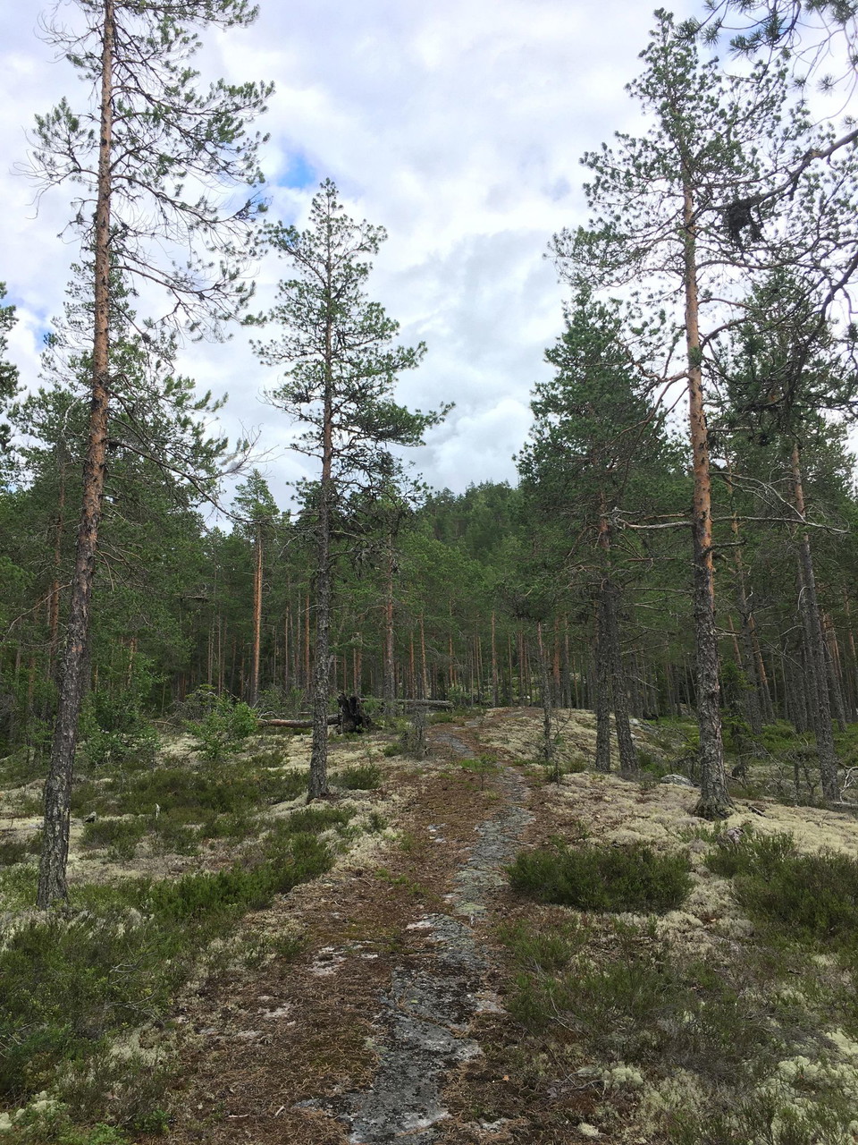
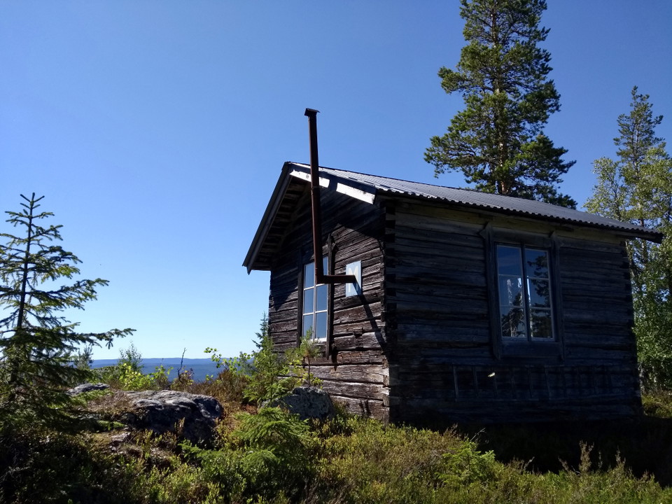
Fin stig som leder upp till en fantastisk utsikt på Medelpads näst högsta berg.

Ånge
Naturkarten samler de turstiene i Ånge som er mest populære blant våre brukere.
Fin stig som leder upp till en fantastisk utsikt på Medelpads näst högsta berg.
Parteboda village association's Health Trail that can be varied, this part is 5 km. There is also an outdoor gym along this part of the trail.
The long hiking trail St. Olovsleden passes through Ljungaverk. If you want to go for a short walk that partly follows the trail, you can go down Storholmsvägen from Ljungavägen. Just before the road goes under the bridge, the hiking trail turns off on a pa…
A magical view is the reward after the sometimes steep kilometer-long walk to the viewpoint at Öberget. Be careful on your hike as the path is sometimes narrow and it is steep in places.
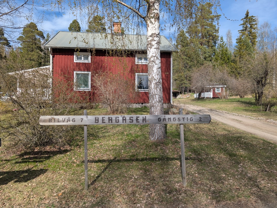
**Bergåsen 498 m above sea level A view worth the hike! At the top there is a viewing tower, windbreak and bench. The viewing tower is entered at your own risk.
blue
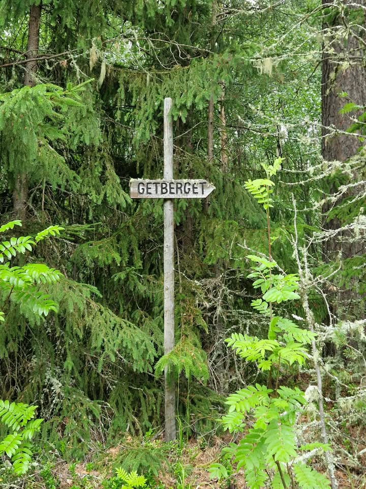
The trail starts at the water tower in Ljungaverk and goes all the way up to Getberget's top cabin. Parking is available on the E14 opposite the road up to the water tower.
Parteboda village association's Health Trail, which can be varied - this part of the loop is about 1.8 km.
2 km hike. Old fire watch cabin at the top. View towards the mountains.
Naturkarten samler de turstiene i Ånge som er mest populære blant våre brukere.