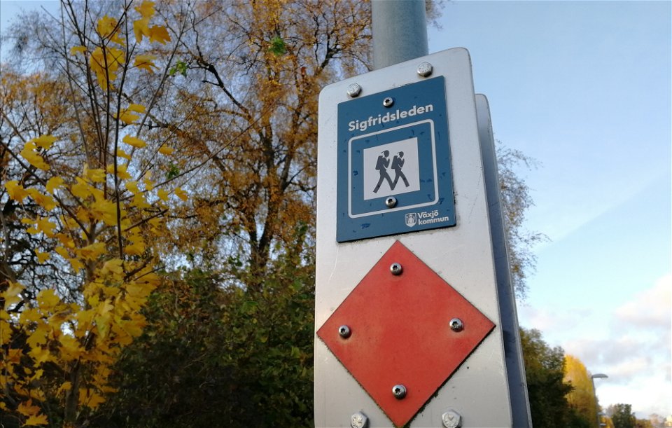
Sigfridsleden
Fotturer
- Fylke: Kronobergs län
- 6444.45 km fra deg
Detaljer om stien
- Lengde 102.0 km
- Vanskelighetsgrad Blå - medium
Handlinger
Beskrivelse
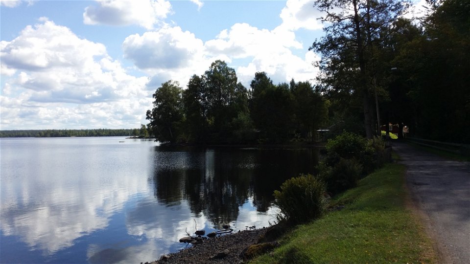
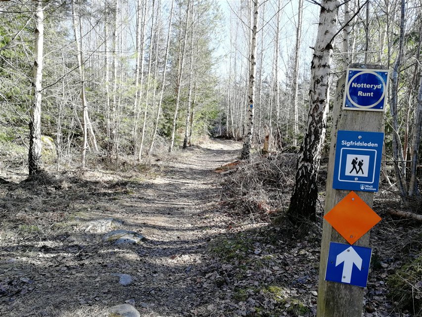
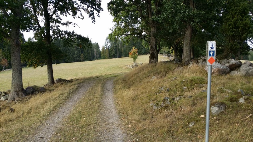
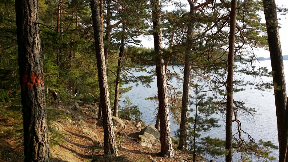
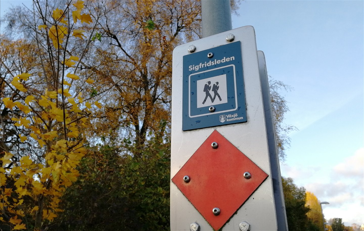
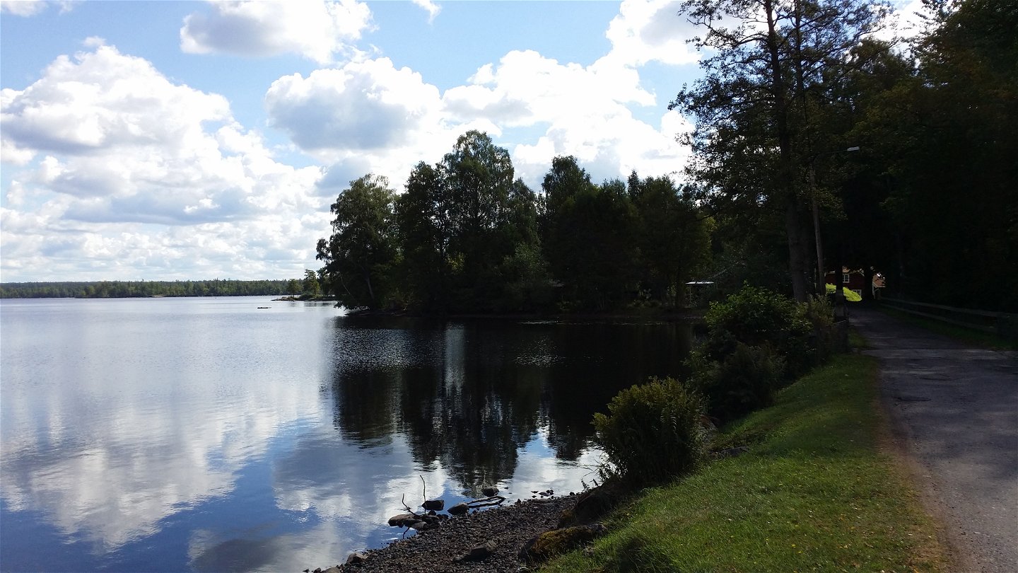
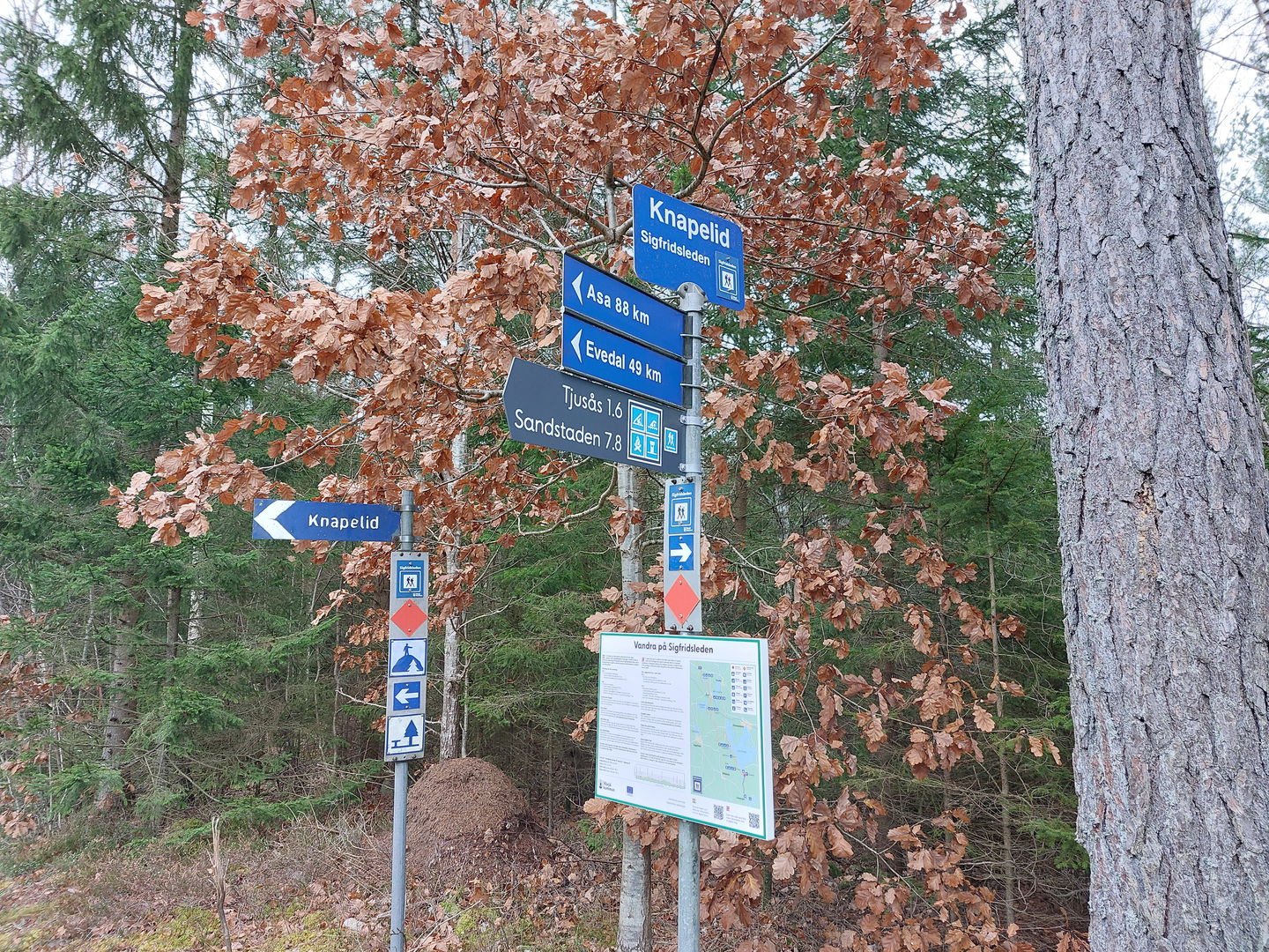
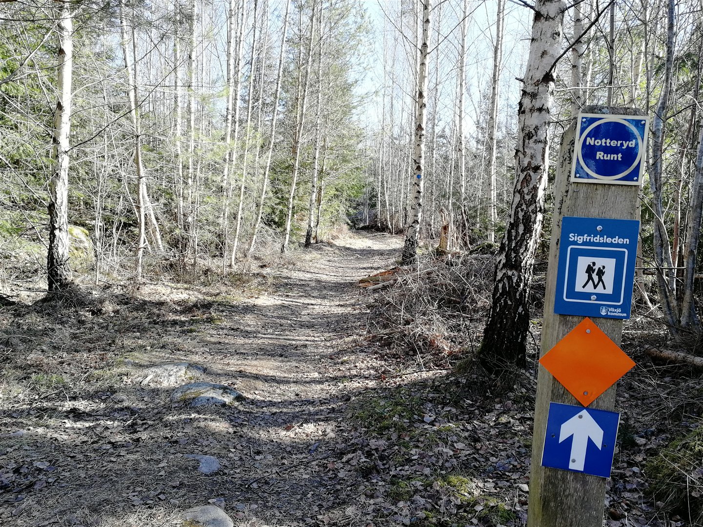
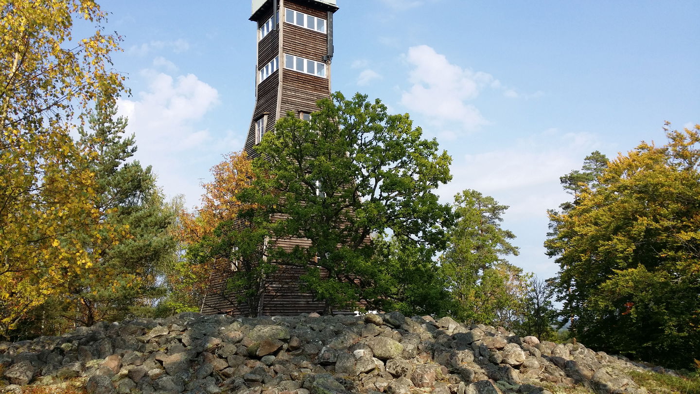
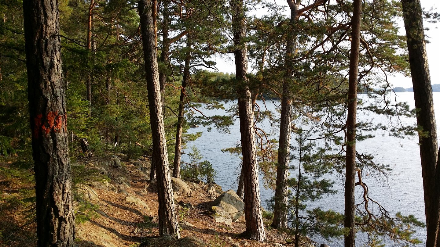
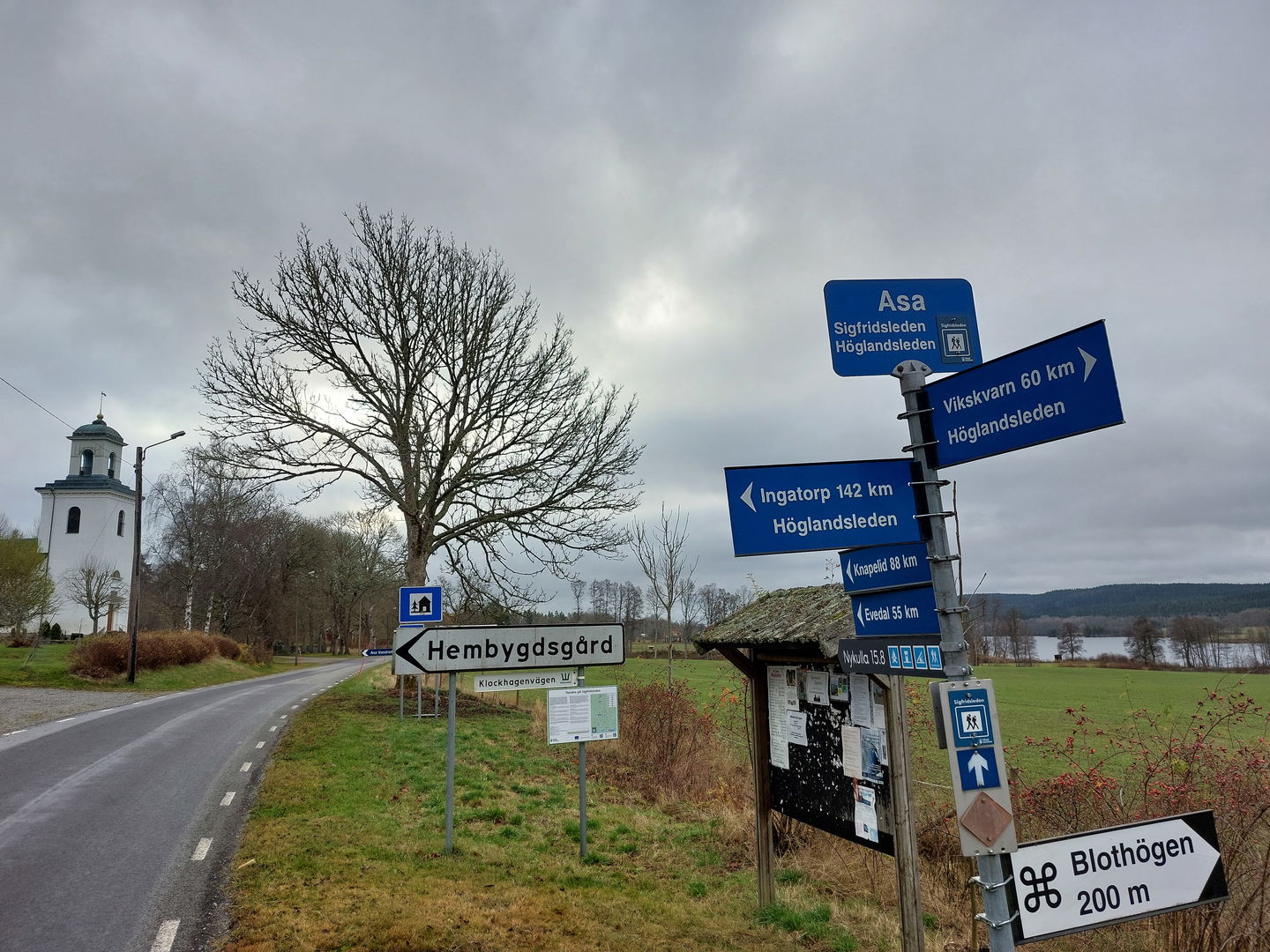
The Sigfridsleden Trail is primarily a hiking trail, but works fine for mountain bikes, as well, provided you remember to show consideration to hikers, and to the natural beauty you pass. The length of the trail is about 88 kilometres, with a 14 kilometre connection via the narrow-gauge railway route to Evedal and the cathedral in Växjö. The Sigfridsleden Trail is a part of a network of hiking trails through Småland and also historically is a little part of the pilgrim trails that stretch from Spain to Nidarosdomen in Trondheim, Norway. The municipality’s only hiking trail goes through six parishes in Värend and passes many points of cultural and historical interest. At Notteryd and beautiful Skråhallabergen, the trail divides, continuing north toward Asa, and south toward Knapelid. This trail connects with the Emigrant trail in the south, and with the Höglandsleden trail in the north, at Asa.
Aktiviteter og fasiliteter
-
Fotturer
-
Terrengsykling
-
Terrengløping
Fakta
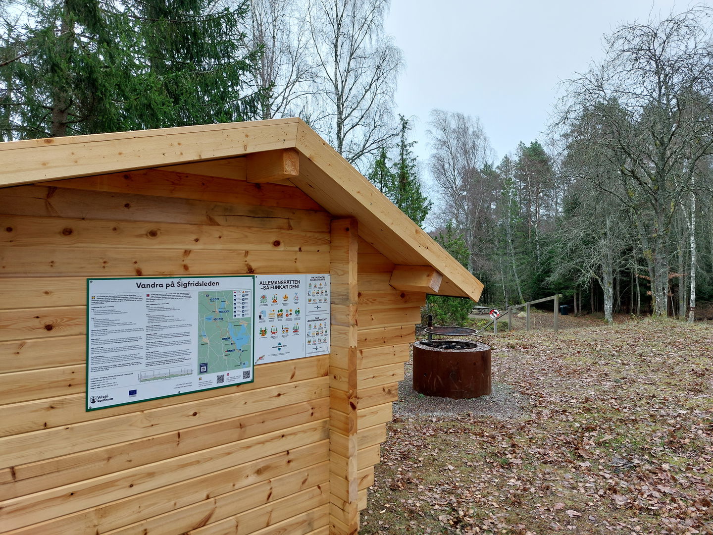
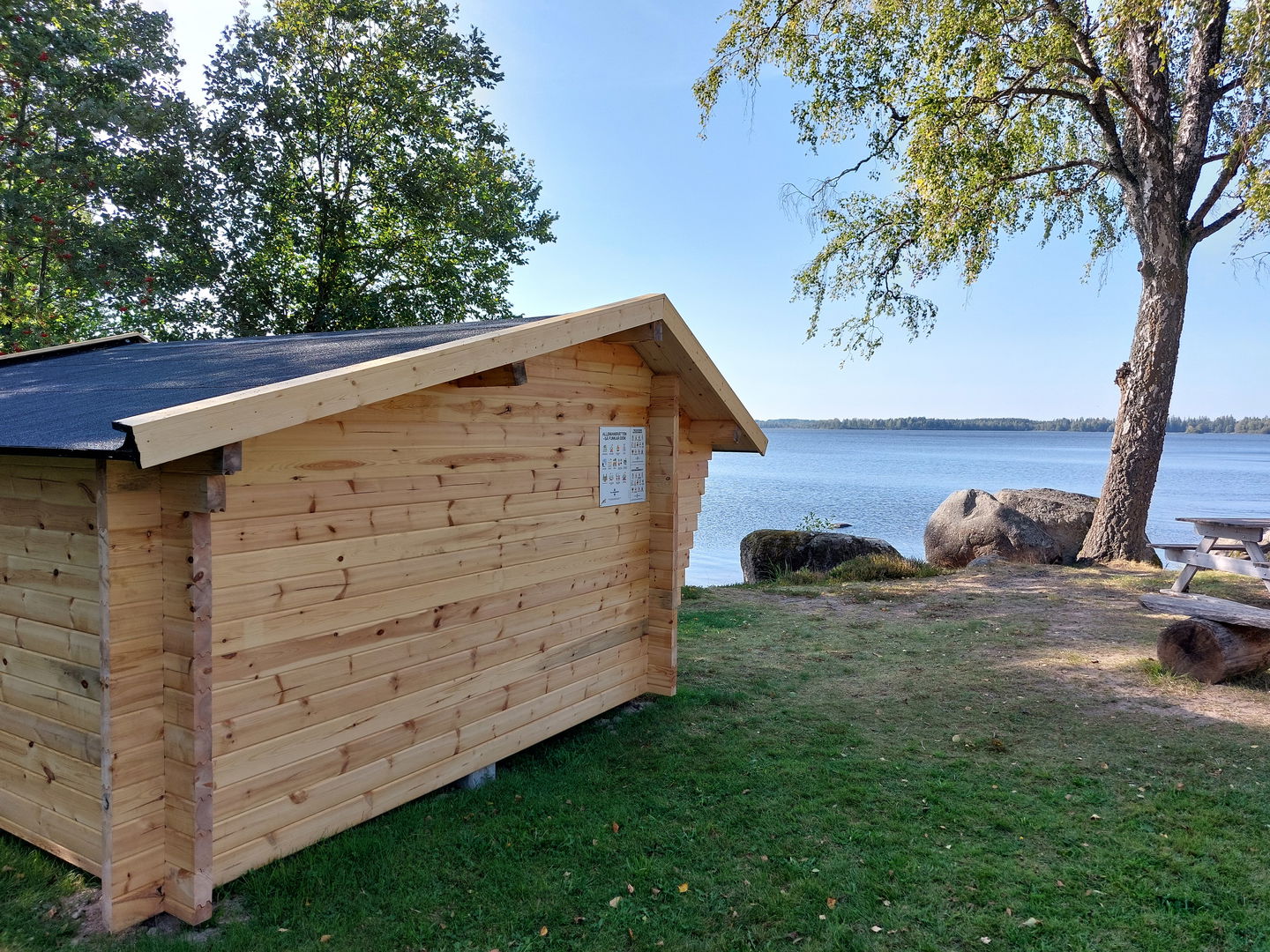
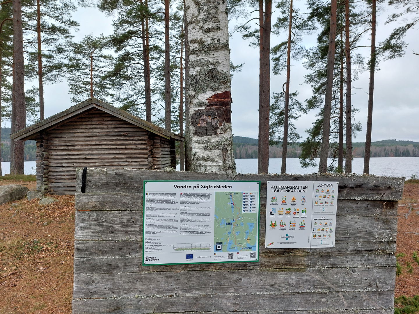
In the fall of 2024, 25 stage entrance signs and 7 signposts were installed along the hiking trail. 3 new shelters have been built at Tjusås, Sandvik and Stocke bathing place. All innovations facilitate logistics for overnight stays and access to trail information along the hiking trail. The project has been financed with support from Tillväxtverket.
Underlag
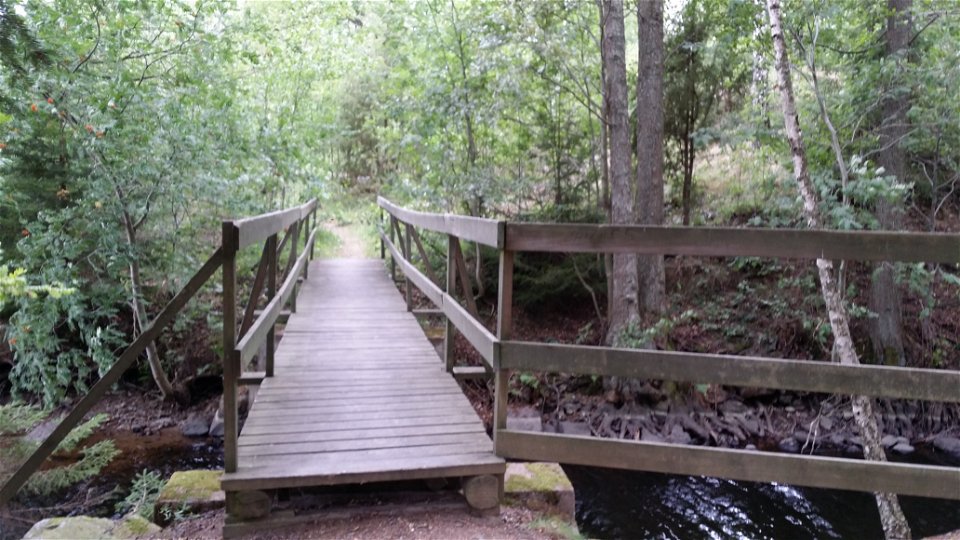
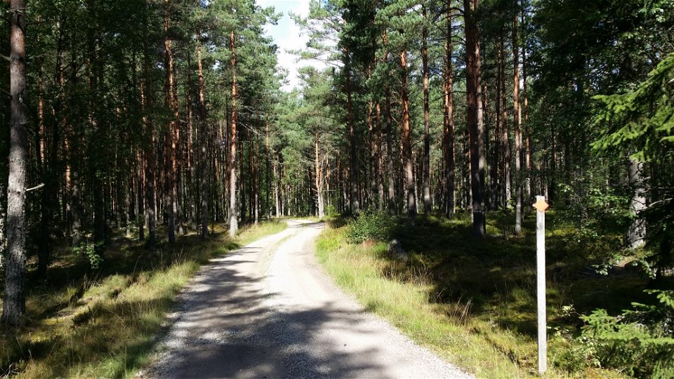
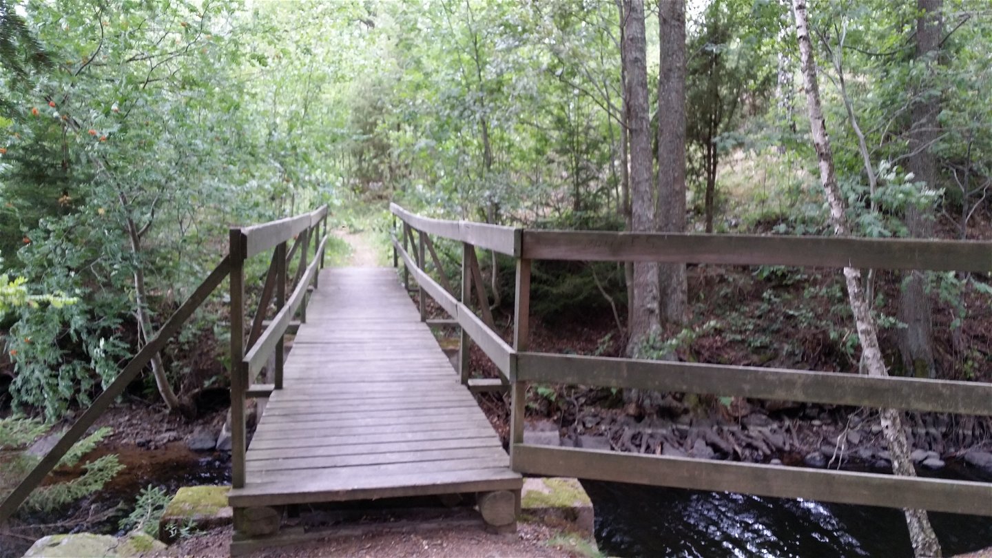
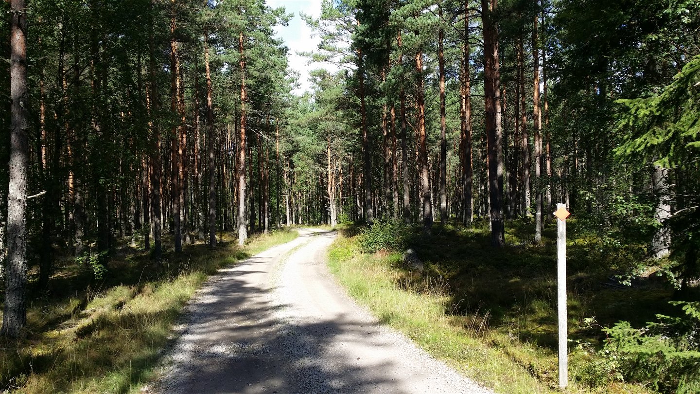
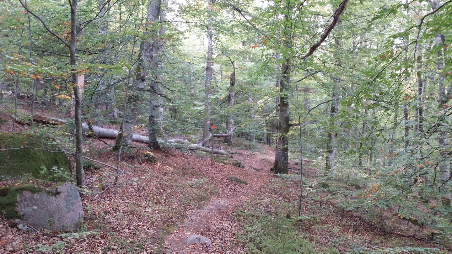
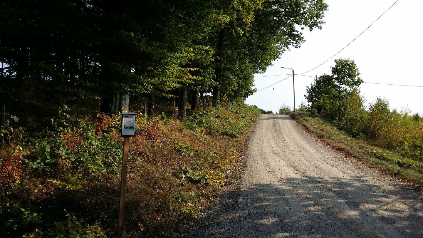
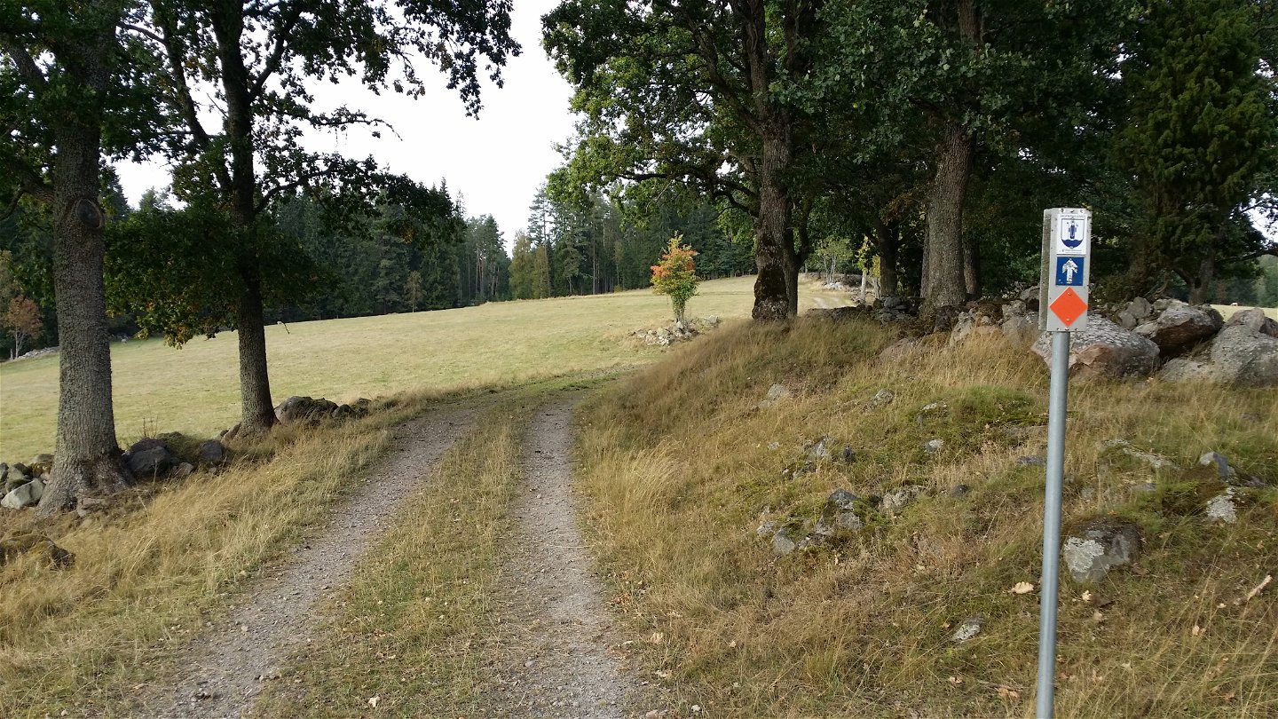
Mix of trail, gravel roads and some short parts on asphalt roads.
Bakker
In the south mostly flat, up north more hilly parts.
Veibeskrivelse
Start your hike from Växjö Cathedral, Evedal, at Notteryd Nature Reserve or anywhere along the nature trail.
Nedlastinger
Kontakt
Adresse
Telefon 0470-410 00
E-postadresse
Kontaktcenter
Logotype for organisasjonen

Vær oppmerksom på at noen av disse tekstene er automatisk oversatt.
Spørsmål og svar
Still et spørsmål til andre brukere av Naturkartan.

