Marhults elljusspår
Opplyst spor
- Fylke: Kronobergs län
- 6484.43 km fra deg
Detaljer om stien
- Lengde 2.0 km
- Vanskelighetsgrad Blå - medium
Handlinger
Beskrivelse
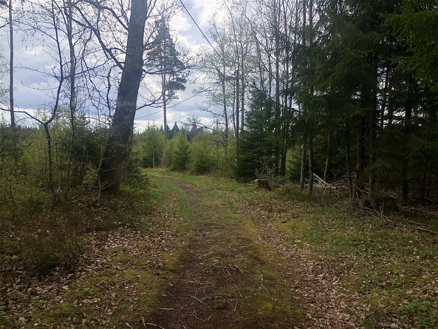
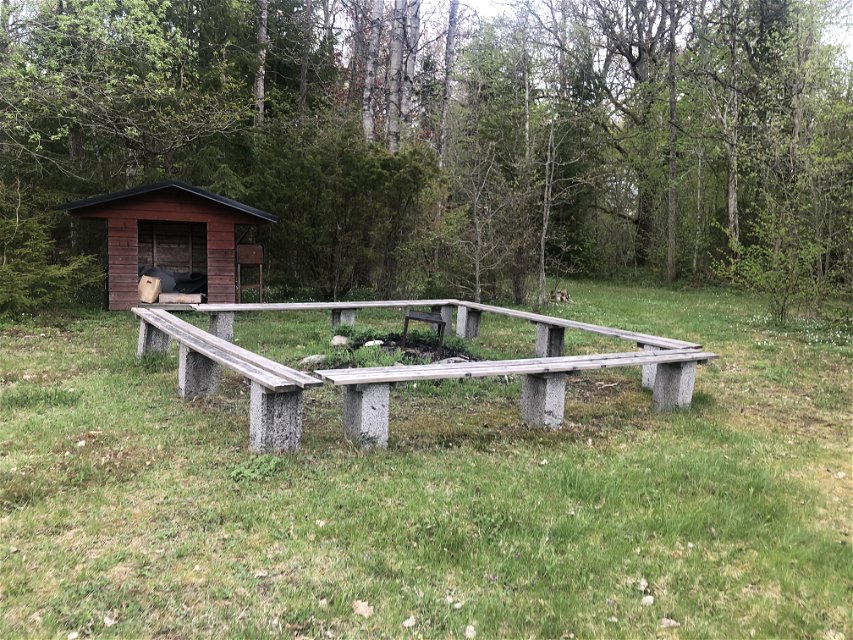
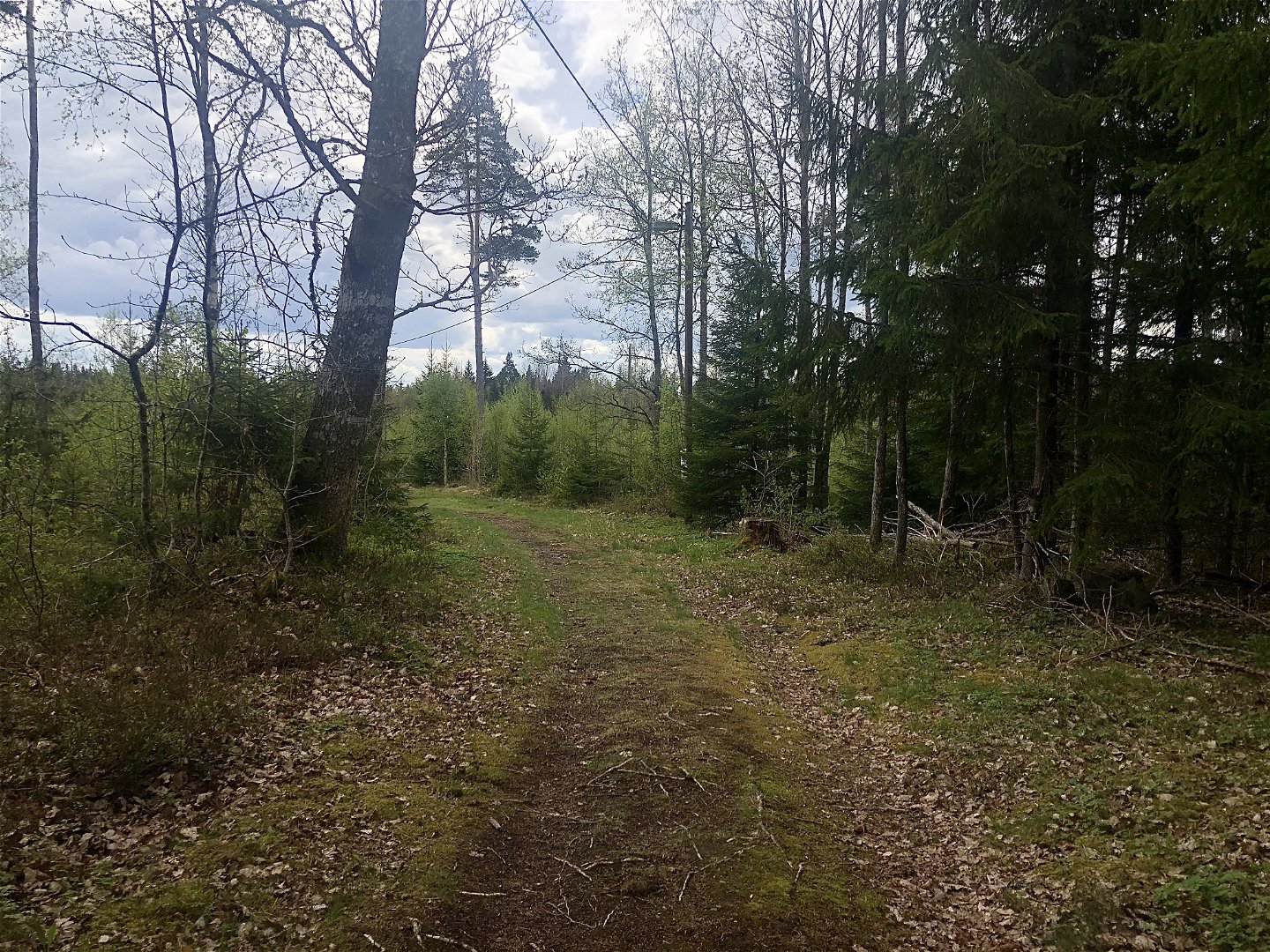
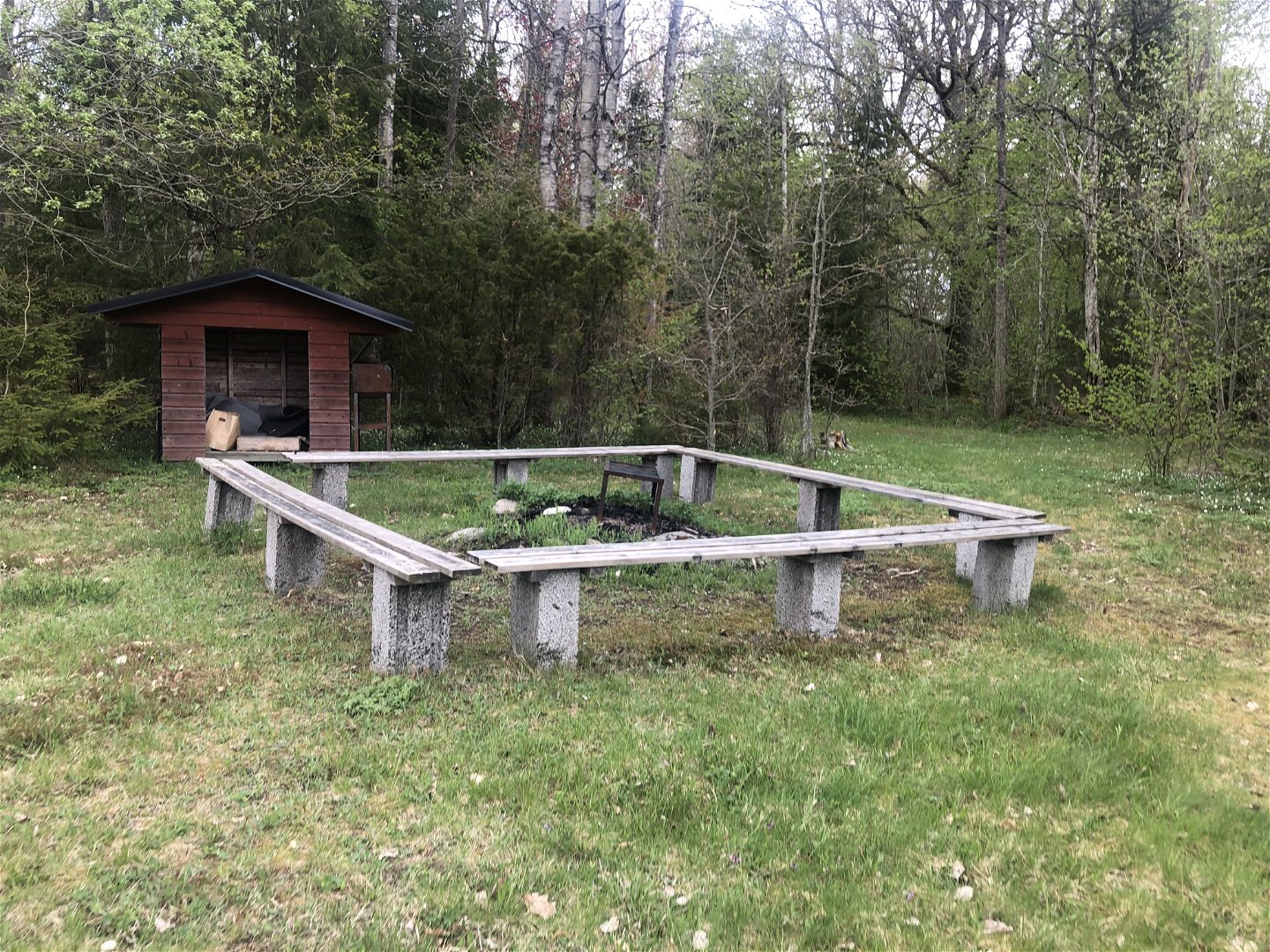
Marhult’s floodlit trail is on the outskirts of the village. It’s mostly an open landscape but in the middle will you pass through a forest.
Aktiviteter og fasiliteter
-
Terrengsykling
-
Løping
-
Langrenn
-
Gå
-
Opplyst spor
Underlag
Gravel and forests roads.
Parkering
Park on Slättebolsvägen.
Veibeskrivelse
Follow the sign towards Slättebol from road 31. After about 500 metres is there a small road on the left.
Kontakt
E-postadresse
Kultur- och fritidsavdelningen i Uppvidinge kommun
Spørsmål og svar
Still et spørsmål til andre brukere av Naturkartan.


