Norra slingan
Løping
- Fylke: Kronobergs län
- 6481.65 km fra deg
Detaljer om stien
- Lengde 1.7 km
- Vanskelighetsgrad Blå - medium
Handlinger
Beskrivelse
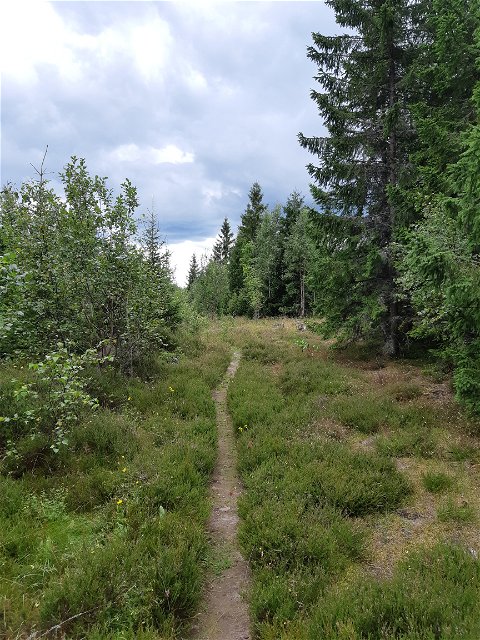
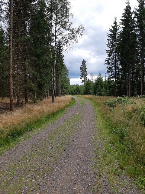
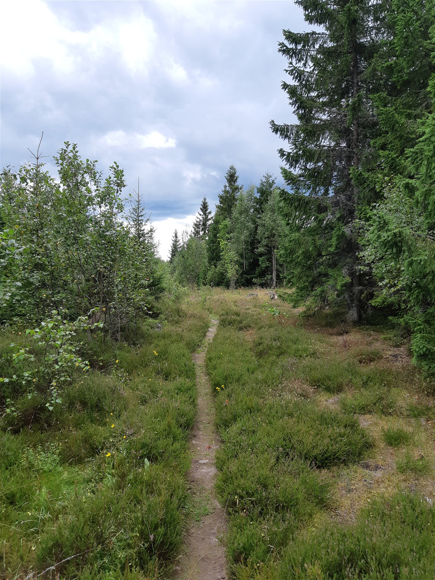
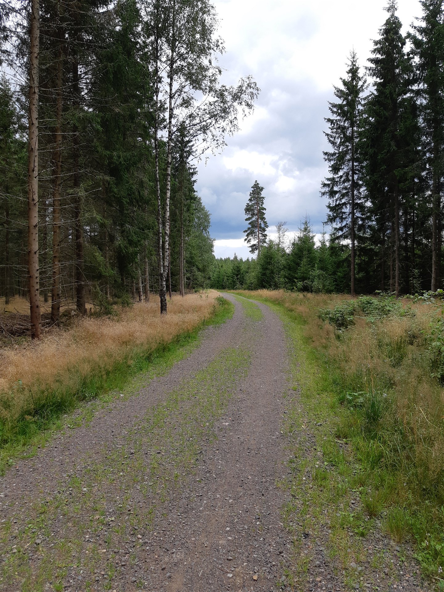
If the lighted trail is a bit too short for you can take this little extra round. Begin with walking or running half of the lighted trail (counterclockwise) and then turn right onto a small gravel road. Follow that road for about 450 metres and then turn left onto a small path. Follow that path for 600 metres and then you'll come to a gravel road. Turn left and follow that road until that road crosses the road you were on before. Turn left there and after about 100 metres are you back at the lighted trail.
The trail is about 1,7 km and can be combined with the lighted trail for a round that’s in total 3,7 km. It can also be combined with the south trail and then you get a total of 4,7 km in variating terrain.
Aktiviteter og fasiliteter
-
Terrengsykling
-
Hesteridning
-
Løping
-
Gå
-
Sirkulær slynge
Fakta
This trail doesn’t have any markings so use the app to follow it. On some parts can the terrain be bit difficult with high grass. Good shoes and trousers are recommended.
Underlag
Gravel road, forest paths.
Bakker
Almost no high differences.
Kontakt
E-postadresse
Kultur- och fritidsavdelningen i Uppvidinge kommun
Spørsmål og svar
Still et spørsmål til andre brukere av Naturkartan.


