Lenhovda elljusspår
Opplyst spor
- Fylke: Kronobergs län
- 6481.71 km fra deg
Detaljer om stien
- Lengde 1.9 km
- Vanskelighetsgrad Blå - medium
Handlinger
Beskrivelse
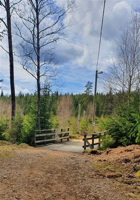
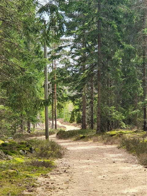
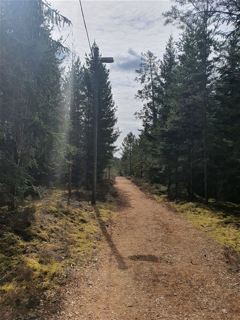
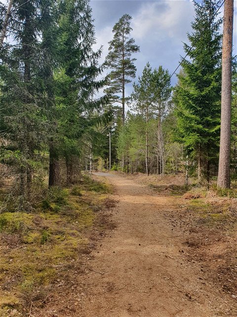
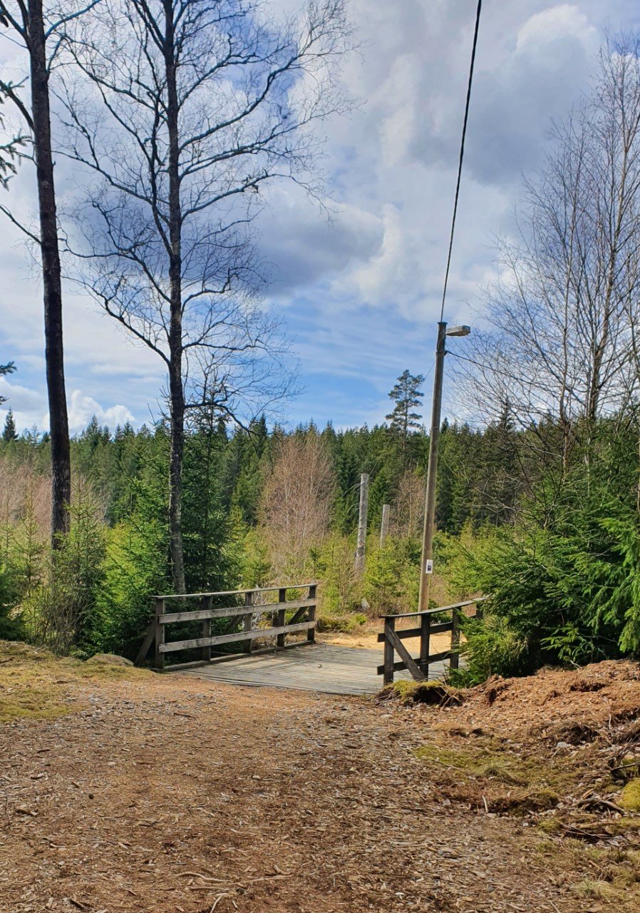
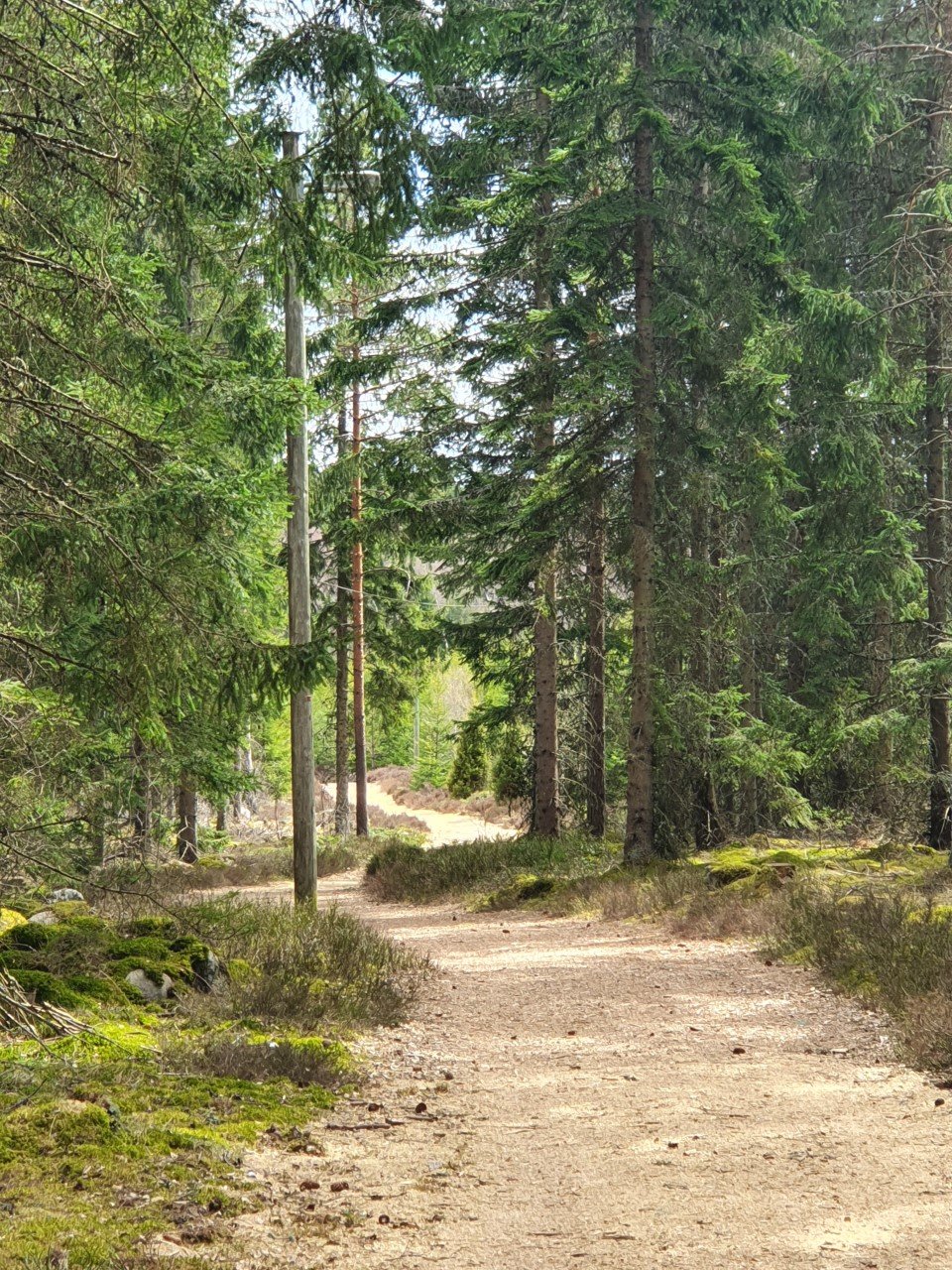
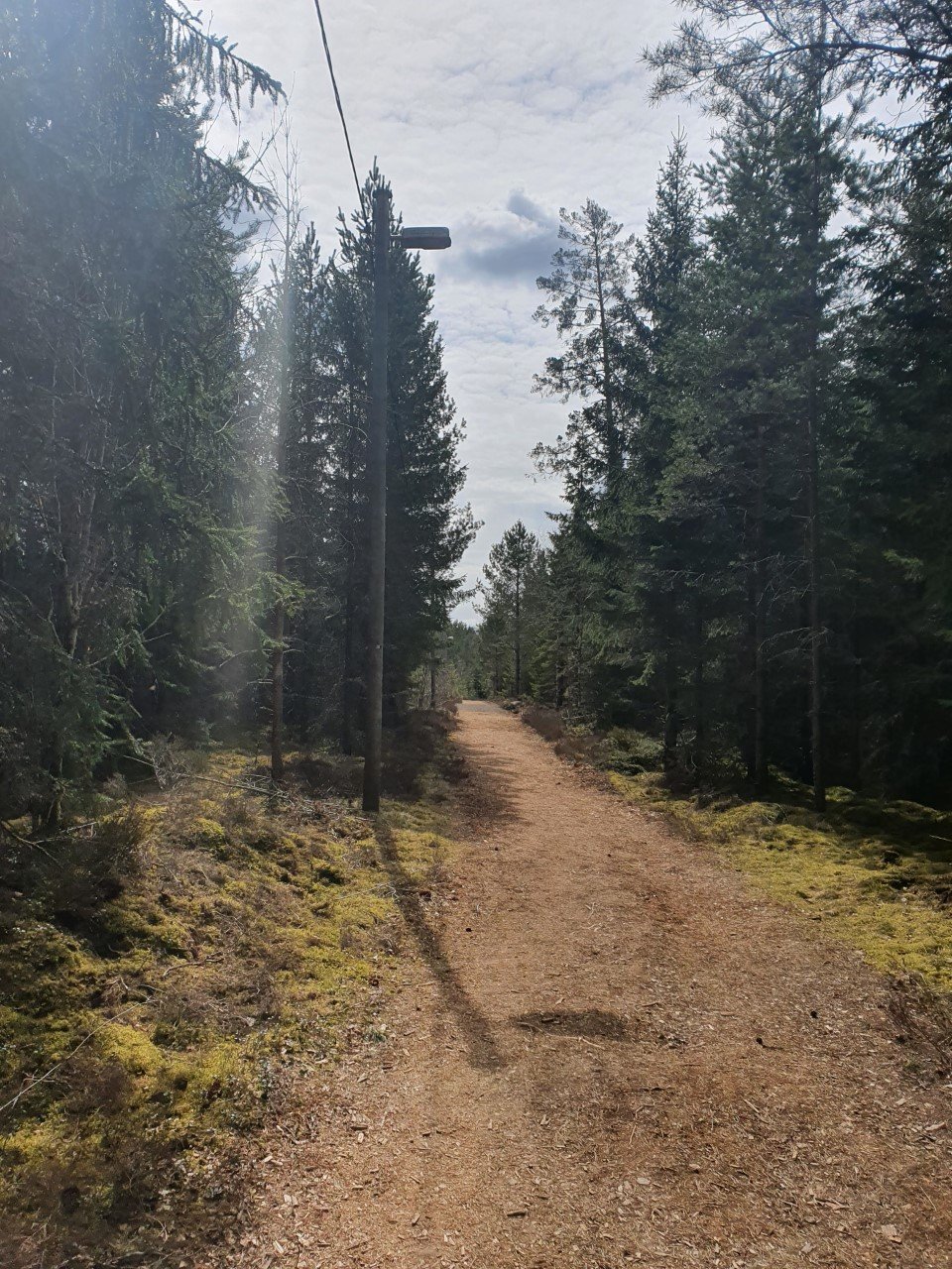
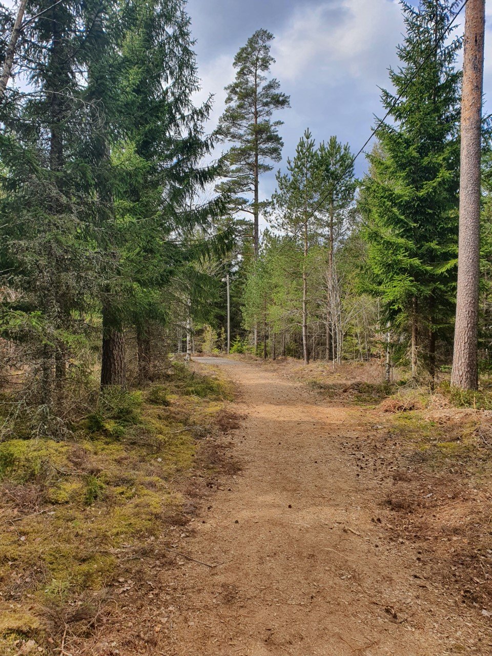
The lighted trail in Lenhovda is about 2 km long. The trail is quite flat, and the terrain is open, except for the middle and the end of the trail that goes into the woods.
Lenhovdas IF is responsible for this track.
Aktiviteter og fasiliteter
-
Sykling
-
Løping
-
Langrenn
-
Gå
-
Opplyst spor
Tilgjengelighet
-
Parkering i nærheten
-
Barnevognstilgjengelig
Vegetasjon
Mostly open terrain.
Parkering
There's a parking space in connection to the trail.
Veibeskrivelse
The trail is a bit south of Lenhovda, next to road 31.
Kontakt
E-postadresse
Kultur- och fritidsavdelningen i Uppvidinge kommun
Spørsmål og svar
Still et spørsmål til andre brukere av Naturkartan.

