
-
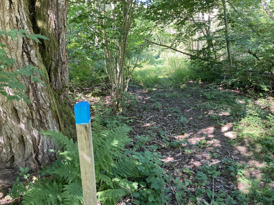
Foto: Tingsryds kommun -
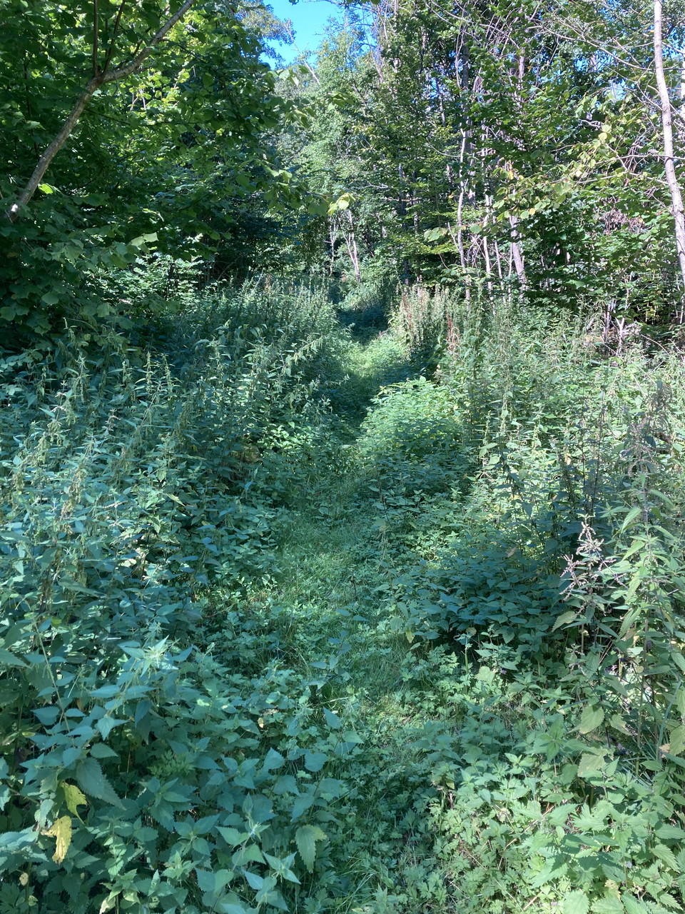
Foto: Tingsryds kommun -
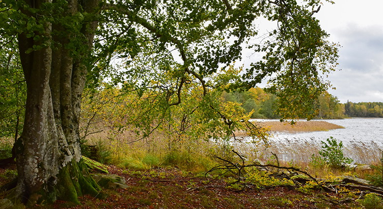
Foto: Länsstyrelsen i Kronobergs län -
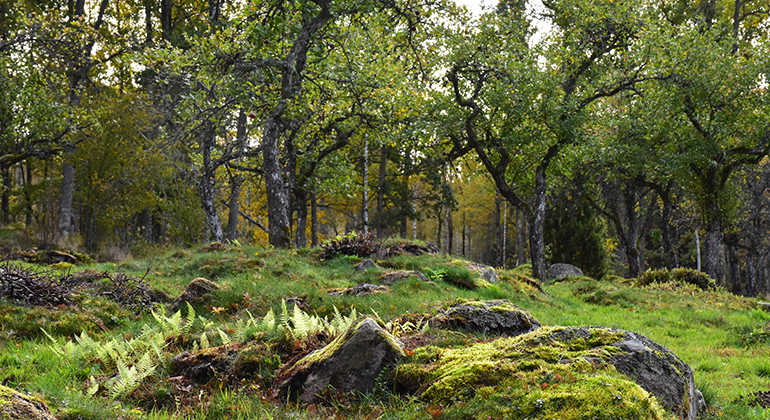
Foto: Länsstyrelsen i Kronobergs län
Vandringsled - Hackekvarns naturreservat (blå)
- Fotturer
- Fylke: Kronobergs län
- 6826.33 km fra deg
Detaljer om stien
- Lengde 0.3 km
- Vanskelighetsgrad Grønn - enkel
Handlinger
Beskrivelse
A small hiking trail down to the water. You get here by parking the car at "P" on the map or if you walk all the way up from Hackekvarn, at the passage over Mörrumsån. (Length: 300 meters for the path in the map, from the croft down to the lake). The path is lined with high grass in the summer.
Hackekvarn is located northwest of Urshult at Lake Åsnen's outlet in Havbältesfjorden. The reserve is 203 hectares in size and has been protected since 2012. The reserve contains several red-listed species of lichens, plants and fungi. The area has several cultural-historical remains and on Kungsholmen (Slottsholmen) there are remains of the ancient castle "Hacke slot" from the 14th century.
Length: 300 meters
Trail markings in terrain: blue
Aktiviteter og fasiliteter
- Fotturer
Kontakt
E-postadresse
Jeg har vært her 1

Jeg ønsker å dra hit 2

Spørsmål og svar
Still et spørsmål til andre brukere av Naturkartan.
Omtaler
0 anmeldelser
- 5 :
- 4 :
- 3 :
- 2 :
- 1 :
Brukernes bilder
Ingen brukerbilder ennå. Bli den første til å dele!
