
Led (Andersberg-naturum via Lövö och Kittlakull)
- Fotturer
- Fylke: Jönköpings län
- 6740.51 km fra deg
Detaljer om stien
- Lengde 14.0 km
Handlinger
Beskrivelse
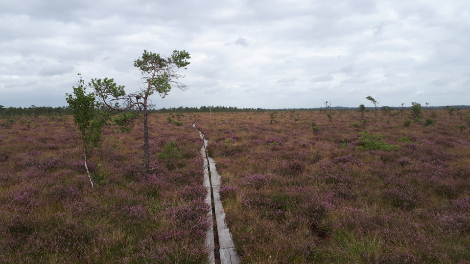
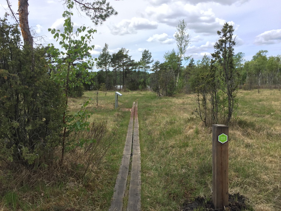
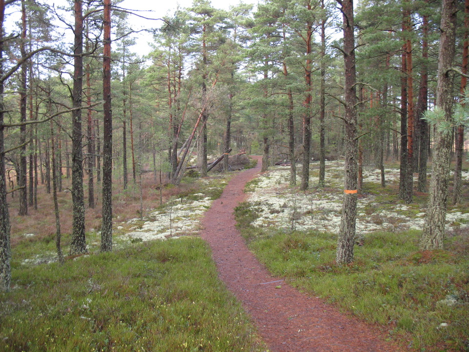
14 kilometers one way, the hike takes about 4-5 hours. Marked with green trail color. The longest trail on the map is between naturum-Andersberg. It starts in the north and continues to the southern tip of the national park. The walk is mostly over the high moss and is a good way to experience the tranquillity and wilderness feeling of the national park. Further south is Björnakullakärret - one of the national park's rich bogs. Here you'll find plants such as orchids and haymaking flowers. The trail crosses road 151 and runs along Kittlakullsvägen before entering the high bog. The trail shares a stretch with the hiking trail Lilla Lövö runt, Lövö runt and Blådöpet runt. The hike is a single stretch and ends at the parking lot at Andersberg.
Aktiviteter og fasiliteter
- Fotturer
Kontakt
E-postadresse
Jeg har vært her 6

Jeg ønsker å dra hit 5




Spørsmål og svar
Still et spørsmål til andre brukere av Naturkartan.
Omtaler
0 anmeldelser
- 5 :
- 4 :
- 3 :
- 2 :
- 1 :
Brukernes bilder
Ingen brukerbilder ennå. Bli den første til å dele!
