
-
Sverigeleden
Sverigeleden
- Sykling
- Guide: Kungsbacka kommun
- 6623.17 km fra deg
Detaljer om stien
- Lengde 49.6 km
Handlinger
Beskrivelse
Sweden is varied and beautiful. The Swedish nature, forests, lakes and rivers, coast and sea, mountains and plains, provide a great variety. Along the Sweden Trail you can experience all this.
The Sweden Trail runs through the whole of Sweden and is a total of 9,500 km long. The stretch through Kungsbacka is almost 50 km long.
The trail runs through open cultural areas with remnants of Swedish history and offers a varied and beautiful landscape. The cycle route runs on public roads, mostly on asphalt, and is divided into a main route and a number of alternative routes.
All information about the Sweden Trail is available in the three map folders that can be ordered on the Swedish Cycling Society's website.
**Map
Aktiviteter og fasiliteter
- Sykling
Fakta
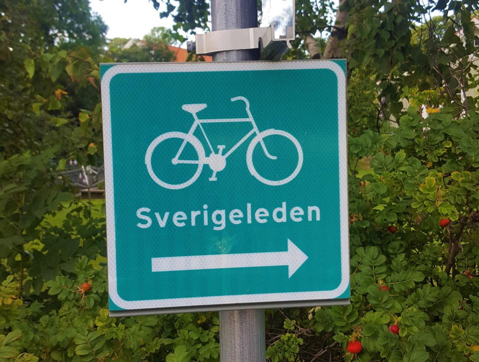
The Sweden Trail is a total of 9,500 km long and runs through the whole of Sweden, but also into Norway and Finland. The trail is marked with light green signs with the text Sverigeleden.
Kontakt
Adresse
Telefon: 0300-83 40 00
E-postadresse
Kungsbacka turistinformation
Organisasjonens logotype

Jeg har vært her
Jeg ønsker å dra hit
Spørsmål og svar
Still et spørsmål til andre brukere av Naturkartan.
Omtaler
0 anmeldelser
- 5 :
- 4 :
- 3 :
- 2 :
- 1 :
Brukernes bilder
Ingen brukerbilder ennå. Bli den første til å dele!
