
-
-
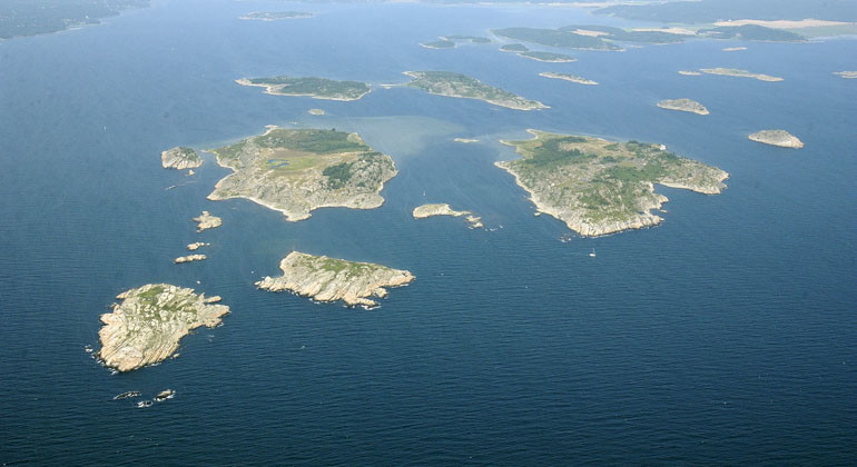
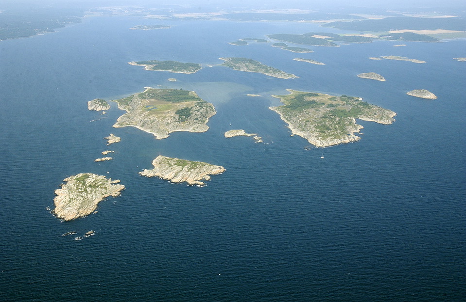
vy från ovan över öar i vatten -
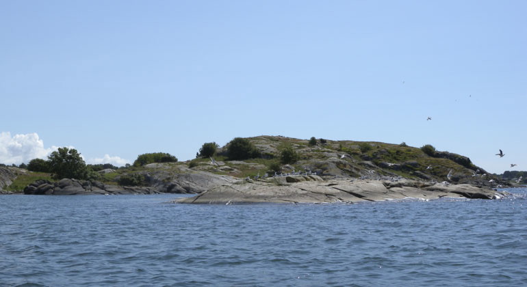
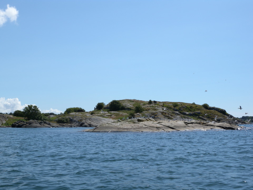
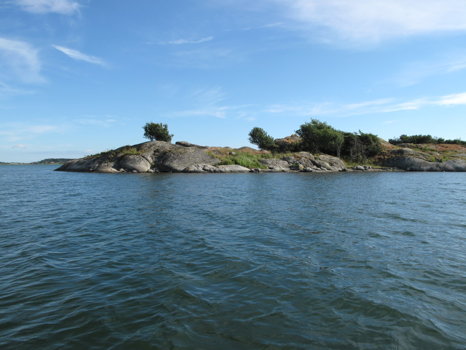
vy från havet mot klippa -
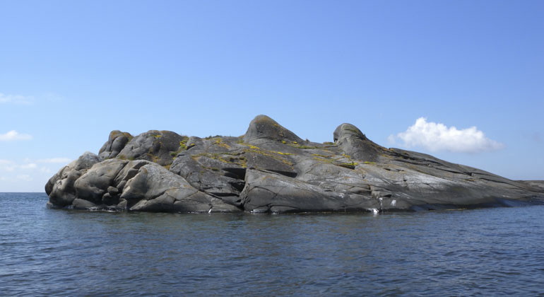
klippa i havet -
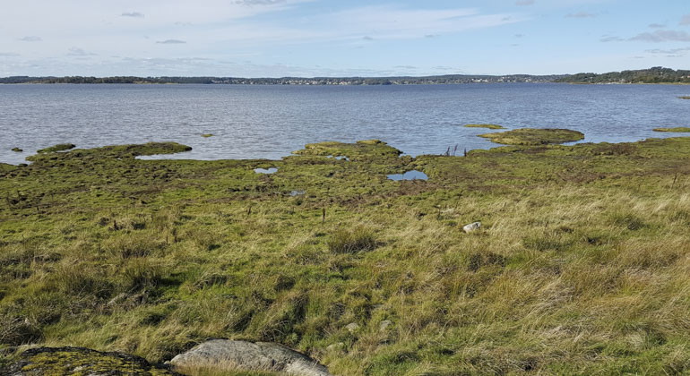
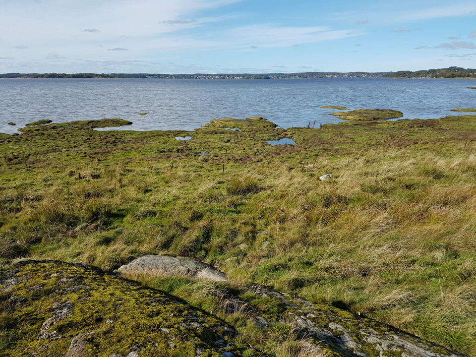
land möter hav -
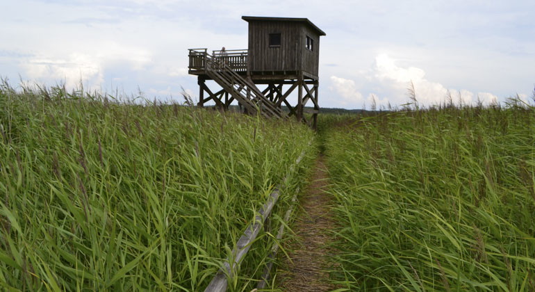
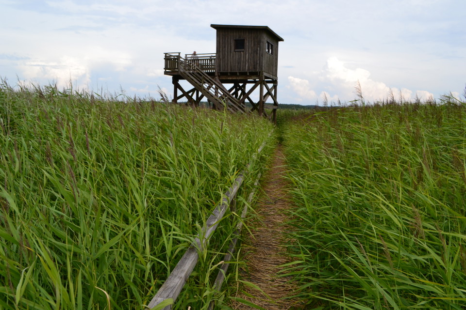
fågeltorn -
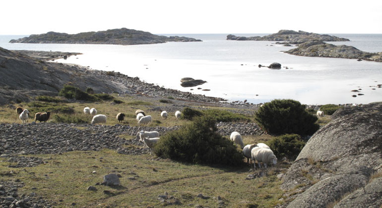
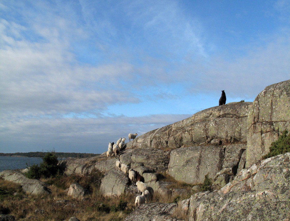
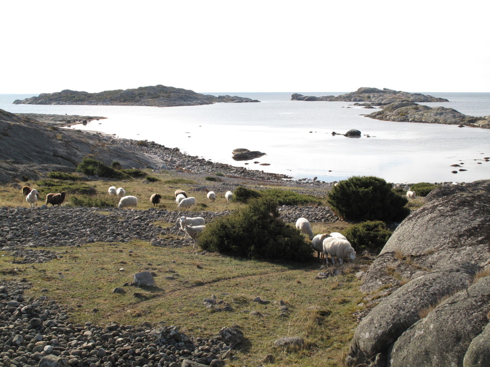
får som betar vid vattenbrynet -
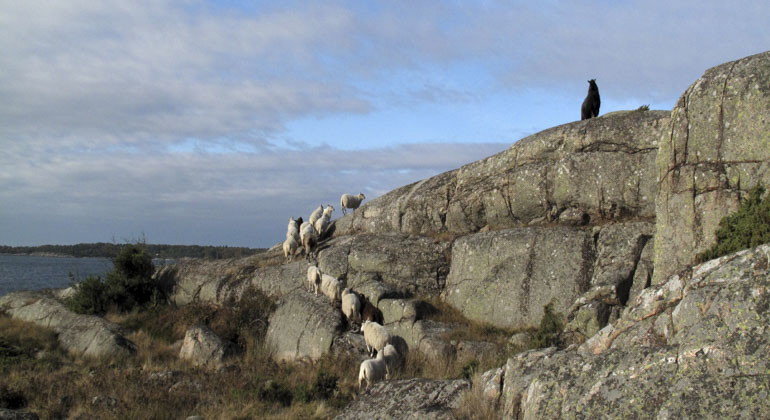
Får som går på led bland klippor -
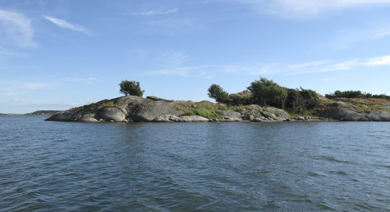
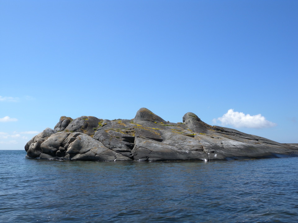
En stenig ö i vatten -
-
-
-
-
-
-
Kungsbackafjorden, Naturreservat
- Naturreservat
- Guide: Kungsbacka kommun
Handlinger
Beskrivelse
Kungsbackafjorden contains around fifty islands and skerries and is Halland's largest nature reserve. Sun, swimming and fishing attract thousands of visitors every year. To reach the islands you need access to a boat.
The reserve covers a total of 5,200 hectares, of which about 500 hectares consist of islands, land, rocks and skerries. The five largest islands are Kalvö, in the inner part, and Ramnö, Vindö, Hällesö and Brokö closer to the mouth. Camping is permitted in accordance with the right of public access on Brokö. Camping is allowed on the entire island.
Several nice swimming spots
There are several fine bathing spots on the islands, including a popular sandy beach in the southern bay of Kalvö, while from the northern part of Yttre Lön you can jump into the sea from a high cliff. On beautiful summer days, the boats are packed with sunbathers and bathers.
In Kungsbackafjorden you can enjoy the beautiful coastal nature of Halland with heather moors, beach meadows and bare rocks. The crevices are home to the common moorwort, yellow buttercup and trift. In the northern parts of the islands, open grass and heather moors spread out and heather, bell heather and others grow here. Sheep graze on the larger islands, which keeps the landscape open.
Animals and plants in the reserve
The nature reserve is home to a rich plant and animal life. More than 240 bird species have been observed in the reserve over the years. The grazed meadows are home to lapwings, redshanks, yellow wagtails and greater sandpipers. The meadows are also valuable resting places. Large flocks of waders feed on the meadows, to complete their long journey between the breeding grounds in the north and the wintering areas in south-western Europe and Africa. Large numbers of ducks, geese and swans also rest on the fjord in spring and fall. The fjord is the most important wintering site in Halland for lapwings and the rare common scoter.
To protect bird life, access is prohibited at seven locations in Kungsbackafjorden between 1/3 and 30/6. Respect the access bans!
Meadows with eelgrass under the surface
Diversity is also found below the surface, in vast eelgrass meadows and on algae-covered rocky bottoms. Eelgrass meadows provide shelter for juveniles and larger fish. However, they may not be able to avoid the sharp eyes of the osprey. This skilled hunter can often be seen hovering above the surface of the water, looking for a fish spine to pounce on.
Kungsbackafjorden is not really a fjord as it has no threshold at the mouth. The reserve is an estuary, a defined area of water with free exchange of water with the sea and with fresh water from rivers. The underwater environment is dominated by shallow bottoms but there are also deep channels. One of the channels is 30 meters deep!
Leaflets
Kungsbackafjorden Swedish Link to another website
Aktiviteter og fasiliteter
- Naturreservat
Fakta
Dominant habitat type: Estuary, water body with free exchange between sea and freshwater from rivers
Municipality: Kungsbacka
Area: 5,200 hectares of which approximately 500 hectares are islands and land
Decision in force: 2005
Owners: Swedish Property Agency and private landowners
Manager: County Administrative Board
Other: The area is part of Natura 2000
Veibeskrivelse
Kungsbackafjorden is located in Kungsbacka municipality. The islands of Kungsbackafjord are only accessible by boat.
Forskrifter
To protect the nature reserve, the County Administrative Board has decided on special regulations, including those that you as a visitor to the area must follow and respect.
In addition to what applies under other legislation, it is forbidden to:
- make fires other than in the designated place (there is a fireplace on Brokö),
- camping other than in the designated place (it is allowed to camp in accordance with the right of public access on Brokö. Camping is allowed on the entire island),
- set up a caravan, motorhome or anchor with a houseboat
- park other than in the designated place,
- moor a boat to a buoy with a tow chain or in a similar way that affects the bottom fauna.
- permanently mooring a boat other than at an existing harbor and pier,
- disturbing wildlife and bringing a stray dog or other pet (a leash is required).
- affixing a board, poster, poster, sign, inscription or similar device, and
- drive motor vehicles other than on public and private roads.
In addition, access is prohibited between 1/3 - 30/6 for the seven areas marked on the reserve decision map. The ban applies to land areas and an outside water area of 50 meters. Exceptions apply to access to the bird tower at Tjolöholm.
Kontakt
Adresse
Kontakta reservatsförvaltningen för frågor, synpunkter och felanmälan.
E-postadresse
Länsstyrelsen i Hallands län
Organisasjonens logotype
Jeg har vært her 4

Jeg ønsker å dra hit 6


Spørsmål og svar
Still et spørsmål til andre brukere av Naturkartan.
Omtaler
0 anmeldelser
- 5 :
- 4 :
- 3 :
- 2 :
- 1 :
Brukernes bilder
Ingen brukerbilder ennå. Bli den første til å dele!
