
-
-
-
-
-
-
-
-
-
-
-
-
-
-
-
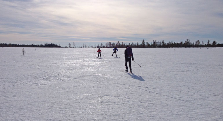
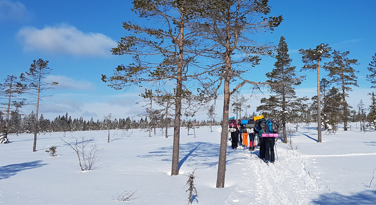
Till Koppången åker de flesta på vårvintern, för att åka skidor på skaren. Har det varit tö en dag som följs av en kall natt, är det perfekta förhållanden.
Foto: Maria Jons, Länsstyrelsen i Dalarnas län.
Koppången, Naturreservat
- Naturreservat
- Fylke: Dalarnas län
Handlinger
Beskrivelse
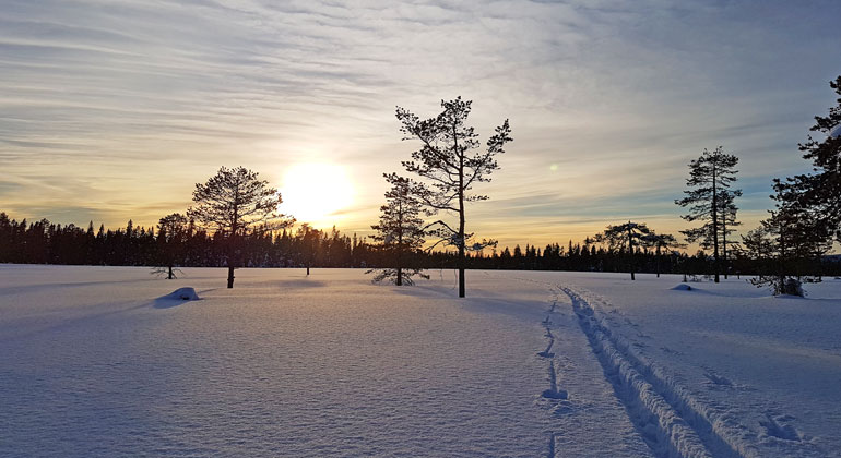
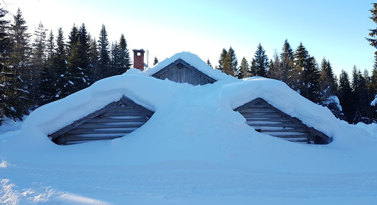
In the highlands north of Orsa lies Koppången—one of Sweden’s most valuable wetland landscapes. The highest point is Stora Tunturiberget, at 650 meters above sea level. Thanks to the terrain’s elevation, there is plenty of snow here, which can linger well into May. Many skiers have discovered this, and in late winter, the area is packed with people.
Photo: Dalarna County Administrative Board
What can you do here?
Snow cover well into May attracts cross-country skiers
Koppången is located at a high elevation and therefore has guaranteed snow. In the winter, the area is heavily used by skiers. If you’re planning to visit on a sunny April Sunday when the snow is in good condition, be sure to arrive early in the morning. The parking lot is often full, so it’s important to be considerate of others. Once out on the snow-covered expanses, you can ski long stretches all by yourself without seeing a single person, especially west of the road. The area is large and has plenty of room for everyone. The ski trails are maintained by the Polar Dog Club, which also organizes dog-sled tours here.
Take a Break at a Restored Mountain Pasture from Days Gone By
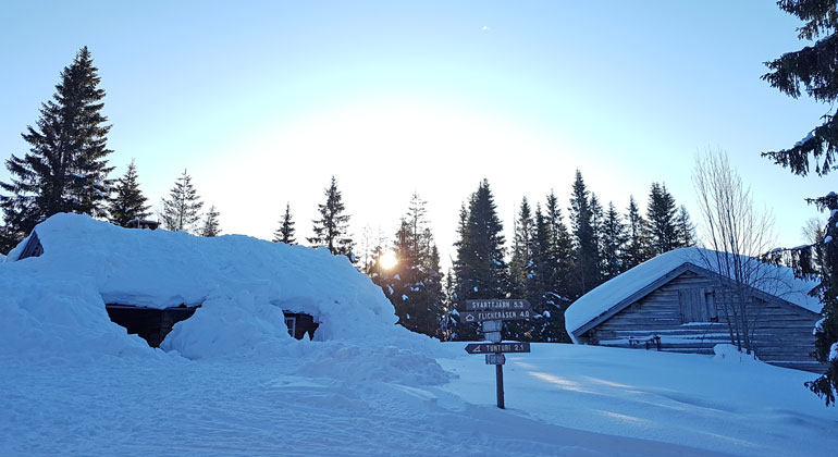
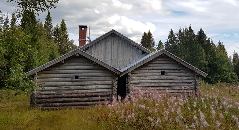
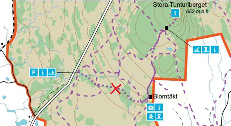
South of Tunturiberget lies the old mountain pasture Blomtäkt. In days gone by, the houses and pasturelands were bustling with activity. Summer brought a flurry of activity here, centered around marsh haymaking. Cows and goats were herded to graze in the forests surrounding the mountain pasture.
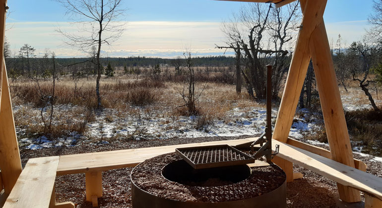
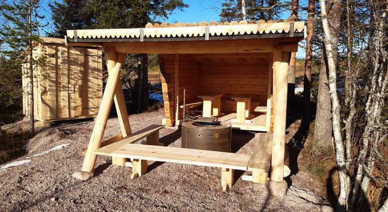
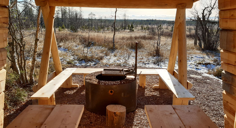
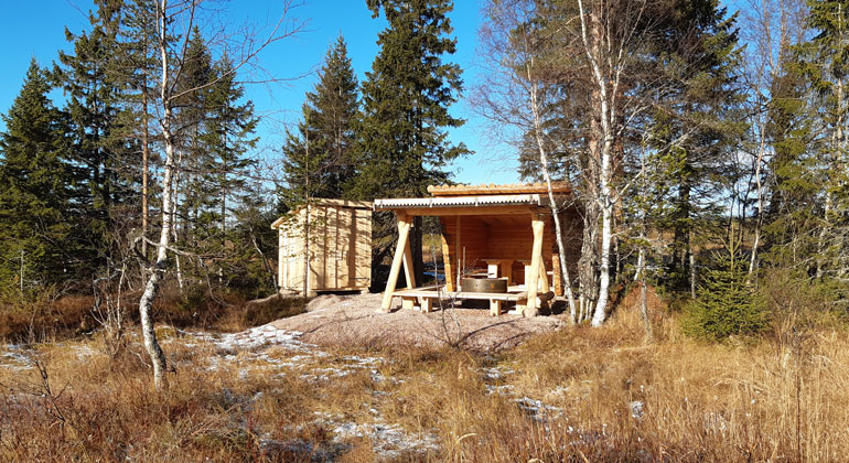
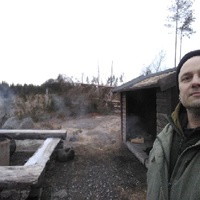
Now the buildings have been restored for hikers and skiers. The rest hut features a stove with a hotplate and a table for eating. Outside, there’s a barbecue area with benches, where you can relax against the hut wall in the spring sunshine. Firewood and an outhouse are available, but please take your trash home with you.
If you’d like to stay overnight, you may spend a maximum of one (1) night in the rest hut.
Prince Gabriel’s Ski Trail
Björnidet—a new, lovely log cabin with a fireplace
What makes this place unique?
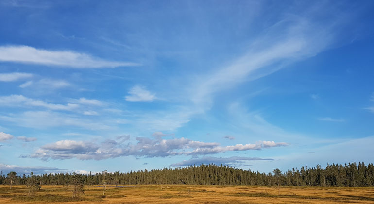
A borderland with marshes like savannas
Koppången is the borderland between the Orsabyarna’s old mountain pasturelands and the Finnish border region. Here you’ll find large, savanna-like wetlands and steeper hillside marshes that climb high up the mountain slopes. There are also open marshes crisscrossed by “flarkar”—dry, raised ridges of peat with wetter patches in between.
Ancient forest with “beards”
Between the marshes lie forested strips that look like islands in a sea. The mountains are covered with old, beautiful spruce forests. In the forest near Tunturi Mountain, spruce trees over 300 years old grow—a rare sight in today’s modern, managed forests!
All the snow that falls during the winter melts away late in the spring. This keeps the forests moist and lush throughout the summer, providing a favorable environment for many rare lichens, mosses, and wood-decay fungi. For example, the beautiful long-bearded lichen can be found here. It is the world’s longest lichen and can grow up to ten meters long! In the past, it was used as a decoration on Christmas trees—a living sparkle. But now it is rare, so please do not pick it.
The Meadow Saxifrage and the Sociable Little Curlew
In the marshes, you’ll find the small plant known as the meadow saxifrage. Get down on your knees and take a really close look at it. It’s incredibly beautiful—like a little work of art!
And while you’re crouching in the marsh, you might spot the unafraid little stork. It resembles its larger relative but is smaller and has a less curved beak. It might be startled by you if you get too close, but it won’t fly far before settling down again.
Koppången—one of Sweden’s gems!
Visitor Information
To reach the main entrance to Koppången, follow Highway E45 north for about 30 km. There’s a large parking lot here. The parking lot is marked by a road sign that reads “Koppången Nature Reserve.”
Near the parking lot, there’s a signpost with information about the reserve and a table where you can have a snack. Several winter trails start from here, including Prince Gabriel’s ski trail. The summer trail also starts here.
From the parking lot, it’s approximately:
- 1 km to the Björnidet log cabin
- 2 km to the open rest hut at Blomtäkt.
- 6 km to the open rest hut at Flickeråsen. In the summer, you can walk here from the main road (1.5 km).
No parking along the E45!
When the skiing conditions are at their best in Koppången, the parking lot by the trail toward Blomtäkt fills up quickly. However, under no circumstances should you park your car along the highway. If the main entrance is full, you can also park at the northern parking lot on the road leading toward Rosentorp; see the nature reserve map.
Video about Prince Gabriel’s Ski Trail
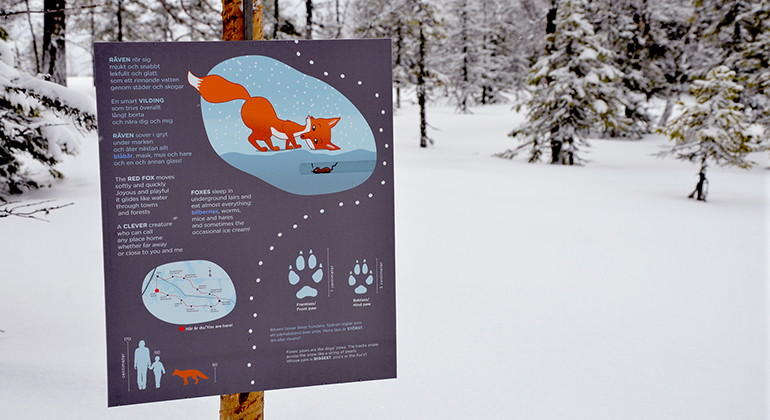
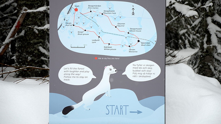
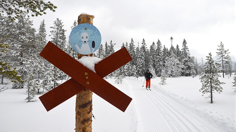
On March 12, 2021, Prince Gabriel’s ski trail was inaugurated in the Koppången Nature Reserve, north of Orsa. The two-kilometer-long ski trail is primarily intended for children but is suitable for all ages. Skiing the trail offers a unique experience in the forest, where you learn about nature along the way as you make your way through the trail.
Photo: Dalarna County Administrative Board
Aktiviteter og fasiliteter
- Naturreservat
Veibeskrivelse
The area is located a couple of mil northeast of Orsa.
Forskrifter
In the nature reserve, it is not permitted to...
- damage growing or dead trees, windfalls, stumps, or fallen logs,
- drive motorized vehicles off-road; this applies to both bare ground and snow-covered ground.
Click on the nature reserve’s name and select the “Documentation” tab to view the documents.
Kontakt
Adresse
E-postadresse
Organisasjonens logotype

Jeg har vært her 11

Jeg ønsker å dra hit 10
Spørsmål og svar
Still et spørsmål til andre brukere av Naturkartan.
Omtaler
0 anmeldelser
- 5 :
- 4 :
- 3 :
- 2 :
- 1 :
Brukernes bilder
Ingen brukerbilder ennå. Bli den første til å dele!
