
-
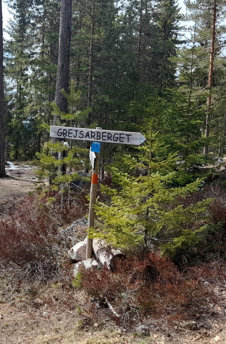
Foto: Gunnel Wåhlberg -
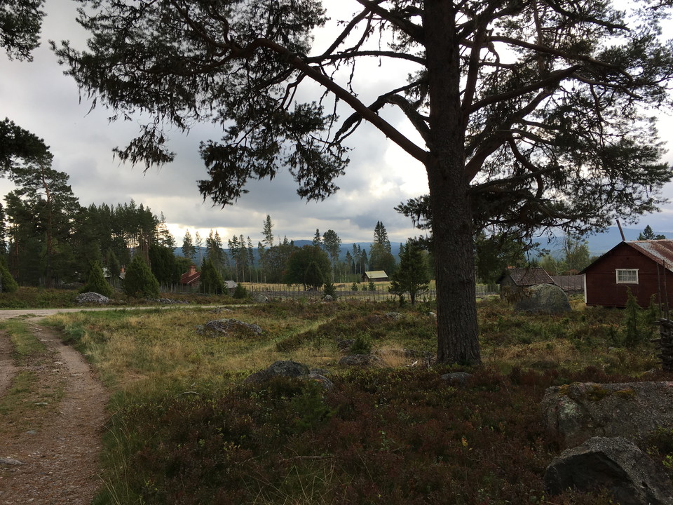
Vy över fäboden -
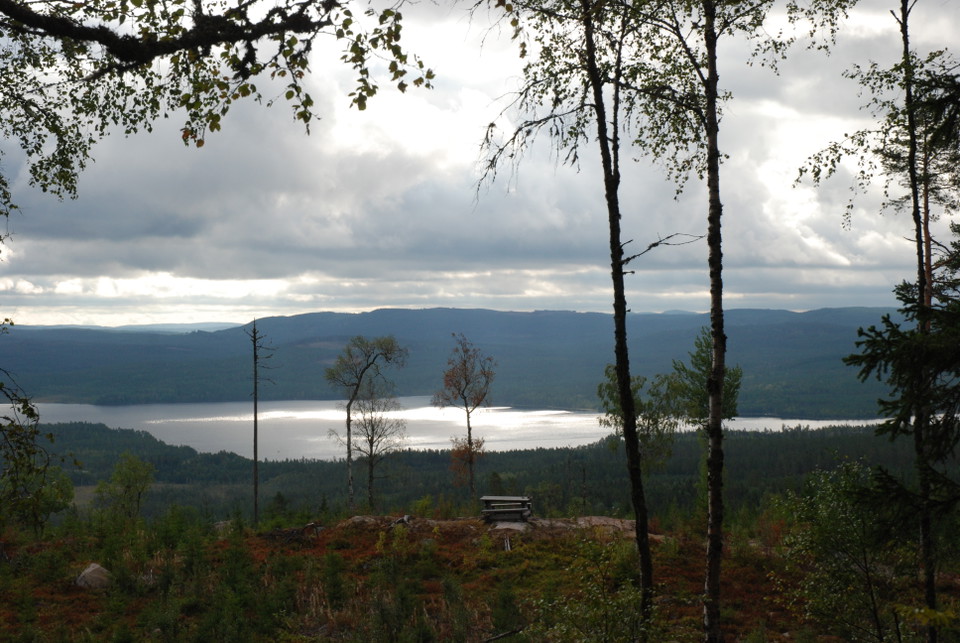
Rastplats halvvägs upp på berget. -
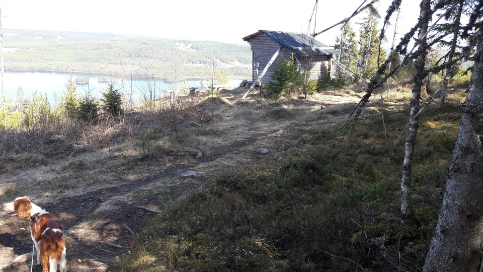
Vindskyddet på bergets topp.
Foto: Gunnel Wåhlberg -
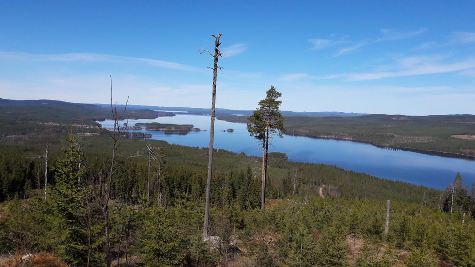
Utsikt över Amungen.
Foto: Gunnel Wåhlberg
Leder på Grejsarberget
- Fotturer
- Terrengløping
- Parkering i nærheten
- Barnas eventyr
- Guide: Falu kommun
- 6629.97 km fra deg
Detaljer om stien
- Lengde 5.0 km
Handlinger
Beskrivelse
There have been many hiking trails around Grejsans fäbod. Several of these are marked and go through forests of varying types, young forest as well as old forest and clearings. Today, forestry is carried out with modern machines that leave new traces in the ground.
The most common is to take the trail up to the top of Grejsarberget. It starts from the turnaround at the top of the pasture. It is an easy hike at the beginning but slightly steep at the top. Fäboden is about 300 meters above sea level and the top 430 meters above sea level. Here you are offered a beautiful view of Svabensverk and lakes Hämmen and Amungen. The trail is about 2.5 km from the pasture, up to the top and back.
If you want a greater challenge, you can continue an eastern hike down Grejsarberget towards Amungen. The trail is clearly marked, but steeply downhill before you reach a forest road. Follow this road along the shore of Amungen for 1.5 km before turning off into the forest to get back to Grejsans fäbod. During the walk you will pass coal bunkers, ruins of coal huts, etc. The entire round is about 5.2 km long.
A third and slightly longer option is to start your hike down by road 50. About 1.5 km north of the turnoff to Grejsans fäbod, at the so-called Rakbrännan, it is possible to park on both sides of the road. From here it is about 2 km up to the shed. If you then walk all the way around Grejsarberget and back to Rakbrännan, you get a trip of almost 10 km.
Aktiviteter og fasiliteter
- Fotturer
- Terrengløping
- Barnas eventyr
Tilgjengelighet
- Parkering i nærheten
Fakta
Lederna på Grejsarberget är markerade med orange färg och skyltade med träskyltar. Lederna sköts av Envikens hembygdsförening.
Parkering
Parkera kan man göra på vändplanen vid vägs ände i fäboden. Tänk på att det är en vändplan och ställ bilen så andra tar sig fram.
Veibeskrivelse
From Falun take road 50 towards Söderhamn. Pass Enviken and Lamborn. From Lamborn, drive about 1 km and pass a lake on the left. Drive another 2 km and turn left into Grejsans fäbod, where the hiking trails start. There is no sign at the highway so bring a map for safety.
Nedlastinger
Kontakt
E-postadresse
Kontaktcenter Falu kommun
Organisasjonens logotype

Jeg har vært her 5


Jeg ønsker å dra hit 13


Spørsmål og svar
Still et spørsmål til andre brukere av Naturkartan.
Omtaler
0 anmeldelser
- 5 :
- 4 :
- 3 :
- 2 :
- 1 :
Brukernes bilder
Ingen brukerbilder ennå. Bli den første til å dele!
