
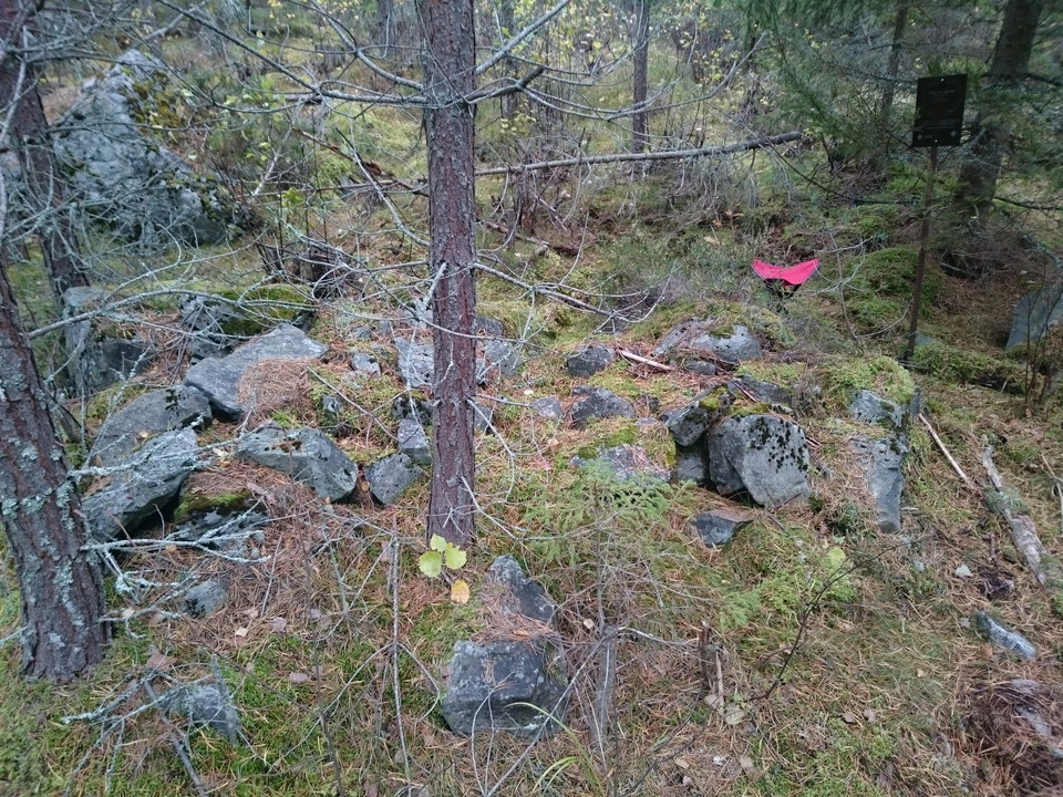
Fredsmilen röse 1
- Gammelt monument/kulturminne
- Fylke: Dalarnas län
- 6639.58 km fra deg
Handlinger
Beskrivelse
Röse n:o 1 is easily accessible from the forest road. On the map from 1754, the cairn is located directly west of the mine. Today 7.24 degrees to the south, probably because this was the misdirection then. The whole circle of cairns is twisted this angle counterclockwise in relation to the 1754 N-S.
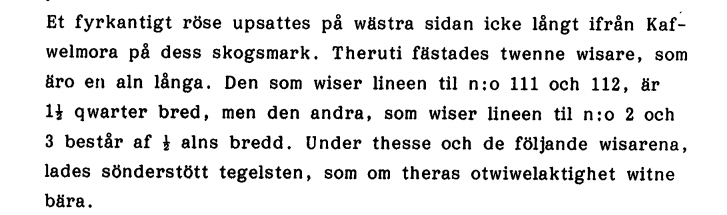
General information about Fredsmilen, see the site "Fredsmilen History" or click on the Fredsmilen circle in the map.
Aktiviteter og fasiliteter
- Gammelt monument/kulturminne
Fakta
Radial eye (Radial eye/intermediate eye/cordar eye)
Roose (Roose/stone/pile/water)
Coordinates N,E
WGS84 dec 60,584832 15,414762
SWEREF 99 TM 6716617, 522725
RT90 6718667, 1478604
Status: 5
0. Not currently searchable - includes categories Pile and Water.
- "Probably" lost due to road construction or similar.
- "Probably" lost due to road construction or similar. Remains may still exist.
- not yet recovered - may be gone, but may also remain.
- "Probably or possibly" found, but "uncertain", because they are "atypical" in some way.
- "Certainly" recovered, but in more or less damaged condition.
- 'Certainly' recovered and in well-preserved condition.
J Sign posted (Y/N)
RAÄ-no: Aspeboda 187:1
Property designation:
Landowner: Stora Enso Skog och Mark AB
Comments:
Kontakt
E-postadresse
Kontaktcenter Falu kommun
Organisasjonens logotype

Jeg har vært her
Jeg ønsker å dra hit
Omtaler
—
0 anmeldelser
- 5 :
- 4 :
- 3 :
- 2 :
- 1 :
Spørsmål og svar
Still et spørsmål til andre brukere av Naturkartan.
Brukernes bilder
Del bildene dine fra stedet!
