Skärgårdsbåtar, Köpmanholmen
- Kommune: Örnsköldsvik
- 6645.32 km fra deg
Boat service to the islands of Trysunda and Ulvön.

Västernorrlands län
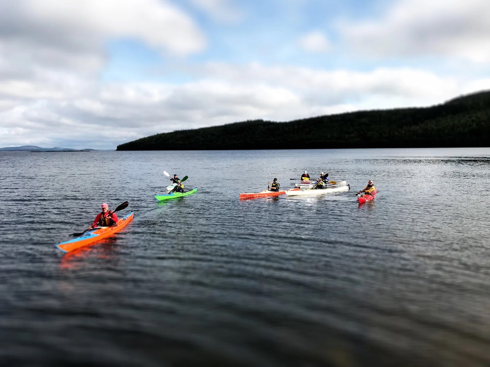
Boat service to the islands of Trysunda and Ulvön.
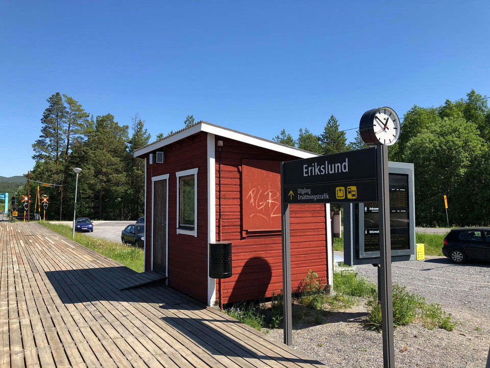
Bus service to Örnsköldsvik Resecentrum by bus 421 and 422.
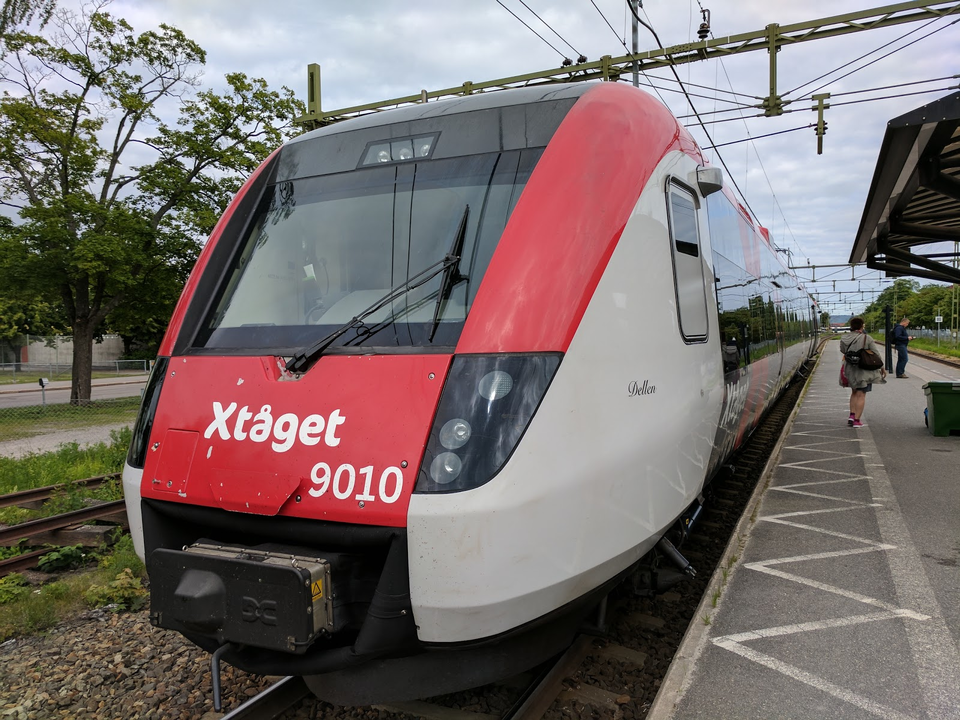
Train and bus connections. Timetables can be found at dintur.se, norrtåg.se and sj.se.
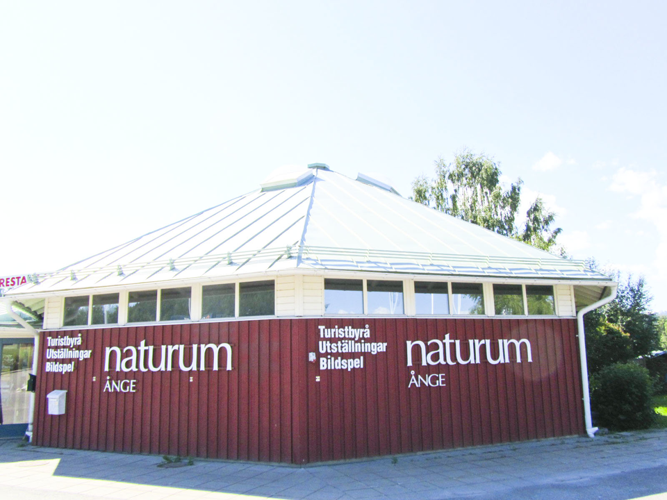
Naturum Ånge is a place where you can learn more about the fantastic nature and culture of Ånge municipality. In addition to our exhibition, we offer activities and guided tours throughout the year. Naturum is a natural meeting place; we want to inspire you…
Find time table at Din tur. The bus stop closes to the start of St. Olavsleden is Selånger kyrka, only 100 meters walk. A more frequent time table is the buses to Bergsåkers centrum, where the walk is about 12 minutes (1 km)
Bus stop app. 1 kilometer (12 min walk) to the start of the St. Olavsleden in Selånger. A closer bus stop is Selånger Kyrka, but the buses are not as frequent as this one.
Go from the riding school towards Ånge, turn right immediately on the other side of the bridge and you will end up on the gravel road that takes you towards the heating plant and IP. From Idrottsplatsen you can walk on the road and path down towards Lillstr…