
Värmlands län
Rasteplass
Kart
46 Rasteplass
Rastplats Nytorp
- Kommune: Arvika
- 6552.07 km fra deg
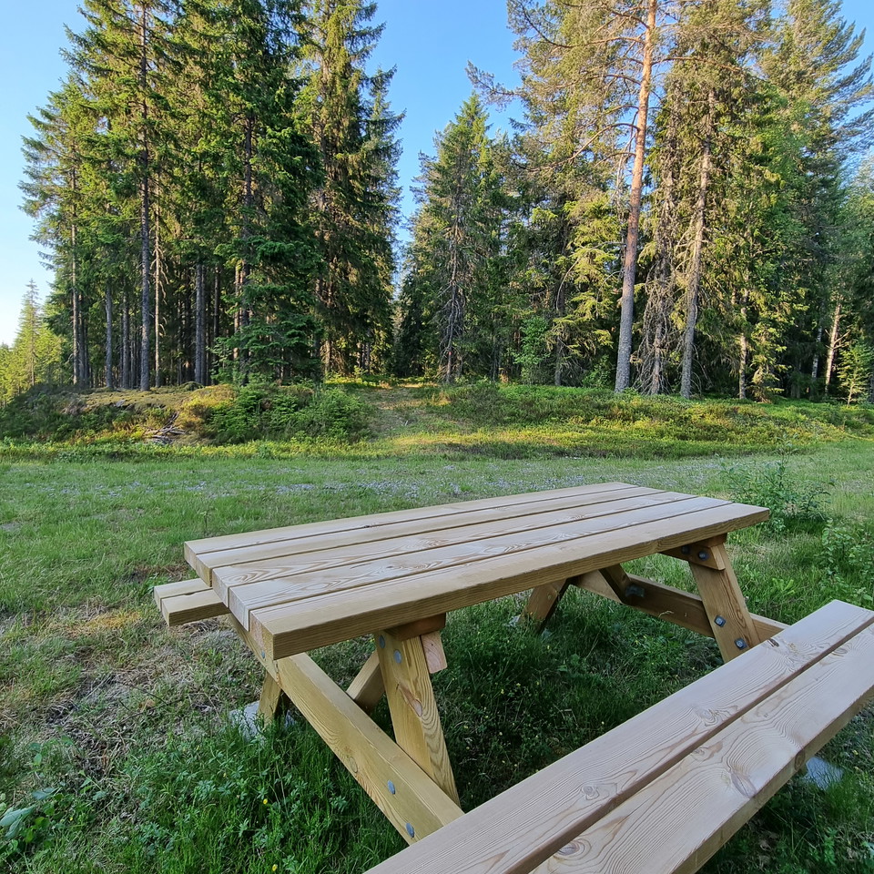
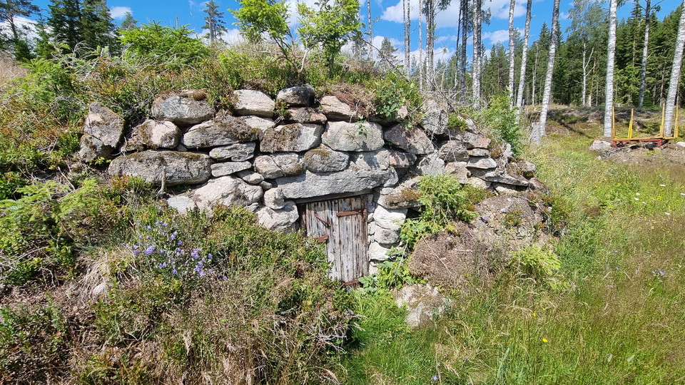
Nearby the remains of the croft Nytorp, the two trails Finnleden Östra and Västra meet. Here is a roofed bench table. In summer you can still see garden plants around the croft remains. Nytorp was inhabited till the 1940s.
Rastplats Vassvika
- Kommune: Arvika
- 6548.03 km fra deg
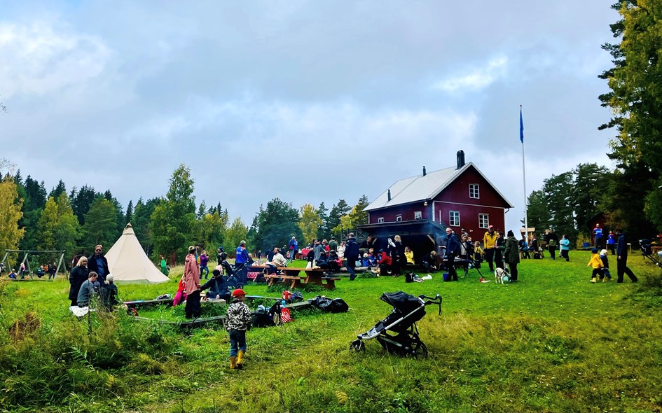
The Swedish Outdoor Association owns the club house Vassvikastugan and they have made a fireplace with benches and a windshelter.
Utsiktsplats Gallberget
- Kommune: Arvika
- 6552.87 km fra deg
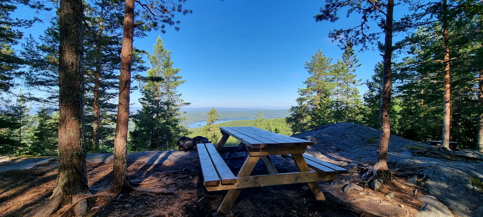
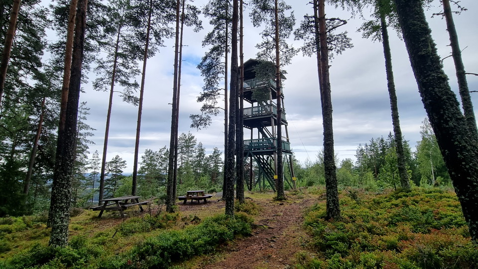
Here is a bench table with both a beautiful view and a place to sit down and take a break. You see Lake Racken to the west.
Utsiktsplats Djupdalshöjden
- Kommune: Arvika
- 6554.47 km fra deg
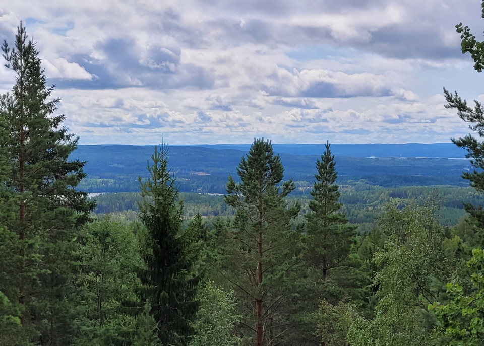
A beautiful view and a bench table meets you at Djupdalshöjden. This stage of the trail follows a ridge with pine forest.
Intressepunkt Torgeirs källa
- Kommune: Arvika
- 6537.69 km fra deg
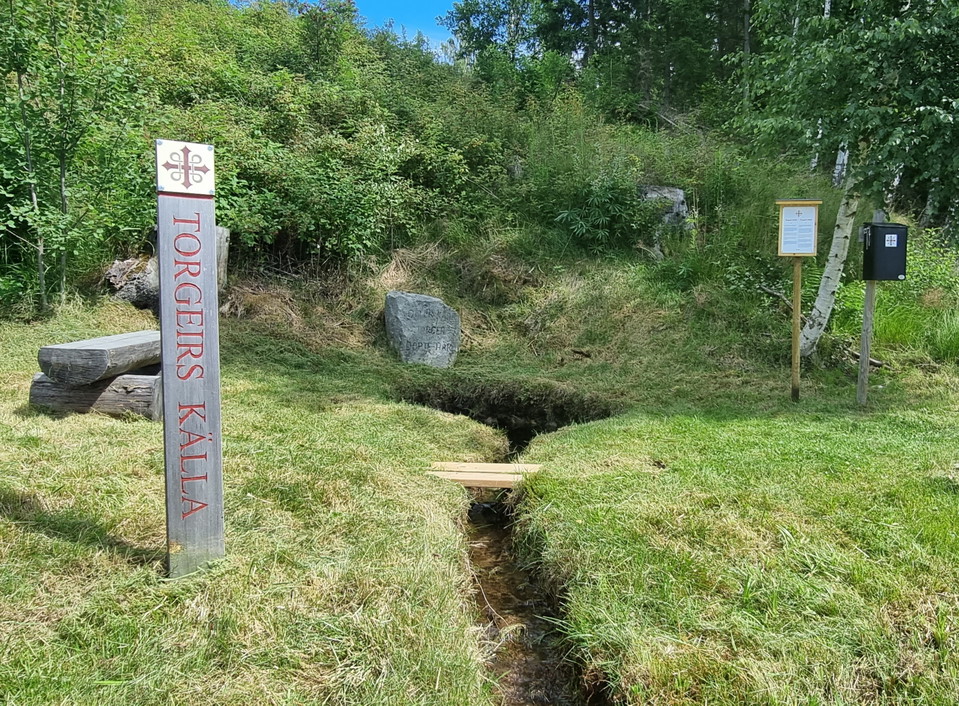
Torgeir's well is one of the four special pilgrim places in Arvika municipality, along the Pilgrim Trail of Western Värmland. This place might have been the starting point for the introduction of Christianity in Värmland. According to western Värmland tra…
Bänkbord 1, Varnans bäckdal
- Kommune: Kristinehamn
- 6643.40 km fra deg
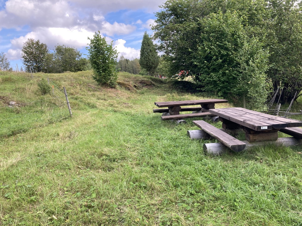
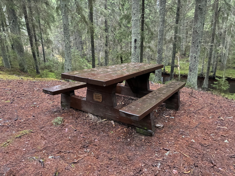
A cozy resting place in the lush spruce forest, overlooking Varnan in the hilly valley.
Bänkbord 2, Varnans Bäckdal
- Kommune: Kristinehamn
- 6643.37 km fra deg
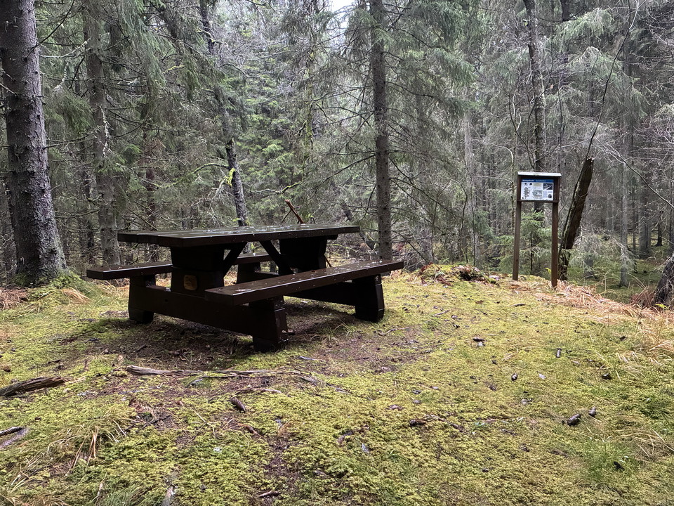
En mysig rastplats i den frodiga granskogen, med utsikt över Varnan i den kuperade dalgången.
Bänkbord 3, Varnans Bäckdal
- Kommune: Kristinehamn
- 6643.48 km fra deg
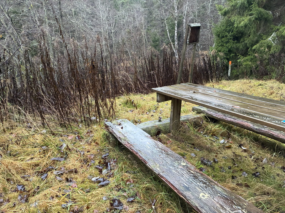
A cozy resting place in the lush mixed forest, overlooking Varnan in the hilly valley.

Rastbord på trädäck Onsön, Segerstads skärgård
- Kommune: Karlstad
- 6603.81 km fra deg
Karlstad municipality's picnic table at the pier on Onsön
Rastplats Ritamäki
- 6522.14 km fra deg
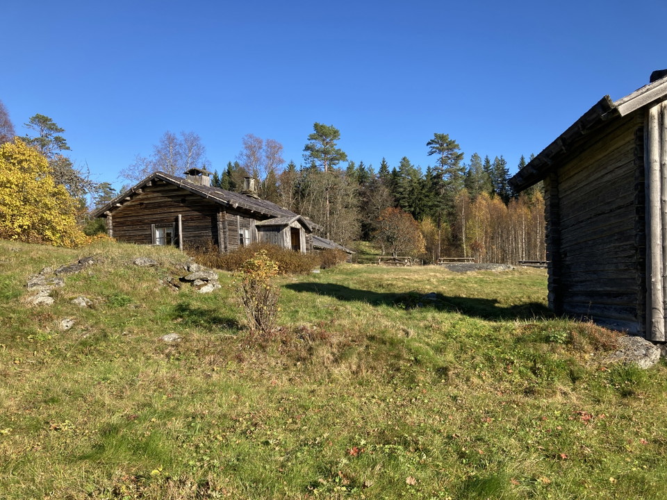
Rastplatsen ligger uppe på gårdstunet mellan de gamla träbyggnaderna. Det finns tre rastbord.
