
Parkeringsplass
Värmlands län
Bilder

Kart
135 Parkeringsplass

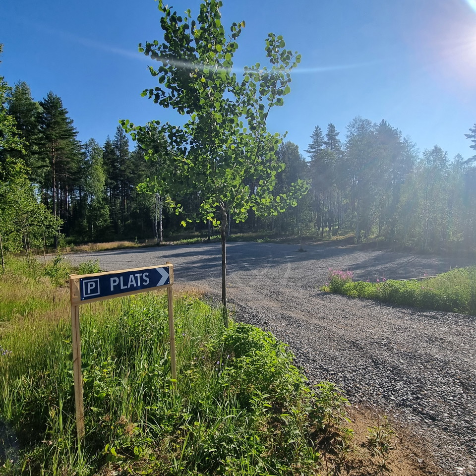
Parkering Lafallhöjden
- Kommune: Arvika
- 6535.86 km fra deg
Parking space for 4-5 cars, by the entry to Lafallhöjden croft. Please note that this is a protected Natura 2000-area, which means that dogs need to be leashed from this point and bikes need to be lead across the premises. See sign post for instruction on…
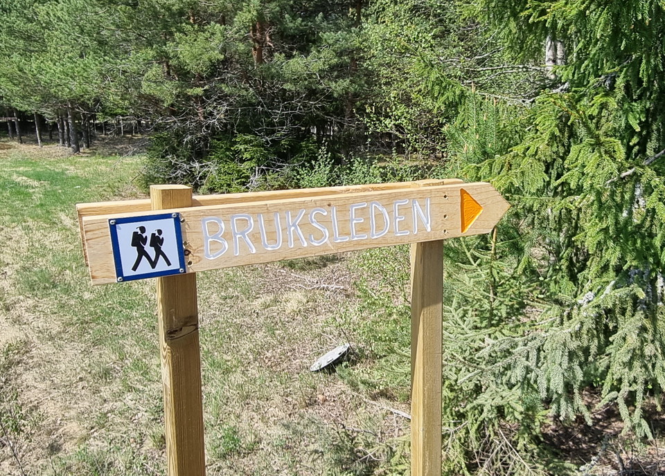
Parkering Treens camping
- Kommune: Arvika
- 6538.75 km fra deg
Here is a parking area for around 20 cars and the trail entry to Bruksleden and Finnvägen, with an access stage of about 1 km through the camp ground premises for cabins, disc golf and boat ramp. The parking area also hold motorhome-pitches. For more infor…
Parkering Gamla Fotbollsplanen
- Kommune: Arvika
- 6539.61 km fra deg
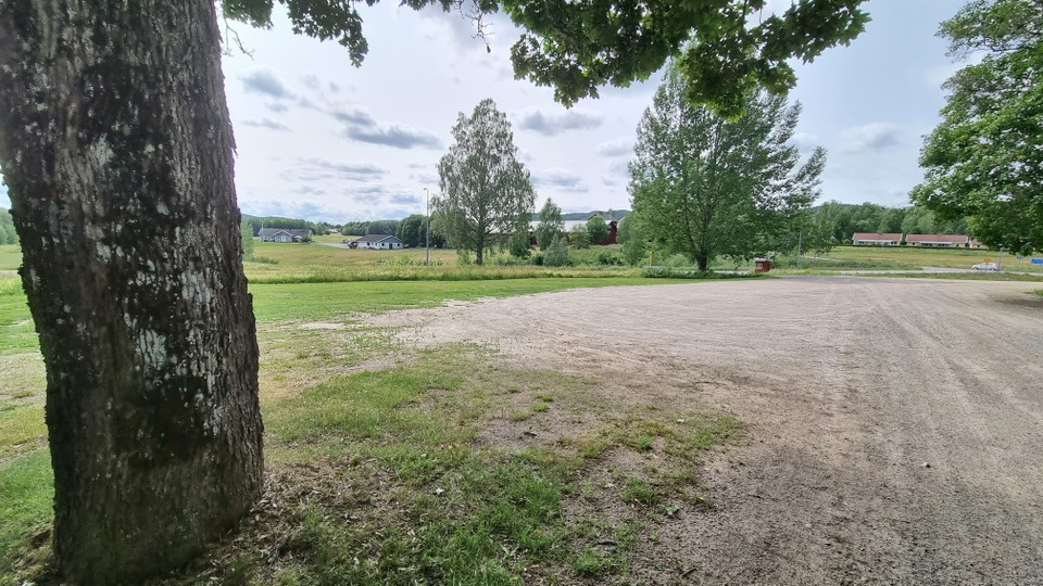
Spaceous parking area for around 20 cars next to road 885 (western side), about one kilometer north east of the Fredros junction.
Parkering Mangskogs kyrka
- Kommune: Arvika
- 6556.22 km fra deg
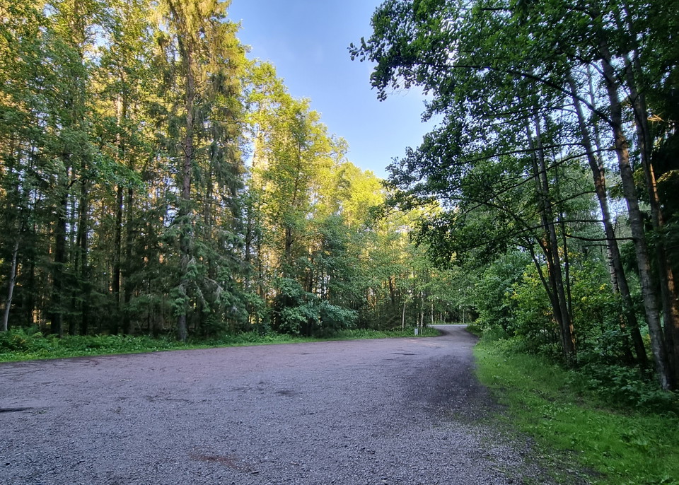
Spaceous parking area at the entrance of the church and cemetary of Mangskog.
Parkering Jössestugan
- Kommune: Arvika
- 6551.93 km fra deg
Parking area for around 10-15 cars. To access the hiking trails and Jössestugan, which is the club house for OK Jösse (orienteering), you walk past the road barrier and up the hill about 200 meters.
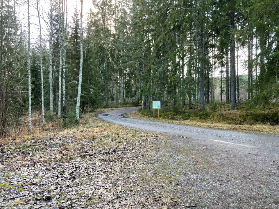
Parkering Vassvikastugan
- Kommune: Arvika
- 6548.01 km fra deg
The parking area holds about 15-20 cars. The Vassvikastugan is 150 meters from the parking and is the club house of Friluftsfrämjandet (the Swedish Outdoor Association).
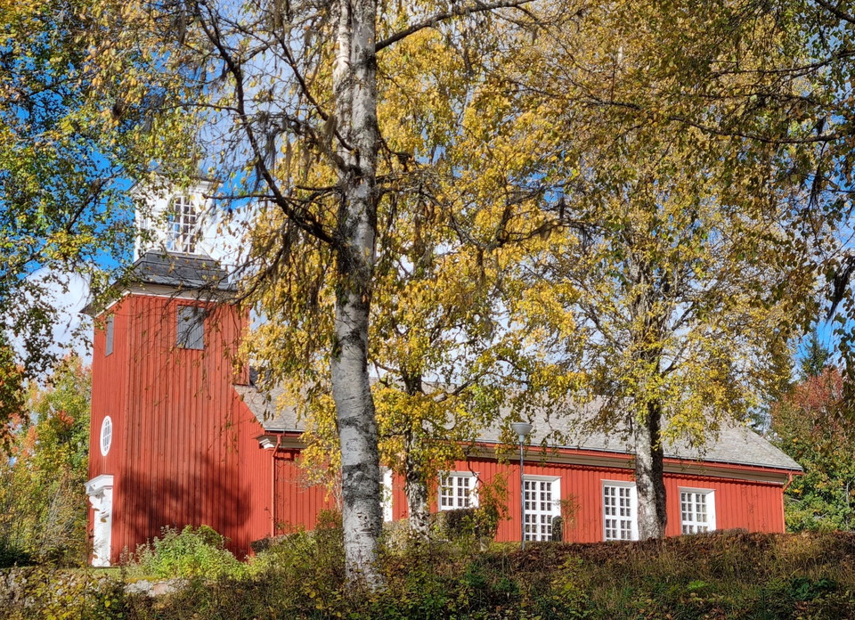
Parkering Bogens kyrka
- Kommune: Arvika
- 6527.24 km fra deg
Opposite the church of Bogen, there is a parking area for around 10 cars. The hiking trail starts behind the congregational house next to the parking area.
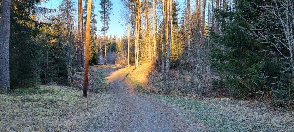
Parkering Prästängens motionsspår
- Kommune: Arvika
- 6547.77 km fra deg
A 3 km long track, illuminated till 21.30. The start is opposite of the junction Agneteberg/Rosendal from the ring road. Maintained by Arvika Fastighets AB.
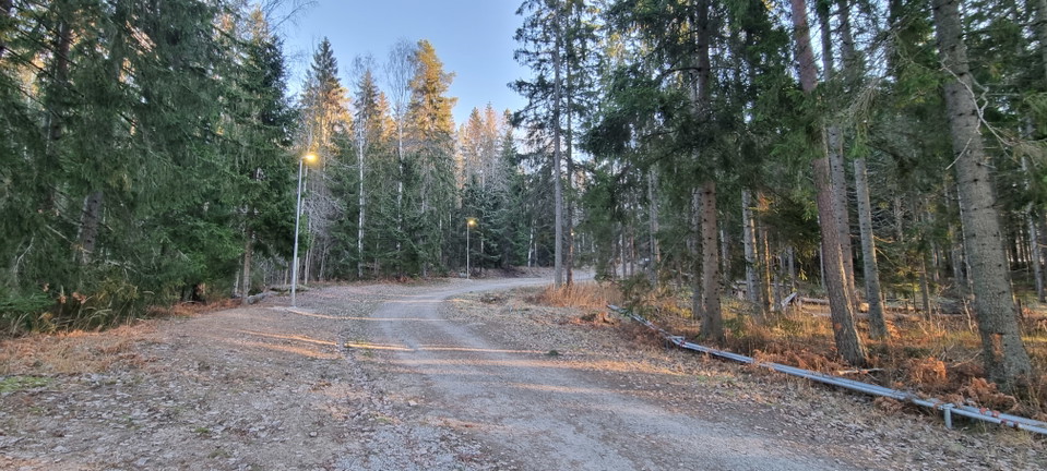
Parkering Viks motionsspår
- Kommune: Arvika
- 6551.05 km fra deg
These tracks are 3,5 km long, illuminated till 21.30. Wintertime there are cross country skiing tracks on either natural or artificial snow as soon as the temperatures allow. The cross country skiing tracks are normally prepared from the point where the so…
Parkering Ingestrands motionsspår
- Kommune: Arvika
- 6551.37 km fra deg
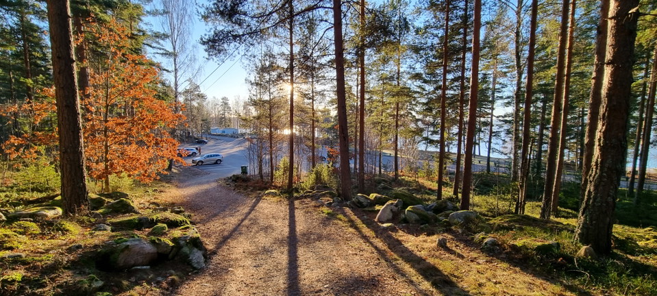
Tracks of 2,5 km, illuminated till 21.30 / 9:30 pm. Directions: Take off from the road 175 towards Säffle. Going from Arvika, that means a right-turn (to the west) towards Ingestrand. On Wednesdays and Thursdays between 19.00-21.30 it is allowed to bring l…
Parkering Styckåsskogens motionsspår
- Kommune: Arvika
- 6550.25 km fra deg
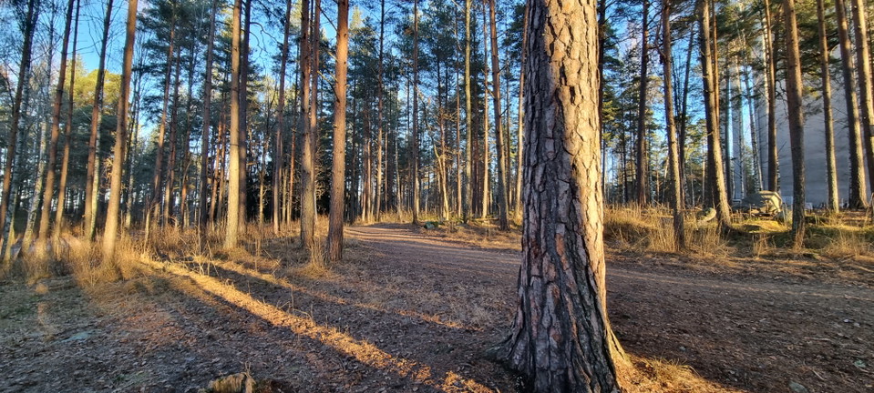
Tracks of 2,3 km with an outdoor gym at the south western stage of the tracks. The parking is situated opposite of the tennis courts. The tracks are partly illuminated. Directions: take off from Parkgatan, follow Landsvägsgatan up to the tennis courts. Ma…
