Brunn Tomasboda
- Kommune: Örebro
- 6682.80 km fra deg
There are two wells here and the one closest to the cottage has very good water. The other one further north from the cottage is not recommended.

Örebro län
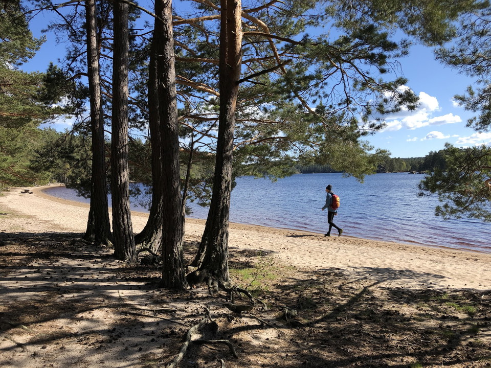
There are two wells here and the one closest to the cottage has very good water. The other one further north from the cottage is not recommended.
Here, some of our amazing trail angels - people who live along the trail and are extra committed - share their own drinking water.
Drinking water is available at Blankhults farm.
There is a rest area with a shelter, fireplace and toilet by Lillsjöbäcken stream next to Stenbäckens friluftsgård, roughly in the middle of the stage. There is no drinking water at the rest area, but the stream water is so clean that it can be used for coo…
There is a rest area with a shelter, a fireplace and a toilet at Bäckelid in the middle of the stage. Drinking water is available in a cold spring next to the rest area. If you feel unsure, you can filter or boil the water. Just north of the shelter there i…
Blankhults gård is a larger house where many can stay overnight. On the ground floor there is a kitchen, toilet and a large living room with a fireplace. The kitchen is well equipped with pots, dishes, coffee and kettle etc. Upstairs there are 4 beds divide…
Just 22 km northwest of Örebro, Ånnaboda nature reserve and outdoor area is located in the middle of Kilsbergen's magnificent nature. Here, activities abound all year round. You can hike, swim, exercise, cycle and ski. Ånnaboda is a complete facility all ye…
Rest area located near Tomasbodastugan which is only open on Sundays in winter. However, there is a toilet in a nearby building. There is a well with water. There is a wood store at the shelter.
The Bergslagsleden trail starts in the village of Kloten in the heart of the Malingsbo-Kloten nature conservation area. The wilderness is vast and the area is one of Sweden's most game-rich. Moose, beaver and roe deer thrive among the spruce-clad mountains…
Uskavigården is located on Lake Usken next to the Fanthyttan-Öskevik-Nora road. The farm is run jointly by several mission churches. Uskavigården is open daily during the summer season. Accommodation is offered in hostels and cottages. Uskavi also has a cam…
To get to Pershyttan, take off from county road 244 Örebro-Hällefors at the turnoff towards Nora and follow the highway towards Pershyttan, it is signposted. There is a parking lot, toilet, water and seasonal restaurant. In the village there are also a coup…
Ånnaboda is a center for outdoor life in Kilsbergen. The facility is located on a public road 4 km north of Garphyttan. Restaurant and café as well as hotel and accommodation in cottages. and camping. In addition, conference activities. There is a rich sele…
On the northern shore of Lake Borasjön, on the border between Närke and Västergötland, Ramundeboda, or as it was also known, St. Antonii Monastery in Tiveden, was founded in the 15th century. The Tiveden brothers' main task was to house travelers and provid…