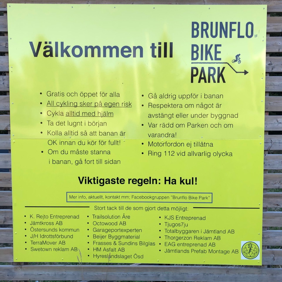
Iron Man donwhill
- Kommune: Östersund
- 6482.66 km fra deg
- 0.3 km
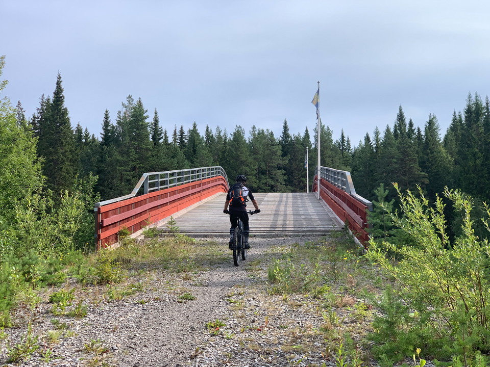
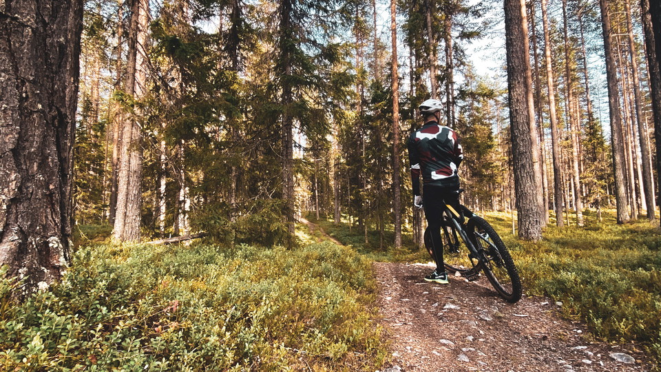
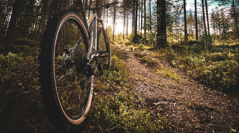
Här finns fin downhillcykling där man får extra motion då man får cykla upp när man har tagit sig ner. Det är varierad svårighetsgrad på lederna.

Jämtlands län
Naturkartan samlar de mountainbikeleder i Jämtlands län som är populärast bland våra användare.
Här finns fin downhillcykling där man får extra motion då man får cykla upp när man har tagit sig ner. Det är varierad svårighetsgrad på lederna.
There is nice downhill cycling where you get extra exercise as you can cycle up when you have gone down. There are varying degrees of difficulty on the trails.
There is nice downhill cycling where you get extra exercise as you can cycle up when you have gone down. There are varying degrees of difficulty on the trails.
A nice but physically demanding cross country trail. The surface is mostly nice path without roots but in places it is a bit muddy and wet. The trail runs in hilly terrain and it is easy to get your heart rate up.
This MTB tour starts from Åsarna Stenvalvbro. An MTB tour that starts with about two miles of easier and flatter terrain, alternating between nice trails and smaller gravel roads. Then begins a more substantial climb of about 30 minutes, up Klövsjöberget wi…
This is the route for the annual Åsarna-trampet competition! You cycle on everything from gravel roads to trails to climbing paths with challenging sections.
**Technically steep in varied terrain Dark pink marking Start at Rastplats Sandtjärn. To get to Ronny's run, take the dark blue Sandtjärnsrundan trail counterclockwise up to the windbreak at Hjärttjärn. Enjoy fantastic views before you roll downhill and hav…
**Demanding trails in both mountain and forest terrain Start at the parking lot to Brudslöjan at E14, just before the national border. Steep start before it eventually joins Smuggler's run. There are nice views of Teveldalen and Rypetoppen before you contin…
Märkning: röd o vit Stigning: 45 höjdmeter Utför: 50 höjdmeter Turen går från Bölegården svagt utför ner mot den gamla slåtterängen Graven. Fortsätter sedan genom vacker tallskog fram till Röjån, vid Myrängebron. Följer den forsande ån nedströms till ”Sto…
Labeling: red and white Ascent: 135 altitude meters Execute: 130 altitude meters From Bölegården, the trail goes uphill along the village road and passes the viewpoint where Klövsjö and Vemdalsfjällen are panned with a mile-wide view. The tour continues alo…
Labeling: red/black Ascent: 195 altitude meters Execute: 210 altitude meters Böleleden starts at Bölegården, goes uphill along the village road and passes the viewpoint where Klövsjö and Vemdalsfjällen are panned with a mile-wide view. Continue along the ol…
Classic tour for both cycling and hiking. Start at the Sandtjärn rest area. The trail starts in a flatter terrain before an easier climb up Sandtjärnrun. Continue past the windbreak at Hjärttjärn and turn left towards the highest point. From here you have m…
**Varied forest trail for both hikers and cyclists Light pink marking Start at the Sandtjärn rest area. You follow the shoreline of both Sandtjärnarna lakes, after that the trail turns off over some boardwalked bogs and up on rocks before you pass a bridge…
**A trail for walking and cycling so you don't have to walk along the E14 The trail starts on the edge of the Visjövalen cottage area. A flat trail that takes you over the marshes on footbridges and slightly uphill along the E14. Further a short bit in the…
Kortare utförslöpa över gränsen ner till Teveldalen Börja vid parkeringen till Brudslöjan vid E14, just innan riksgränsen. Leden börjar brant men flackar ut efter du passerat riksgränsen. En kort cykeltur som tar dig ner till Teveltunets Fjellstue och Rypet…
Naturkartan samlar de mountainbikeleder i Jämtlands län som är populärast bland våra användare.